Login

Forgot your login?

Cookies have to be accepted!
Your browser's cookie functionality is disabled. Please enable this functionality.

Not a member yet?

Register now
Login

Available for registred users only

Log in to use this feature.

Forgot your login?

Cookies have to be accepted!
Your browser's cookie functionality is disabled. Please enable this functionality.

Not a member yet?

Register now
Filter
Categories
Advanced filters
  • Distance (km)
  • Height
Save filters Reset filter

TrackRank

QRCode

Technical data

Distance11,7 km Height502 m Way down492 m Duration05:37 h:m Date20.07.2012
Scores Author Landscape Fun factor Fitness Technique

Statistics

252 Views Scores 12 Downloads Average
Rate
  • Track data sheet
  • Directions
  • Downloads
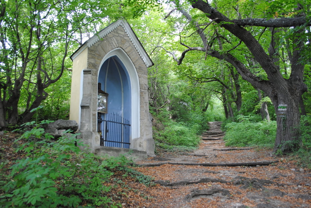
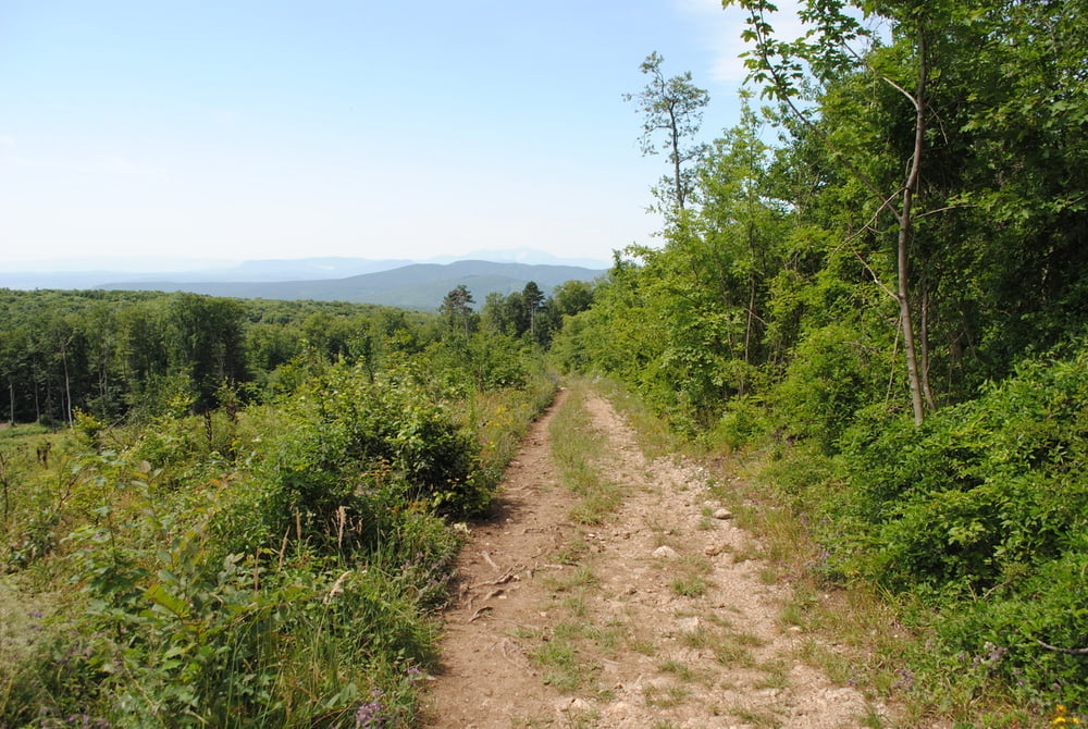
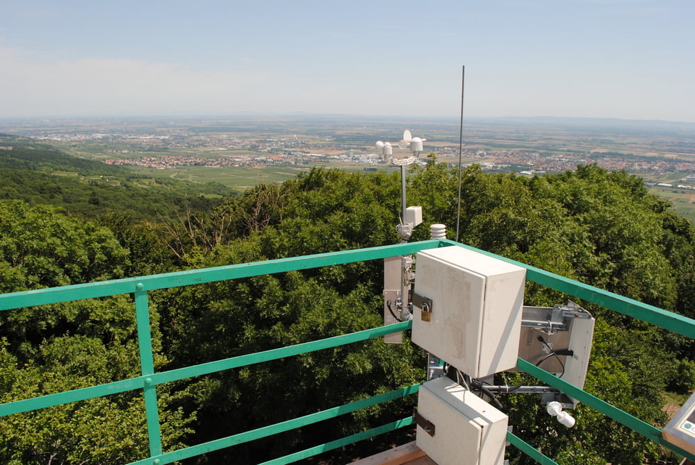
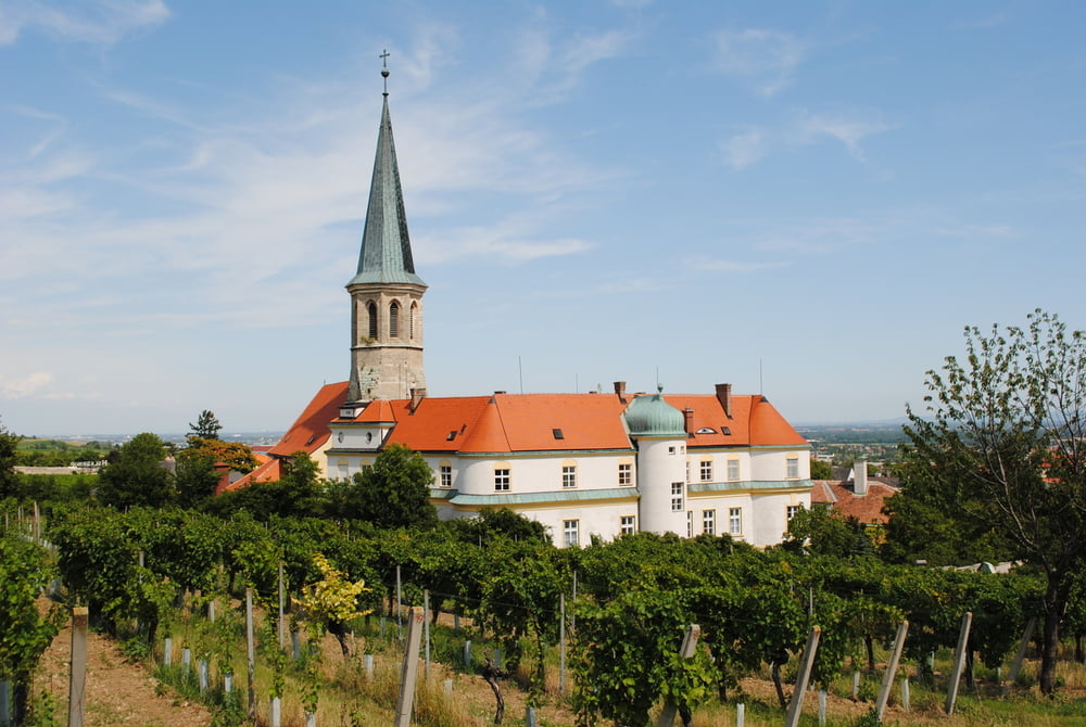
Start bei der Kirche in Gumpoldskirchen..Auf roter Markierung durch den Ort,links an der Kirche vorbei bis zu einen Bildstock und dann steil rechts bergauf, vorbei an wunderschönen Bildstöcken bis zur Hubertushütte.Dort rechts ca.200m bis zum Kalenderweg.Immer bergan bis zum Aningerschutzhaus.Sehr gut markiert mit Wegweiser ,daher spare ich mir die Markierungshinweise.Rauf und runter in der Landschaft bis zur Rudolf Prokschhütte.Sehr gute Hausmannskost mit Schwerpunkt auf Wildschweinbraten!!!Besuch der Klesheimwarte (tolle Fernsicht) und auf gut beschriebenen Wegen zurück nach Gumpoldskirchen.

Further information at

http://www.prokschhuette.at/

Tour gallery

Tour map and elevation profile

  • Open Street Map
  • Google
Minimum height 259 m Maximum height 667 m Detailed view

More about the tour author

LeoCheops
Member since 2008

Send private message

Comments

GPS tracks

Trackpoints
  • GPX / Garmin Map Source (gpx) download
  • TCX / Garmin Training Center® (tcx) download
  • CRS / Garmin Training Center® (crs) download
  • Google Earth (kml) download
  • G7ToWin (g7t) download
  • TTQV (trk) download
  • Overlay (ovl) download
  • Fugawi (txt) download
  • Kompass (DAV) Track (tk) download
  • Track data sheet (pdf) download
  • Original file of the author (gpx) download

More about the tour author

LeoCheops
Member since 2008

Send private message
Share track
Add to my favorites
Remove from my favorites
Edit tags
My score
Rate
Track: Um den Anninger zur Rudolf Prokschhütte (19.07.2012)
Type: Mountain hiking
Distance: 11,7 km
Evaluated on:
Duration:
Day(s)
Hour(s)
Minute(s)
Score: Landscape Fun factor Fitness Technique