Login

Forgotten password?

Cookies have to be accepted!
Your browser's cookie functionality is disabled. Please enable this functionality.

Not a member yet?

Register now
Login

Available for registred users only

Log in to use this feature.

Forgotten password?

Cookies have to be accepted!
Your browser's cookie functionality is disabled. Please enable this functionality.

Not a member yet?

Register now
Filter
Categories
Advanced filters
  • Distance (km)
  • Height
Save filters Reset filter

TrackRank

QRCode

Technical data

Distance13,7 km Height302 m Way down329 m Duration03:45 h:m Date05.08.2012
Scores Author User Landscape Fun factor Fitness Technique

Statistics

311 Views 1 Score 57 Downloads 4.00 Average
Rate
  • Track data sheet
  • Directions
  • Downloads
Dieser Track ist eine leichte Abwandlung der Route 05 aus dem Wanderführer "20 Wanderungen im Kreis Mettmann Nord" aus dem Droste Verlag.
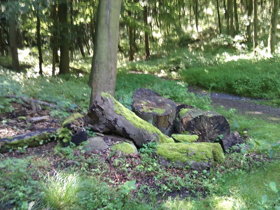
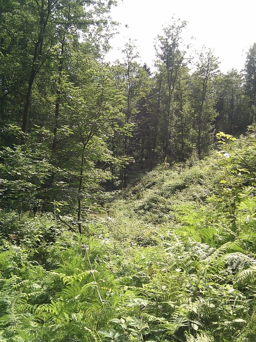
Tour gallery

Tour map and elevation profile

  • Open Street Map
  • Google
Minimum height 50 m Maximum height 172 m Detailed view

More about the tour author

TobyDean
Member since 2011

Send private message

Comments

Parken kann man wunderbar auf dem P+R-Parkplatz des S-Bahn-Hofes in Essen-Werden. Von dort geht man dann über die Schienen aufwärts.

GPS tracks

Trackpoints
  • GPX / Garmin Map Source (gpx) download
  • TCX / Garmin Training Center® (tcx) download
  • CRS / Garmin Training Center® (crs) download
  • Google Earth (kml) download
  • G7ToWin (g7t) download
  • TTQV (trk) download
  • Overlay (ovl) download
  • Fugawi (txt) download
  • Kompass (DAV) Track (tk) download
  • Track data sheet (pdf) download
  • Original file of the author (gpx) download

More about the tour author

TobyDean
Member since 2011

Send private message
Share track
Add to my favorites
Remove from my favorites
Edit tags
My score
Rate
Track: Essen-Bredeney
Type: Hiking
Distance: 13,7 km
Evaluated on:
Duration:
Day(s)
Hour(s)
Minute(s)
Score: Landscape Fun factor Fitness Technique