


Die Tour geht von Hof (Saale) nach Kahla in Thürigen, da meine Bremse durch Pech und Unaufmerksamkeit kaputt gegangen ist. Der Radweg geht noch bis zur Mündung hinter Bernburg weiter. Bei Bernburg schneidet er den R1.
Bis Kahla war er gut ausgeschildert und mit einem Flyer "Saale-Radwanderweg" und hilfreichen Passanten ist er auch ohne Detailkarten machbar.
Further information at
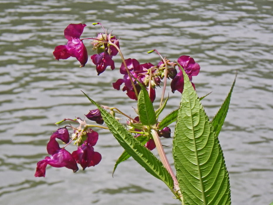
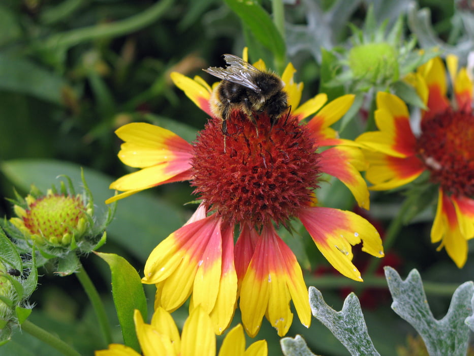
http://www.bahn.de/p/view/index.shtmlTour gallery
Tour map and elevation profile
Minimum height 161 m
Maximum height 547 m
More about the tour author

|
Baron_Boris |
Comments

Hof in Oberfranken ist gut mit der Bahn erreichbar. Z. B. von Regenburg, Nürnberg und Dresden.
GPS tracks
Trackpoints-
GPX / Garmin Map Source (gpx) download
-
TCX / Garmin Training Center® (tcx) download
-
CRS / Garmin Training Center® (crs) download
-
Google Earth (kml) download
-
G7ToWin (g7t) download
-
TTQV (trk) download
-
Overlay (ovl) download
-
Fugawi (txt) download
-
Kompass (DAV) Track (tk) download
-
Track data sheet (pdf) download
-
Original file of the author (gpx) download
More about the tour author
|
|
Baron_Boris |
Add to my favorites
Remove from my favorites
Edit tags
Open track
My score
Rate