Login

Forgotten password?

Cookies have to be accepted!
Your browser's cookie functionality is disabled. Please enable this functionality.

Not a member yet?

Register now
Login

Available for registred users only

Log in to use this feature.

Forgotten password?

Cookies have to be accepted!
Your browser's cookie functionality is disabled. Please enable this functionality.

Not a member yet?

Register now
Filter
Categories
Advanced filters
  • Distance (km)
  • Height
Save filters Reset filter

TrackRank

QRCode

Technical data

Distance10,7 km Height221 m Way down227 m Duration03:00 h:m Date26.08.2012
Scores Author Landscape Fun factor Fitness Technique

Statistics

2160 Views Scores 65 Downloads Average
Rate
  • Track data sheet
  • Directions
  • Downloads

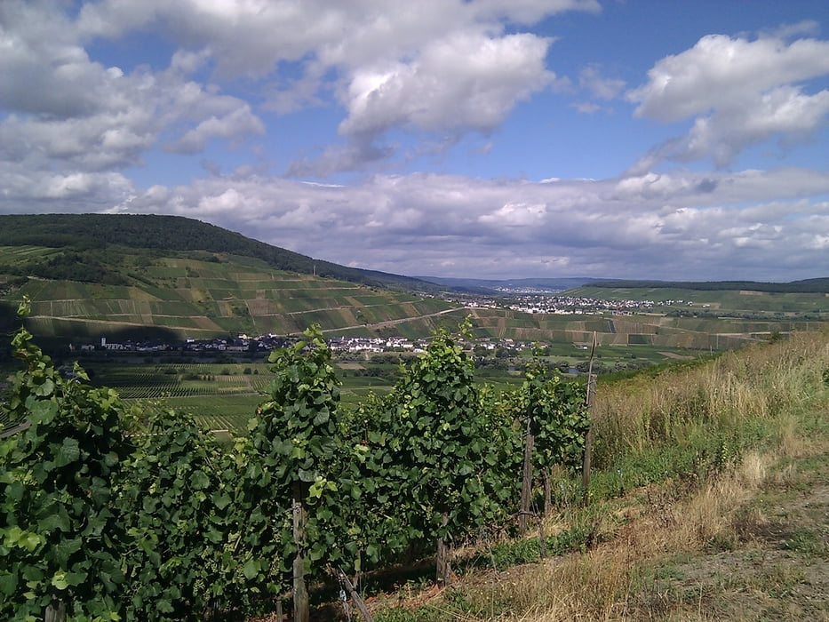
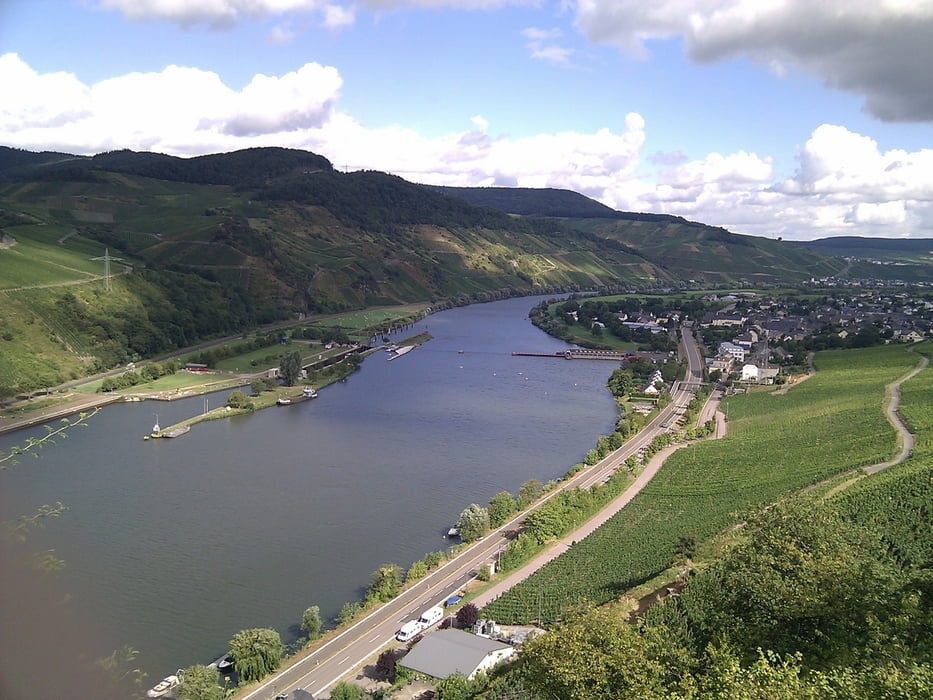
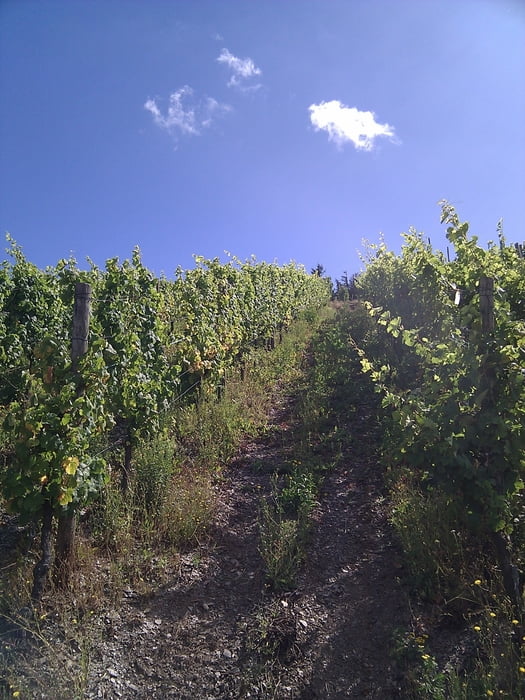
Wintrich ist ein Winzerdorf im Tal der Mosel. Umgeben von Weinbergen lässt es sich auf verschiedenen Wanderwegen gut laufen. Zur Stärkung laden die Straussenwirtschaften und Cafes ein.

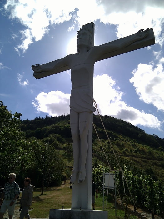
Wir beginnnen die Tour in der Mitte des Dorfes und steigen dann Richtung großer Herrgott auf dem Weinlehrpfad auf. Später gehen wir von großen Herrgott durch die Weinberge und stoßen auf den Sonnenweg, dem wir bis zur Dorfmitte folgen.

Tour gallery

Tour map and elevation profile

  • Open Street Map
  • Google
Minimum height 109 m Maximum height 260 m Detailed view

More about the tour author

TobyDean
Member since 2011

Send private message

Comments

Die Tour beginnt in der Mitte des Dorfes und folgt dem einlehrpfad bis zum großen Herrgott.

GPS tracks

Trackpoints
  • GPX / Garmin Map Source (gpx) download
  • TCX / Garmin Training Center® (tcx) download
  • CRS / Garmin Training Center® (crs) download
  • Google Earth (kml) download
  • G7ToWin (g7t) download
  • TTQV (trk) download
  • Overlay (ovl) download
  • Fugawi (txt) download
  • Kompass (DAV) Track (tk) download
  • Track data sheet (pdf) download
  • Original file of the author (gpx) download

More about the tour author

TobyDean
Member since 2011

Send private message
Share track
Add to my favorites
Remove from my favorites
Edit tags
My score
Rate
Track: Wintrich
Type: Hiking
Distance: 10,7 km
Evaluated on:
Duration:
Day(s)
Hour(s)
Minute(s)
Score: Landscape Fun factor Fitness Technique