Login

Forgot your login?

Cookies have to be accepted!
Your browser's cookie functionality is disabled. Please enable this functionality.

Not a member yet?

Register now
Login

Available for registred users only

Log in to use this feature.

Forgot your login?

Cookies have to be accepted!
Your browser's cookie functionality is disabled. Please enable this functionality.

Not a member yet?

Register now
Filter
Categories
Advanced filters
  • Distance (km)
  • Height
Save filters Reset filter

TrackRank

QRCode

Technical data

Distance41,7 km Height0 m Way down0 m Duration03:00 h:m Date30.08.2012
Scores Author Landscape Fun factor Fitness Technique

Statistics

273 Views Scores 22 Downloads Average
Rate
  • Track data sheet
  • Directions
  • Downloads

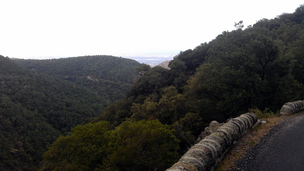
Nice Circle into the mountains south of Ceret on quiet paved roads.

The uphill is not steep at all and follows a very scenic route to Las Illas. After Las Illas the road heads west until you reach the final downhill, which is a bit steeper as the uphill and leads you back to the center of Ceret.


If you're looking for some more challenge do the tour counterclockwise, as the uphill will be steeper and there is no shade on sunny days (I hated it :))


Tour gallery

Tour map and elevation profile

  • Open Street Map
  • Google
Minimum height 99999 m Maximum height -99999 m Detailed view

More about the tour author

DonSegafredo
Member since 2011

Send private message

Comments

Start at the "Pont de Ceret" at the eastern entrance of the town.

GPS tracks

Trackpoints
  • GPX / Garmin Map Source (gpx) download
  • TCX / Garmin Training Center® (tcx) download
  • CRS / Garmin Training Center® (crs) download
  • Google Earth (kml) download
  • G7ToWin (g7t) download
  • TTQV (trk) download
  • Overlay (ovl) download
  • Fugawi (txt) download
  • Kompass (DAV) Track (tk) download
  • Track data sheet (pdf) download
  • Original file of the author (gpx) download

More about the tour author

DonSegafredo
Member since 2011

Send private message
Share track
Add to my favorites
Remove from my favorites
Edit tags
My score
Rate
Track: Ceret - Las Illas - Circle
Type: Road biking
Distance: 41,7 km
Evaluated on:
Duration:
Day(s)
Hour(s)
Minute(s)
Score: Landscape Fun factor Fitness Technique