Login

Forgot your login?

Cookies have to be accepted!
Your browser's cookie functionality is disabled. Please enable this functionality.

Not a member yet?

Register now
Login

Available for registred users only

Log in to use this feature.

Forgot your login?

Cookies have to be accepted!
Your browser's cookie functionality is disabled. Please enable this functionality.

Not a member yet?

Register now
Filter
Categories
Advanced filters
  • Distance (km)
  • Height
Save filters Reset filter

TrackRank

QRCode

Technical data

Distance21,6 km Height611 m Way down599 m Duration06:00 h:m Date08.09.2012
Scores Author Landscape Fun factor Fitness Technique

Statistics

738 Views Scores 14 Downloads Average
Rate
  • Track data sheet
  • Directions
  • Downloads
 Egy kissebb kör a hegységben,a túra a soproni kempingből indul és a Kutya-hegynél ér véget.Érinti a Bögre és a Gyertyános forrást,elhalad a Muck és a Bányász-kereszt mellett,Új-hermestől a Fehér úti tó-ig halad,majd az Ágfalvi hegygerincen érünk be Bánfalvára.
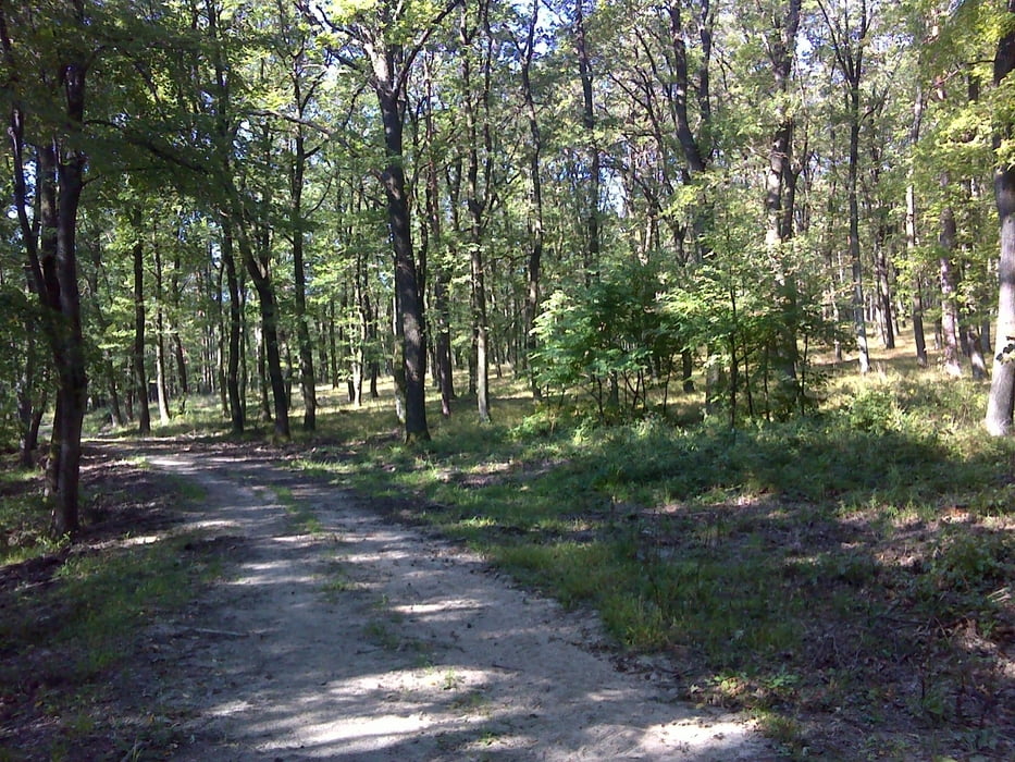
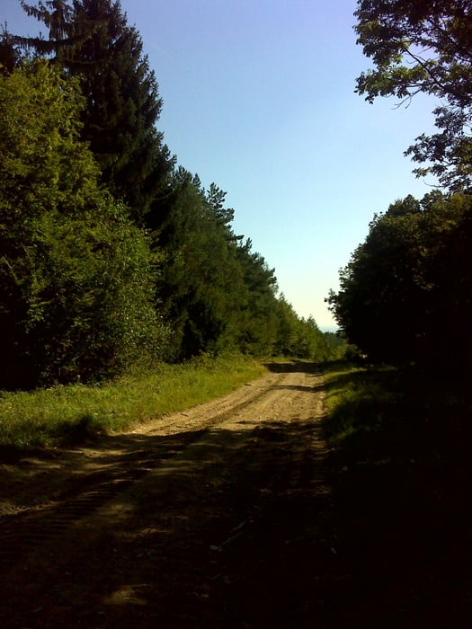
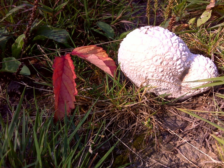
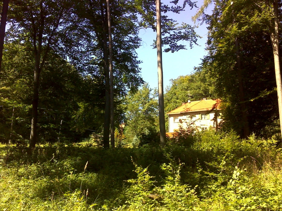
Tour gallery

Tour map and elevation profile

  • Open Street Map
  • Google
Minimum height 241 m Maximum height 532 m Detailed view

More about the tour author

frontera74
Member since 2011

Send private message

Comments

Kemping-kocsival ill.busszal,Bánfalvára szintén.

GPS tracks

Trackpoints
  • GPX / Garmin Map Source (gpx) download
  • TCX / Garmin Training Center® (tcx) download
  • CRS / Garmin Training Center® (crs) download
  • Google Earth (kml) download
  • G7ToWin (g7t) download
  • TTQV (trk) download
  • Overlay (ovl) download
  • Fugawi (txt) download
  • Kompass (DAV) Track (tk) download
  • Track data sheet (pdf) download
  • Original file of the author (gpx) download

More about the tour author

frontera74
Member since 2011

Send private message
Share track
Add to my favorites
Remove from my favorites
Edit tags
My score
Rate
Track: Séta a Soproni-hegységben
Type: Hiking
Distance: 21,6 km
Evaluated on:
Duration:
Day(s)
Hour(s)
Minute(s)
Score: Landscape Fun factor Fitness Technique