Login

Forgotten password?

Cookies have to be accepted!
Your browser's cookie functionality is disabled. Please enable this functionality.

Not a member yet?

Register now
Login

Available for registred users only

Log in to use this feature.

Forgotten password?

Cookies have to be accepted!
Your browser's cookie functionality is disabled. Please enable this functionality.

Not a member yet?

Register now
Filter
Categories
Advanced filters
  • Distance (km)
  • Height
Save filters Reset filter

TrackRank

QRCode

Technical data

Distance63,8 km Height33 m Way down35 m Duration04:42 h:m Date10.09.2012
Scores Author Landscape Fun factor Fitness Technique

Statistics

284 Views Scores 5 Downloads Average
Rate
  • Track data sheet
  • Directions
  • Downloads

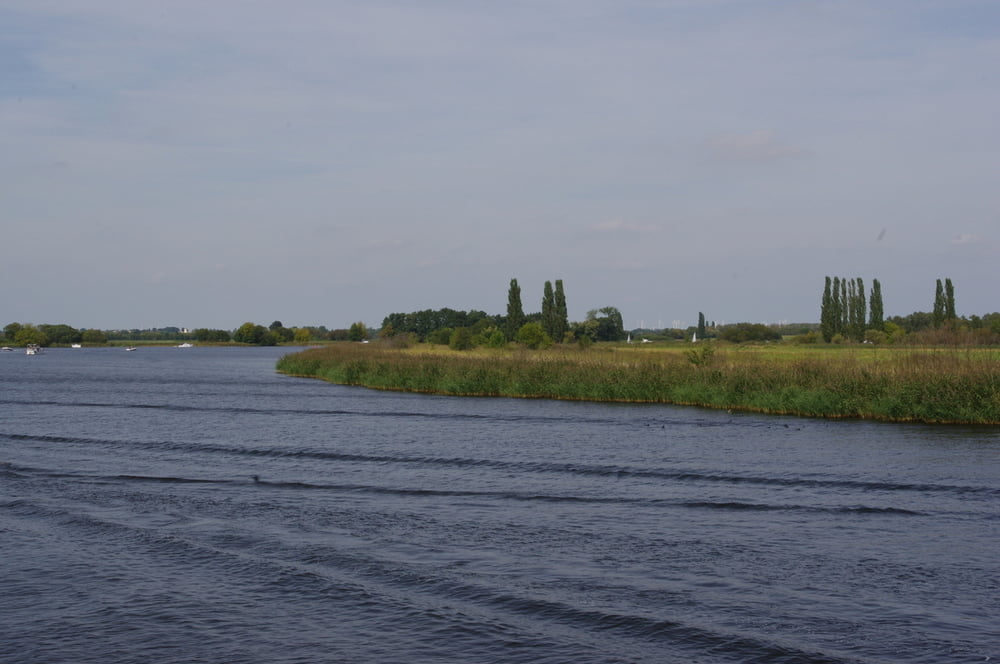
Was gibt es Schöneres als an einem wunderschönen Spätsommersonntag auf dem Wasser sich die Zeit zu vertreiben.

Die 10-Seentour war ideal. 

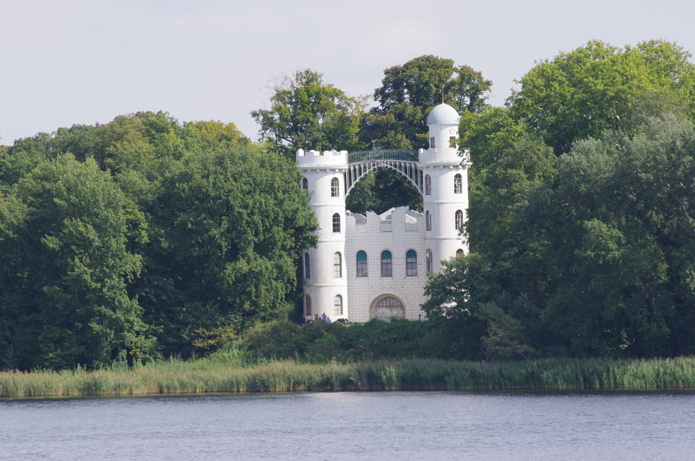
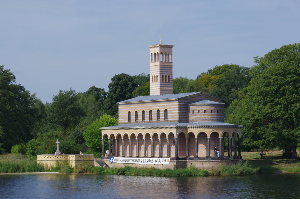
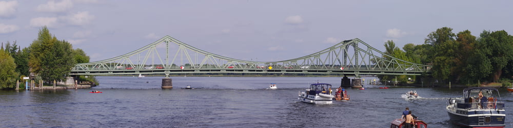
Die Sehenswürdigkeiten kommen hier Schlag auf Schlag. Besonders schön fand ich allerdings das Stück zwischen Caputh - Neu Töplitz und den Sacrow-Paretzer-Kanal.

Die übrigen Highlights brauche ich nicht zu beschreiben. Dazu sagt jeder Reiseführer mehr als genug.


Further information at

http://www.reederei-h-triebler.de/1801.html

Tour gallery

Tour map and elevation profile

  • Open Street Map
  • Google
Minimum height 29 m Maximum height 39 m Detailed view

More about the tour author

Pheinz
Member since 2009

Send private message

Comments

Ab Hafen Wannsee

GPS tracks

Trackpoints
  • GPX / Garmin Map Source (gpx) download
  • TCX / Garmin Training Center® (tcx) download
  • CRS / Garmin Training Center® (crs) download
  • Google Earth (kml) download
  • G7ToWin (g7t) download
  • TTQV (trk) download
  • Overlay (ovl) download
  • Fugawi (txt) download
  • Kompass (DAV) Track (tk) download
  • Track data sheet (pdf) download
  • Original file of the author (gpx) download

More about the tour author

Pheinz
Member since 2009

Send private message
Share track
Add to my favorites
Remove from my favorites
Edit tags
My score
Rate
Track: Auf dem Wasser ab Wannsee
Type: Sightseeing
Distance: 63,8 km
Evaluated on:
Duration:
Day(s)
Hour(s)
Minute(s)
Score: Landscape Fun factor Fitness Technique