Login

Forgotten password?

Cookies have to be accepted!
Your browser's cookie functionality is disabled. Please enable this functionality.

Not a member yet?

Register now
Login

Available for registred users only

Log in to use this feature.

Forgotten password?

Cookies have to be accepted!
Your browser's cookie functionality is disabled. Please enable this functionality.

Not a member yet?

Register now
Filter
Categories
Advanced filters
  • Distance (km)
  • Height
Save filters Reset filter

TrackRank

QRCode

Technical data

Distance8,3 km Height453 m Way down440 m Duration07:00 h:m Date09.10.2012
Scores Author Landscape Fun factor Fitness Technique

Statistics

375 Views 1 Score 40 Downloads 3.00 Average
Rate
  • Track data sheet
  • Directions
  • Downloads

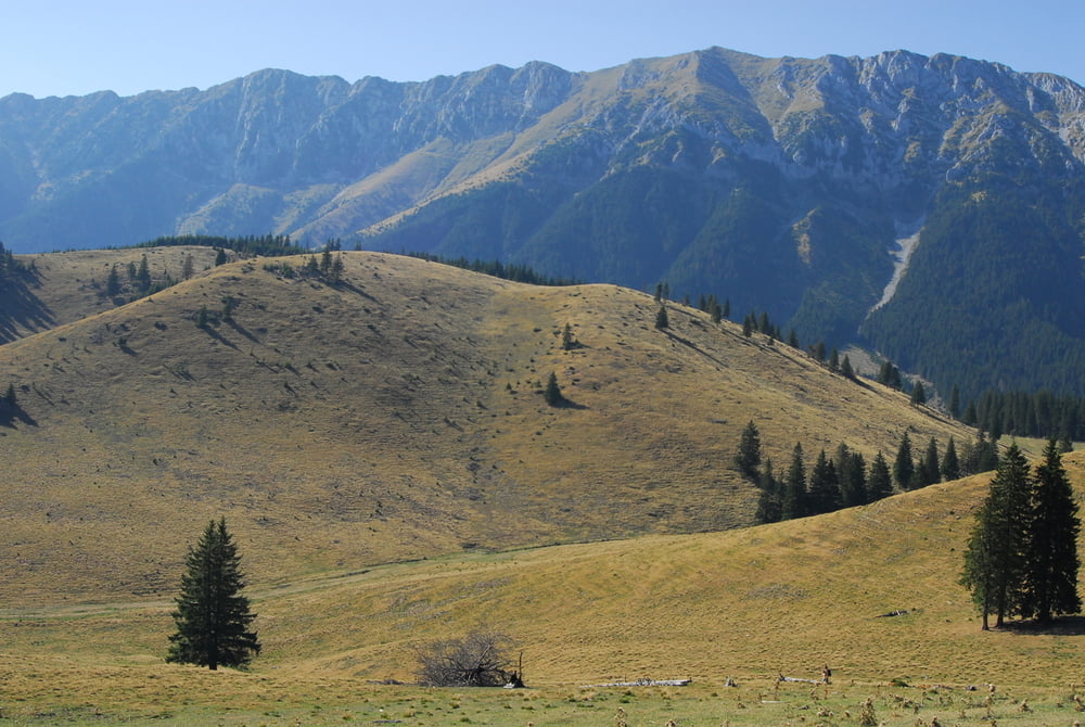
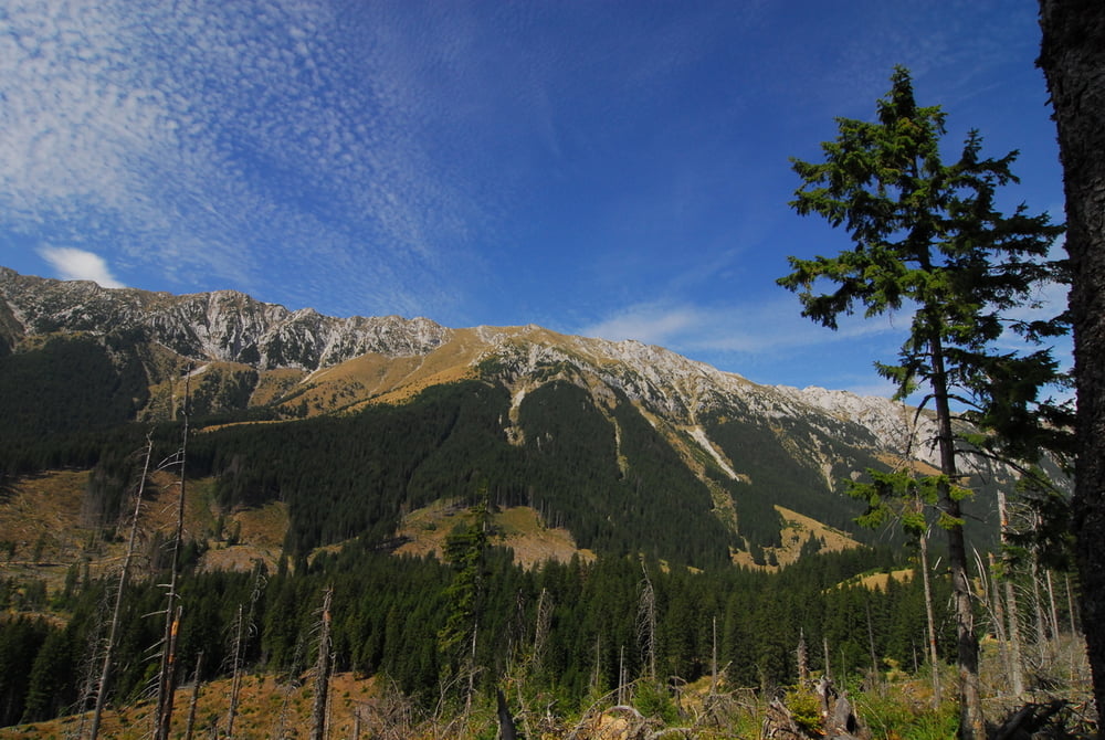
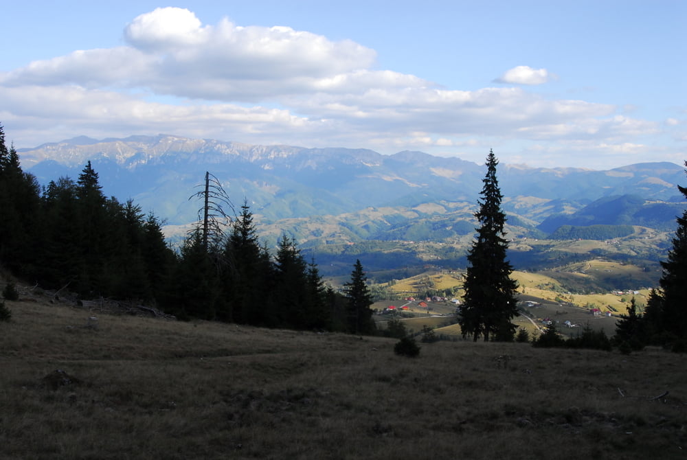
Am Ortsrand bei der Casa Folea/Pestera folgen wir dem gut markierten Wanderweg auf der Forststrasse Richtung Südwest. Wir folgen einem Bach bergan, bis wir schliesslich eine grosse Schafweide erreichen. Wir halten uns links am Waldrand und laufen direkt auf das schöne Königsteinmassiv zu. Dann verläuft ein Pfad auf einer grossen Lichtung in Richtung Nordost, dem Bach folgend. Man erreicht schliesslich wieder einen Forstweg, von dem schliesslich rechts der markierte Wanderweg Richtung Süden durch den Wald verläuft. Nach dem Überqueren des Hügels steigen wir in Richtung Casa Folea wieder ab.

Sehr schöner Rundweg im Nationalpark!
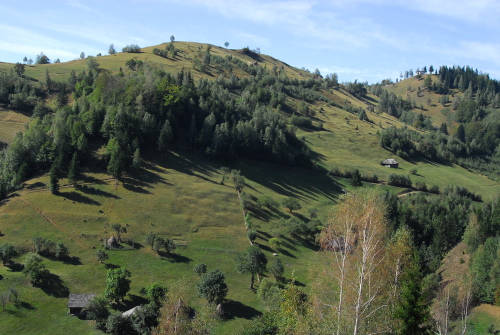
Tour gallery

Tour map and elevation profile

  • Open Street Map
  • Google
Minimum height 1214 m Maximum height 1467 m Detailed view

More about the tour author

lefti_de
Member since 2007

Send private message

Comments

Über Magura nach Pestera. Hier vorbei an der Casa Folea. Nach 200 m PKW am Waldrand parken.


GPS tracks

Trackpoints
  • GPX / Garmin Map Source (gpx) download
  • TCX / Garmin Training Center® (tcx) download
  • CRS / Garmin Training Center® (crs) download
  • Google Earth (kml) download
  • G7ToWin (g7t) download
  • TTQV (trk) download
  • Overlay (ovl) download
  • Fugawi (txt) download
  • Kompass (DAV) Track (tk) download
  • Track data sheet (pdf) download
  • Original file of the author (gpx) download

More about the tour author

lefti_de
Member since 2007

Send private message
Share track
Add to my favorites
Remove from my favorites
Edit tags
My score
Rate
Track: im Wald der Bären und Wölfe am Königstein
Type: Hiking
Distance: 8,3 km
Evaluated on:
Duration:
Day(s)
Hour(s)
Minute(s)
Score: Landscape Fun factor Fitness Technique