Login

Forgotten password?

Cookies have to be accepted!
Your browser's cookie functionality is disabled. Please enable this functionality.

Not a member yet?

Register now
Login

Available for registred users only

Log in to use this feature.

Forgotten password?

Cookies have to be accepted!
Your browser's cookie functionality is disabled. Please enable this functionality.

Not a member yet?

Register now
Filter
Categories
Advanced filters
  • Distance (km)
  • Height
Save filters Reset filter

TrackRank

QRCode

Technical data

Distance7,5 km Height183 m Way down183 m Duration02:00 h:m Date20.10.2012
Scores Author Landscape Fun factor Fitness Technique

Statistics

1245 Views Scores 107 Downloads Average
Rate
  • Track data sheet
  • Directions
  • Downloads

Der Track ist die Route 12 des Wanderführers "20 Wanderungen im Kreis Mettmann - der Norden".

Eine relative leichte Tour, wenn im Wanderführer auch als "anspruchsvolle Strecke" beschrieben.

Am Wegesrand laden einige Gaststätten zu Kaffee & Kuchen ein.

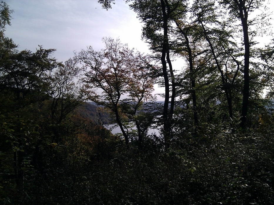
Direkt nach der ersten Kurve wird man mit einem landschaftlichen Highlight belohnt und bekommt Appetit auf den Rest der Tour.
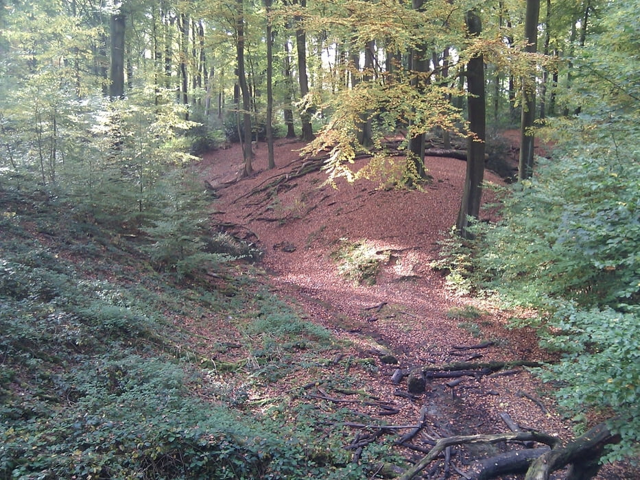
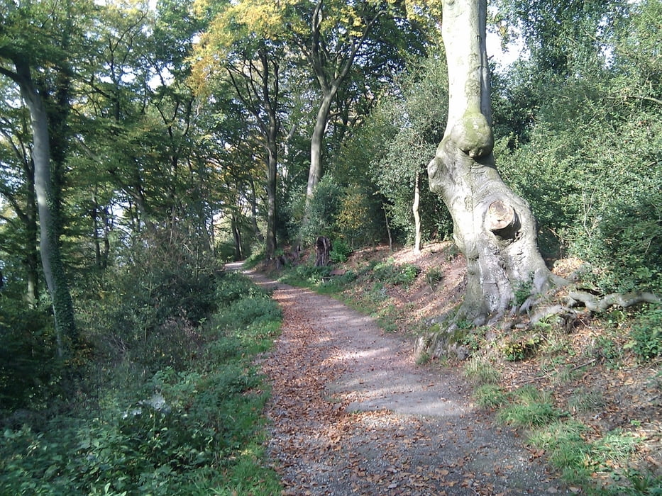
 

Tour gallery

Tour map and elevation profile

  • Open Street Map
  • Google
Minimum height 50 m Maximum height 157 m Detailed view

More about the tour author

TobyDean
Member since 2011

Send private message

Comments

Man kann hervorragend auf dem Parkplatz zum Jagdhaus Schellenberg parken, von wo aus die Tour auch beginnt.


GPS tracks

Trackpoints
  • GPX / Garmin Map Source (gpx) download
  • TCX / Garmin Training Center® (tcx) download
  • CRS / Garmin Training Center® (crs) download
  • Google Earth (kml) download
  • G7ToWin (g7t) download
  • TTQV (trk) download
  • Overlay (ovl) download
  • Fugawi (txt) download
  • Kompass (DAV) Track (tk) download
  • Track data sheet (pdf) download
  • Original file of the author (gpx) download

More about the tour author

TobyDean
Member since 2011

Send private message
Share track
Add to my favorites
Remove from my favorites
Edit tags
My score
Rate
Track: Der Schellenberger Wald
Type: Hiking
Distance: 7,5 km
Evaluated on:
Duration:
Day(s)
Hour(s)
Minute(s)
Score: Landscape Fun factor Fitness Technique