


24.10.2012
Ueber Passo del Ginestro (ca. 700m) herunter ins Lerrone-Tal.
Dann kurz vor Albenga abgebogen und eine ruhige, aber lange, steile Strasse hoch (bis etwa 400m). Dann bis Richtung Testico und Abfahrt San Damian nach Hause.
Man kann alternativ auch ueber die zwar stark befahrene, aber ebene Strasse am Meer entlang bis Andora fahren. Kurze Steigungen nur vor Alassio und am Ende von Lagueglia.
Si puo andara anche alla Strada sul mare via Alassio e Andora.
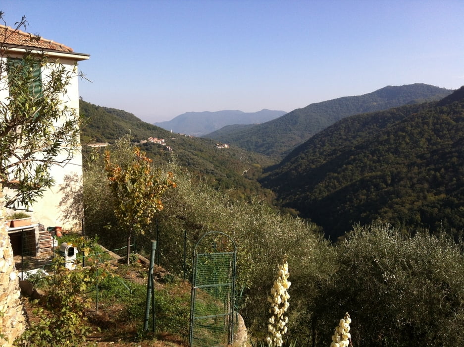
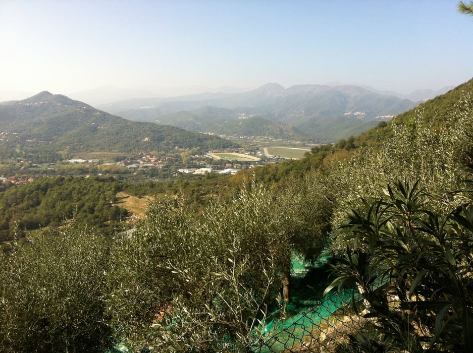
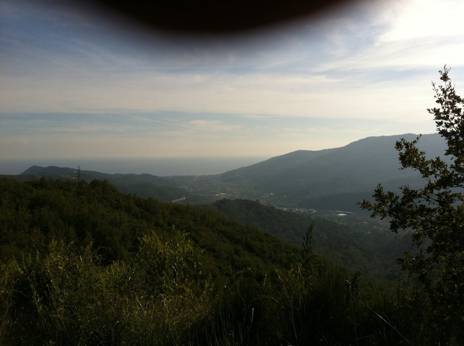
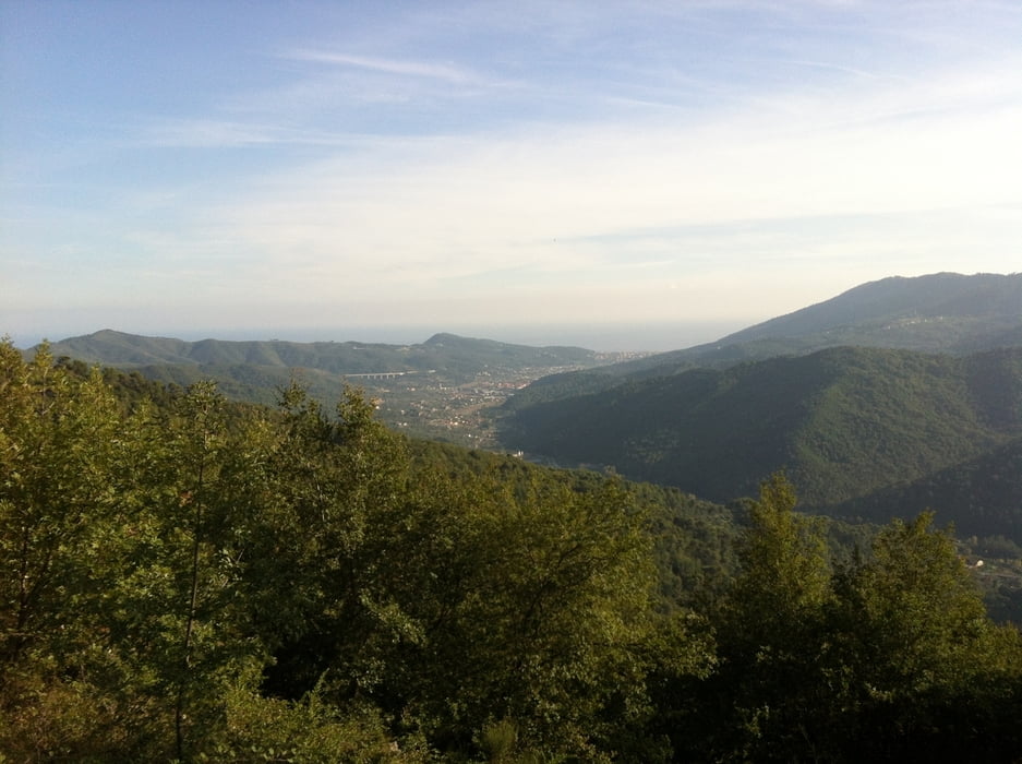
Tour gallery
Tour map and elevation profile
Minimum height 44 m
Maximum height 691 m
More about the tour author
|
|
GuenterM |
Comments

GPS tracks
Trackpoints-
GPX / Garmin Map Source (gpx) download
-
TCX / Garmin Training Center® (tcx) download
-
CRS / Garmin Training Center® (crs) download
-
Google Earth (kml) download
-
G7ToWin (g7t) download
-
TTQV (trk) download
-
Overlay (ovl) download
-
Fugawi (txt) download
-
Kompass (DAV) Track (tk) download
-
Track data sheet (pdf) download
-
Original file of the author (gpx) download
More about the tour author
|
|
GuenterM |
Add to my favorites
Remove from my favorites
Edit tags
Open track
My score
Rate