


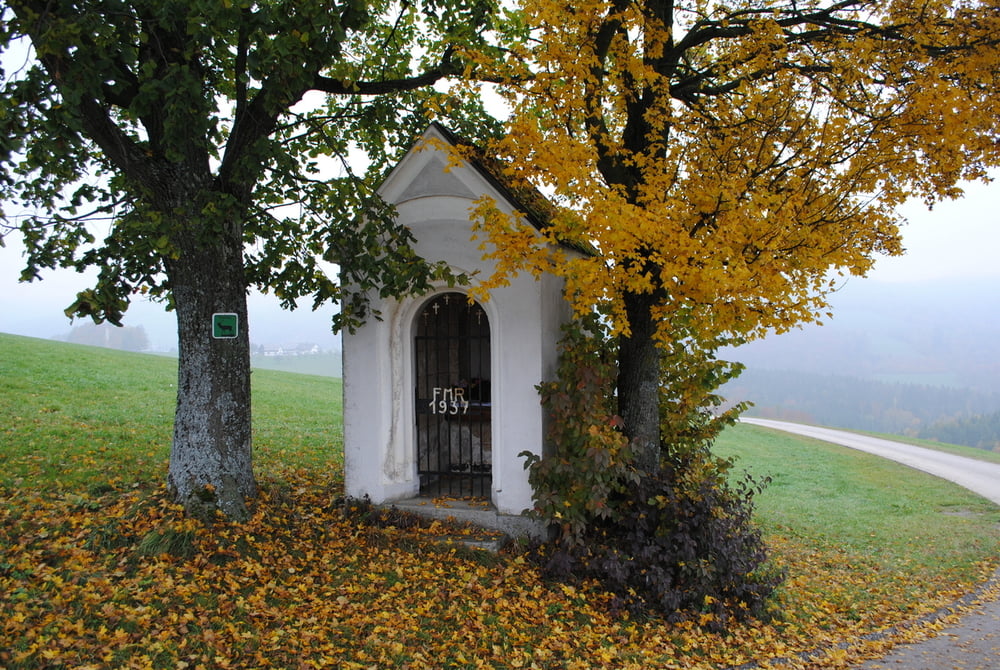
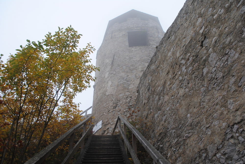
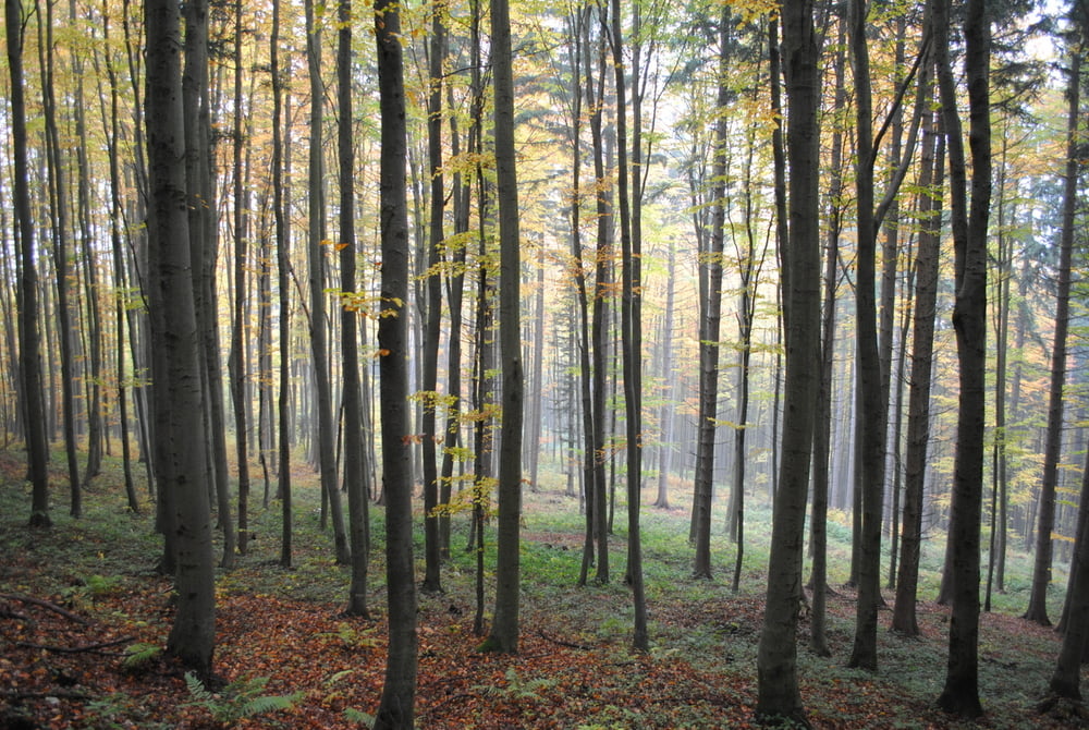
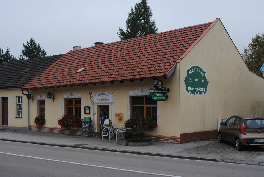
Beginn Parkplatz beim GH "Am Gerichtsberg".Alles auf Forstrassen ,rot markiert,an schönen Gehöften vorbei,durch roten ,goldenen und braunen Laubwald bis zur Burgruine.Leider war das Wetter sehr schlecht,keine Fernsicht und starker Nebel.Hinauf bis zur Aussichtsplattform des Burgfrieds.Leider nur altes Gemäuer (auch nicht schlecht)aber Sicht leider Null.Unter uns die bunten ,vom Herbst gefärbten,Laubwälder die wir leider nicht sehen konnten.Zurück gleiche Route,aber als Entschädigung am Tourende "Wildwochen im GH Am Gerichtsberg" ,direkt beim Parkplatz.
Further information at
http://www.triesting-goelsentalradweg.at/angebote/gastronomie/gasthaus-am-gerichtsberg.htmlTour gallery
Tour map and elevation profile
Minimum height 517 m
Maximum height 826 m
More about the tour author
|
|
LeoCheops |
Comments

GPS tracks
Trackpoints-
GPX / Garmin Map Source (gpx) download
-
TCX / Garmin Training Center® (tcx) download
-
CRS / Garmin Training Center® (crs) download
-
Google Earth (kml) download
-
G7ToWin (g7t) download
-
TTQV (trk) download
-
Overlay (ovl) download
-
Fugawi (txt) download
-
Kompass (DAV) Track (tk) download
-
Track data sheet (pdf) download
-
Original file of the author (gpx) download
More about the tour author
|
|
LeoCheops |
Add to my favorites
Remove from my favorites
Edit tags
Open track
My score
Rate