Login

Forgotten password?

Cookies have to be accepted!
Your browser's cookie functionality is disabled. Please enable this functionality.

Not a member yet?

Register now
Login

Available for registred users only

Log in to use this feature.

Forgotten password?

Cookies have to be accepted!
Your browser's cookie functionality is disabled. Please enable this functionality.

Not a member yet?

Register now
Filter
Categories
Advanced filters
  • Distance (km)
  • Height
Save filters Reset filter

TrackRank

QRCode

Technical data

Distance14,6 km Height363 m Way down368 m Duration03:30 h:m Date27.10.2012
Scores Author Landscape Fun factor Fitness Technique

Statistics

848 Views 1 Score 80 Downloads 5.00 Average
Rate
  • Track data sheet
  • Directions
  • Downloads

Tour 10 des Wanderführers "Bergisches Land" aus dem Rother Bergverlag. Ich habe die Tour etwas verlängert (ca. 2km).

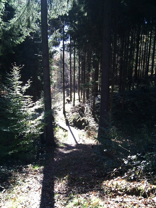
Die Landschaft ist super, abwechslungreich und absolut enmpfehlenswert. Die Tour gehört zu den schönsten, die ich in dieser Gegend gemacht habe.

Ein bisschen Trittsicherheit und Kondition ist nicht von Nachteil, da einige Wege zwar nicht unbedingt abschüssig, aber dennoch mit vielen größeren Steinen und Wurzeln versehen sind.


Tour gallery

Tour map and elevation profile

  • Open Street Map
  • Google
Minimum height 183 m Maximum height 304 m Detailed view

More about the tour author

TobyDean
Member since 2011

Send private message

Comments

Parken kann man wunderbar auf dem Wanderparkplatz hinter der Gaststätte Eifgen. EInfach an dem Lokal rechts vorbei fahren.


GPS tracks

Trackpoints
  • GPX / Garmin Map Source (gpx) download
  • TCX / Garmin Training Center® (tcx) download
  • CRS / Garmin Training Center® (crs) download
  • Google Earth (kml) download
  • G7ToWin (g7t) download
  • TTQV (trk) download
  • Overlay (ovl) download
  • Fugawi (txt) download
  • Kompass (DAV) Track (tk) download
  • Track data sheet (pdf) download
  • Original file of the author (gpx) download

More about the tour author

TobyDean
Member since 2011

Send private message
Share track
Add to my favorites
Remove from my favorites
Edit tags
My score
Rate
Track: Von Wermelskirchen ins Tal der Kleinen Dhünn
Type: Hiking
Distance: 14,6 km
Evaluated on:
Duration:
Day(s)
Hour(s)
Minute(s)
Score: Landscape Fun factor Fitness Technique