Login

Forgot your login?

Cookies have to be accepted!
Your browser's cookie functionality is disabled. Please enable this functionality.

Not a member yet?

Register now
Login

Available for registred users only

Log in to use this feature.

Forgot your login?

Cookies have to be accepted!
Your browser's cookie functionality is disabled. Please enable this functionality.

Not a member yet?

Register now
Filter
Categories
Advanced filters
  • Distance (km)
  • Height
Save filters Reset filter

TrackRank

QRCode

Technical data

Distance8,2 km Height162 m Way down70 m Duration02:10 h:m Date01.11.2012
Scores Author Landscape Fun factor Fitness Technique

Statistics

324 Views Scores 26 Downloads Average
Rate
  • Track data sheet
  • Directions
  • Downloads

Ausgangspunkt das Hotel Logis de France Castel Mouisson, Chemin sous les Roches 

13570 Barbentane

N43 53.851 E4 45.911
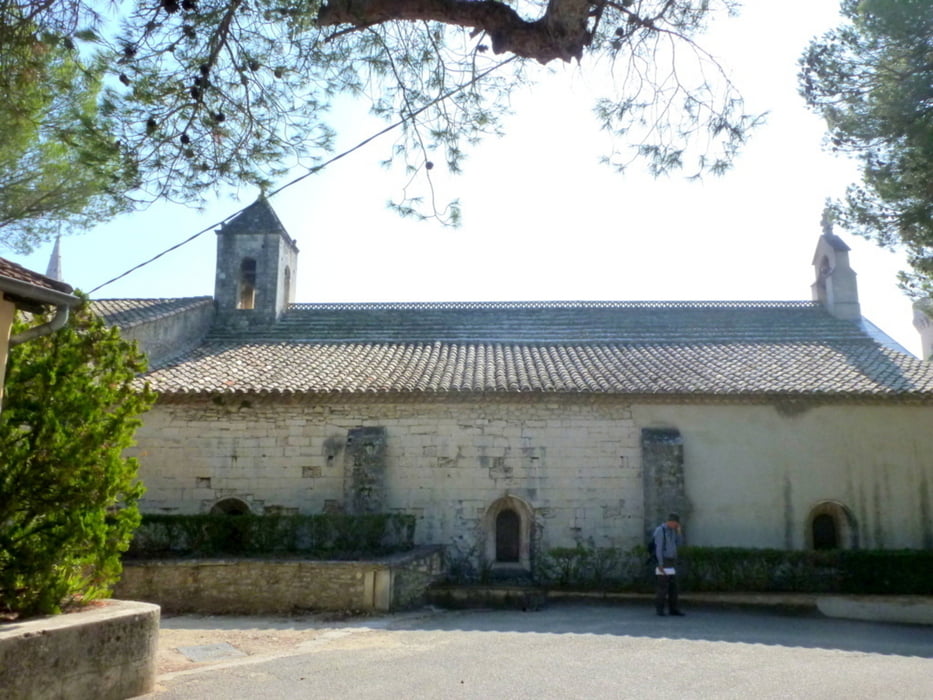
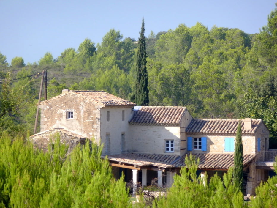
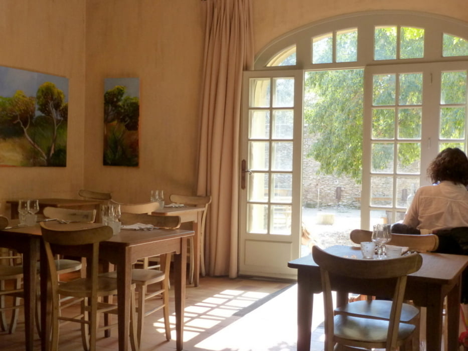


Tour gallery

Tour map and elevation profile

  • Open Street Map
  • Google
Minimum height 20 m Maximum height 129 m Detailed view

More about the tour author

horst1508
Member since 2012

Send private message

Comments

Anfahrt vom Bahnhof Avignon mit dem Taxi in circa 20 Minuten

GPS tracks

Trackpoints
  • GPX / Garmin Map Source (gpx) download
  • TCX / Garmin Training Center® (tcx) download
  • CRS / Garmin Training Center® (crs) download
  • Google Earth (kml) download
  • G7ToWin (g7t) download
  • TTQV (trk) download
  • Overlay (ovl) download
  • Fugawi (txt) download
  • Kompass (DAV) Track (tk) download
  • Track data sheet (pdf) download
  • Original file of the author (gpx) download

More about the tour author

horst1508
Member since 2012

Send private message
Share track
Add to my favorites
Remove from my favorites
Edit tags
My score
Rate
Track: Barbentane bis Abbaye de Saint- Michel de Frigolet
Type: Hiking
Distance: 8,2 km
Evaluated on:
Duration:
Day(s)
Hour(s)
Minute(s)
Score: Landscape Fun factor Fitness Technique