Login

Forgot your login?

Cookies have to be accepted!
Your browser's cookie functionality is disabled. Please enable this functionality.

Not a member yet?

Register now
Login

Available for registred users only

Log in to use this feature.

Forgot your login?

Cookies have to be accepted!
Your browser's cookie functionality is disabled. Please enable this functionality.

Not a member yet?

Register now
Filter
Categories
Advanced filters
  • Distance (km)
  • Height
Save filters Reset filter

TrackRank

QRCode

Technical data

Distance10,2 km Height189 m Way down182 m Duration03:30 h:m Date26.11.2012
Scores Author Landscape Fun factor Fitness Technique

Statistics

135 Views Scores 3 Downloads Average
Rate
  • Track data sheet
  • Directions
  • Downloads

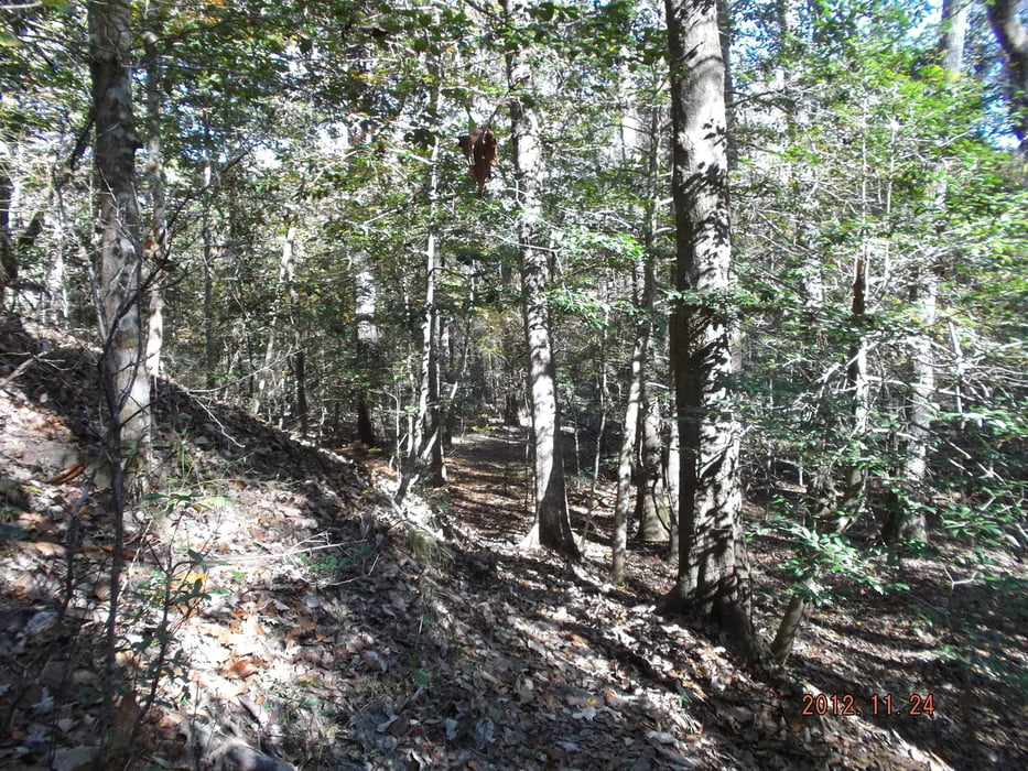
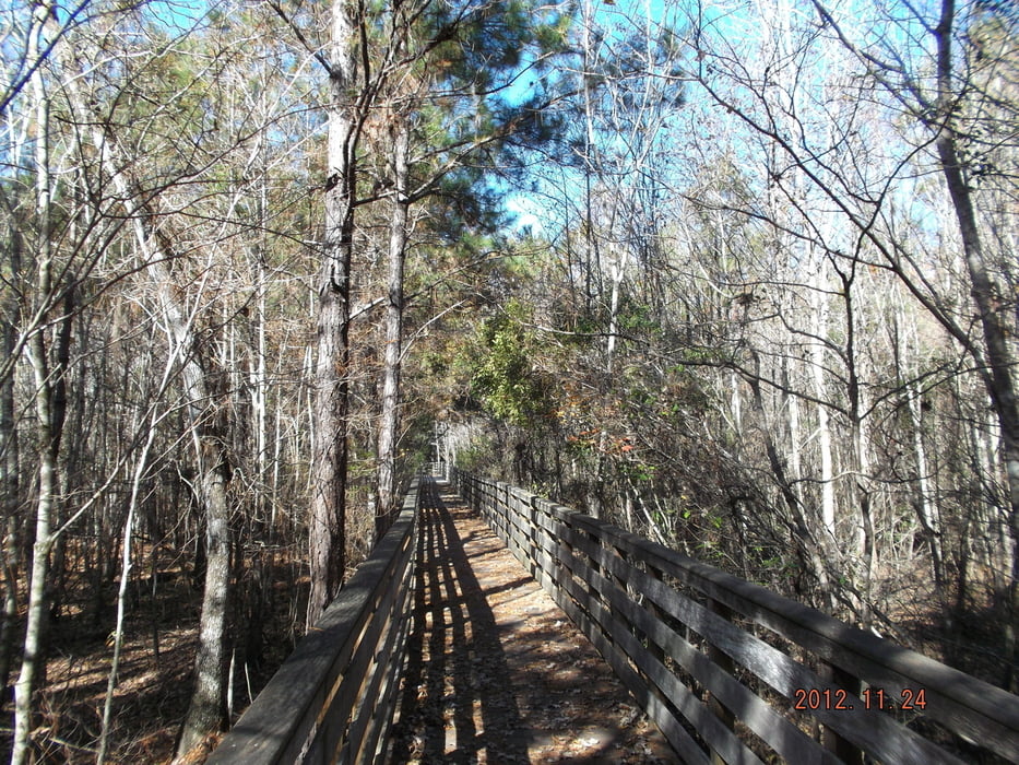
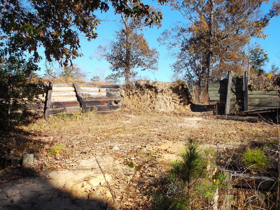
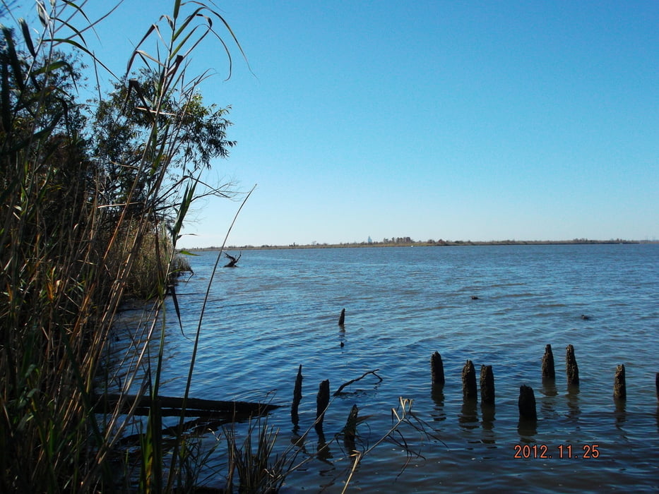
Nice and easy hiking tour near the historical battle field on the various hiking trails through the forrest of the park.

Use the broadwalks with precaution, some of them are in bad condition.

Tour gallery

Tour map and elevation profile

  • Open Street Map
  • Google
Minimum height -4 m Maximum height 55 m Detailed view

More about the tour author

erwin417
Member since 2009

Send private message

Comments

From Mobile on I-10 or US-90 until Spanish Fort, drive US-225 north for about 4,5 miles to the park entrance on the left

GPS tracks

Trackpoints
  • GPX / Garmin Map Source (gpx) download
  • TCX / Garmin Training Center® (tcx) download
  • CRS / Garmin Training Center® (crs) download
  • Google Earth (kml) download
  • G7ToWin (g7t) download
  • TTQV (trk) download
  • Overlay (ovl) download
  • Fugawi (txt) download
  • Kompass (DAV) Track (tk) download
  • Track data sheet (pdf) download
  • Original file of the author (gpx) download

More about the tour author

erwin417
Member since 2009

Send private message
Share track
Add to my favorites
Remove from my favorites
Edit tags
My score
Rate
Track: Blakeley State Park
Type: Hiking
Distance: 10,2 km
Evaluated on:
Duration:
Day(s)
Hour(s)
Minute(s)
Score: Landscape Fun factor Fitness Technique