Login

Forgot your login?

Cookies have to be accepted!
Your browser's cookie functionality is disabled. Please enable this functionality.

Not a member yet?

Register now
Login

Available for registred users only

Log in to use this feature.

Forgot your login?

Cookies have to be accepted!
Your browser's cookie functionality is disabled. Please enable this functionality.

Not a member yet?

Register now
Filter
Categories
Advanced filters
  • Distance (km)
  • Height
Save filters Reset filter

TrackRank

QRCode

Technical data

Distance135,8 km Height2858 m Way down2706 m Duration00:00 h:m Date29.12.2012
Scores Author Landscape Fun factor Fitness Technique

Statistics

2209 Views 1 Score 127 Downloads 1.00 Average
Rate
  • Track data sheet
  • Directions
  • Downloads
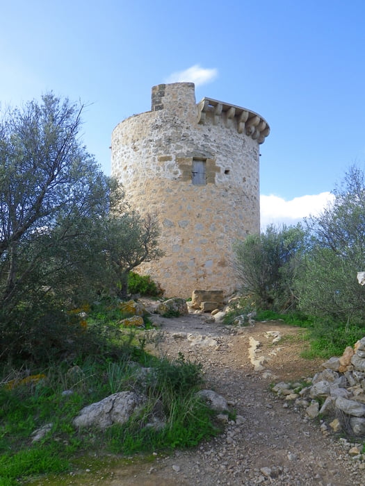
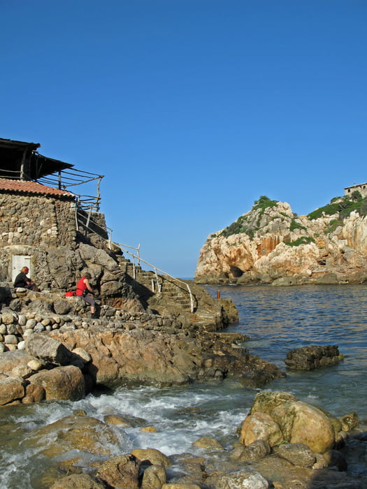
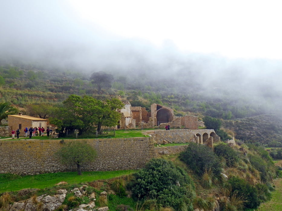
Es handelt sich hier um verschiedene Tagesausflüge. Basislager war Paguera. Man kann einige Touren dierekt ab Paguera zu Fuß machen, für andere muss man mit dem Auto oder dem Bus zu den Ausganspunkten der Wanderung fahren.

Further information at

http://www.airberlin.com/site/start.php?LANG=deu&MARKT=DE

Tour gallery

Tour map and elevation profile

  • Open Street Map
  • Google
Minimum height -18 m Maximum height 533 m Detailed view

More about the tour author

Baron_Boris
Member since 2011

Send private message

Comments

Z. B. mit dem Flugzeug bis Palma und von dort mit dem Auto oder Bus nach Paguera.


GPS tracks

Trackpoints
  • GPX / Garmin Map Source (gpx) download
  • TCX / Garmin Training Center® (tcx) download
  • CRS / Garmin Training Center® (crs) download
  • Google Earth (kml) download
  • G7ToWin (g7t) download
  • TTQV (trk) download
  • Overlay (ovl) download
  • Fugawi (txt) download
  • Kompass (DAV) Track (tk) download
  • Track data sheet (pdf) download
  • Original file of the author (gpx) download

More about the tour author

Baron_Boris
Member since 2011

Send private message
Share track
Add to my favorites
Remove from my favorites
Edit tags
My score
Rate
Track: Touren bei Paguera, im Westen und Nordwesten von Mallorca
Type: Hiking
Distance: 135,8 km
Evaluated on:
Duration:
Day(s)
Hour(s)
Minute(s)
Score: Landscape Fun factor Fitness Technique