Login

Forgot your login?

Cookies have to be accepted!
Your browser's cookie functionality is disabled. Please enable this functionality.

Not a member yet?

Register now
Login

Available for registred users only

Log in to use this feature.

Forgot your login?

Cookies have to be accepted!
Your browser's cookie functionality is disabled. Please enable this functionality.

Not a member yet?

Register now
Filter
Categories
Advanced filters
  • Distance (km)
  • Height
Save filters Reset filter

TrackRank

QRCode

Technical data

Distance12,1 km Height326 m Way down349 m Duration03:15 h:m Date13.01.2013
Scores Author Landscape Fun factor Fitness Technique

Statistics

573 Views Scores 73 Downloads Average
Rate
  • Track data sheet
  • Directions
  • Downloads

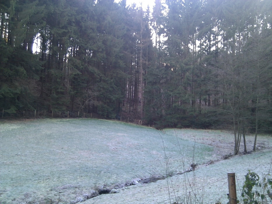
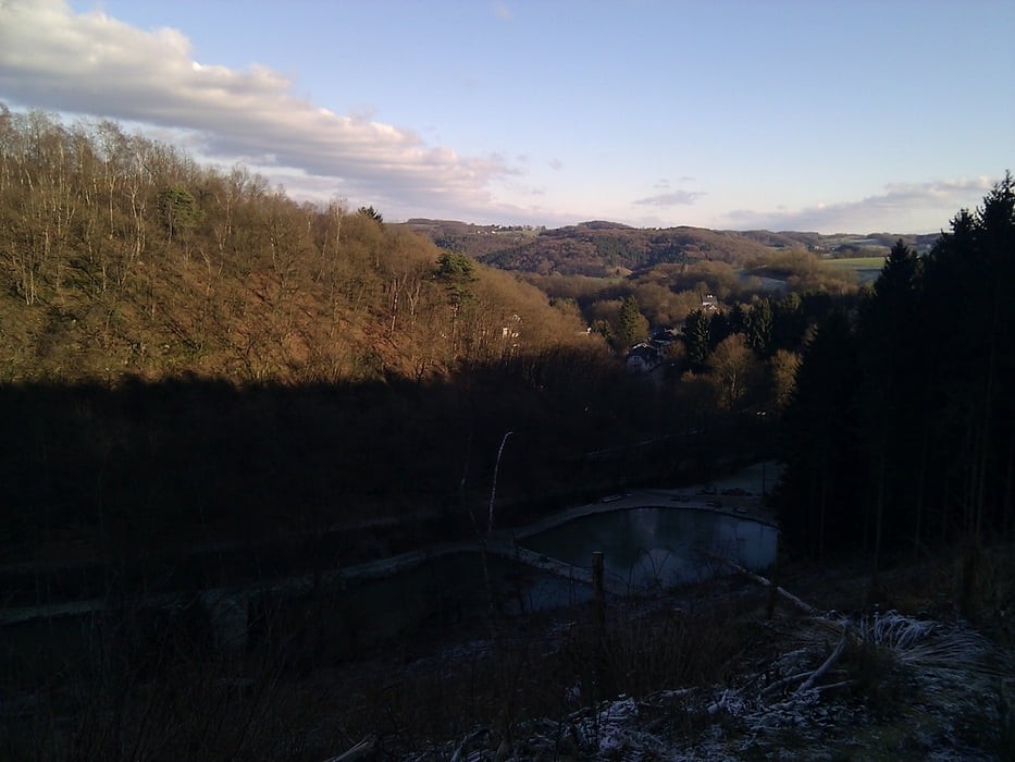
Eine sehr schöne Wanderung aus dem Rother Wanderführer "Bergisches Land" (Tour 19). Die Landschaft wechselt zwischen tollen Ausblicken über das Tal bishin zu kleinen Dörfchen einzelnen Siedlungen und viel Wald. Eine sehr zu empfehlende Wanderung auf der einem nette, freundliche Menschen begegnen.


Tour gallery

Tour map and elevation profile

  • Open Street Map
  • Google
Minimum height 45 m Maximum height 247 m Detailed view

More about the tour author

TobyDean
Member since 2011

Send private message

Comments

Parken kann man, zumindest außerhalb der Saison, auf dem Parkplatz des Freibades in Hoffnungsthal. Man sollte von der Autobahn kommend immer schon auf die Hinweisschilder zum Parkplatz Freibad achten, da man sie schnell übersehen kann.


GPS tracks

Trackpoints
  • GPX / Garmin Map Source (gpx) download
  • TCX / Garmin Training Center® (tcx) download
  • CRS / Garmin Training Center® (crs) download
  • Google Earth (kml) download
  • G7ToWin (g7t) download
  • TTQV (trk) download
  • Overlay (ovl) download
  • Fugawi (txt) download
  • Kompass (DAV) Track (tk) download
  • Track data sheet (pdf) download
  • Original file of the author (gpx) download

More about the tour author

TobyDean
Member since 2011

Send private message
Share track
Add to my favorites
Remove from my favorites
Edit tags
My score
Rate
Track: Von Hoffnungsthal über den Lüderich nach Jexmühle
Type: Hiking
Distance: 12,1 km
Evaluated on:
Duration:
Day(s)
Hour(s)
Minute(s)
Score: Landscape Fun factor Fitness Technique