

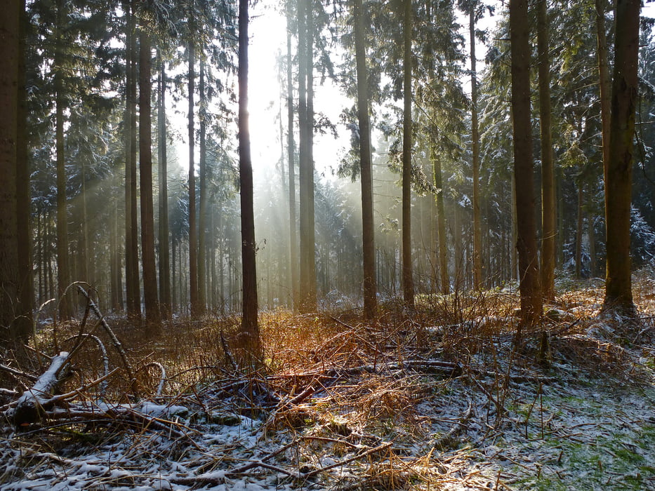

Eine kleine Runde durch den Wald bei Altenberg
Die GPS Strecke dient eigetnlich mehr der Dokumentation als zum Nachwandern, weil teilweise entwas chaotisch verlaufend.
Further information at
http://elkebitzer.wordpress.com/2013/02/09/weises-odenthal/Tour gallery
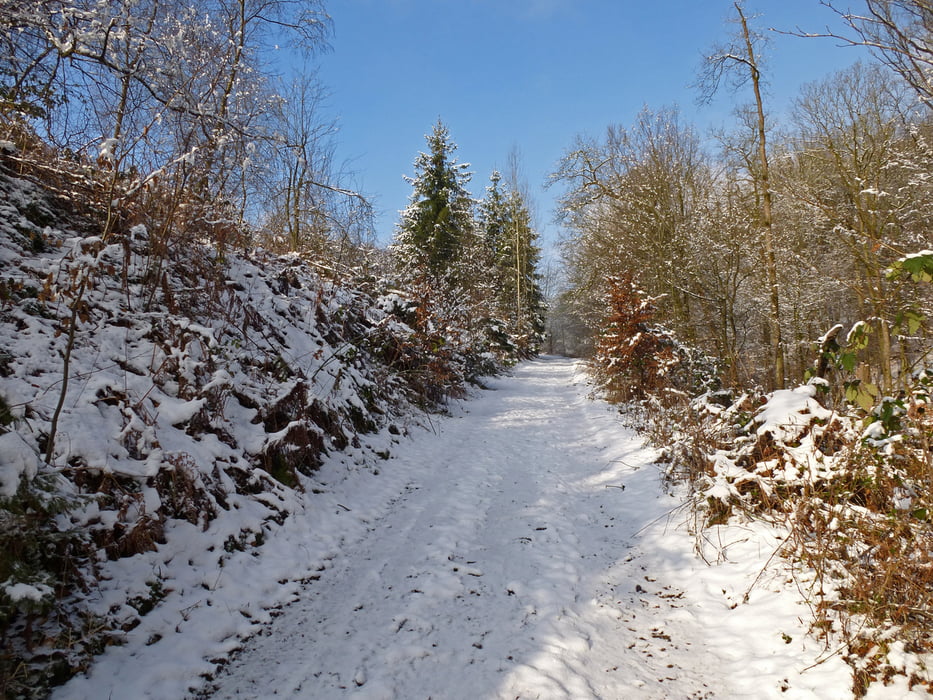
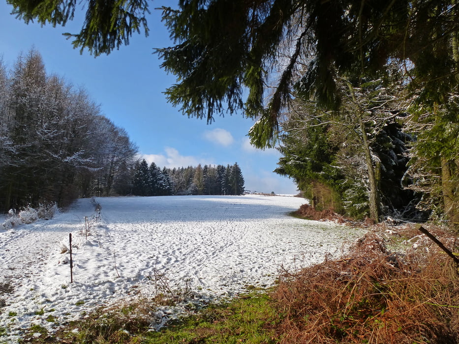
Tour map and elevation profile
Minimum height 34 m
Maximum height 214 m
More about the tour author
|
|
Rennschnuckel |
Comments

More about the tour author
|
|
Rennschnuckel |
Add to my favorites
Remove from my favorites
Edit tags
Open track


My score
Rate