


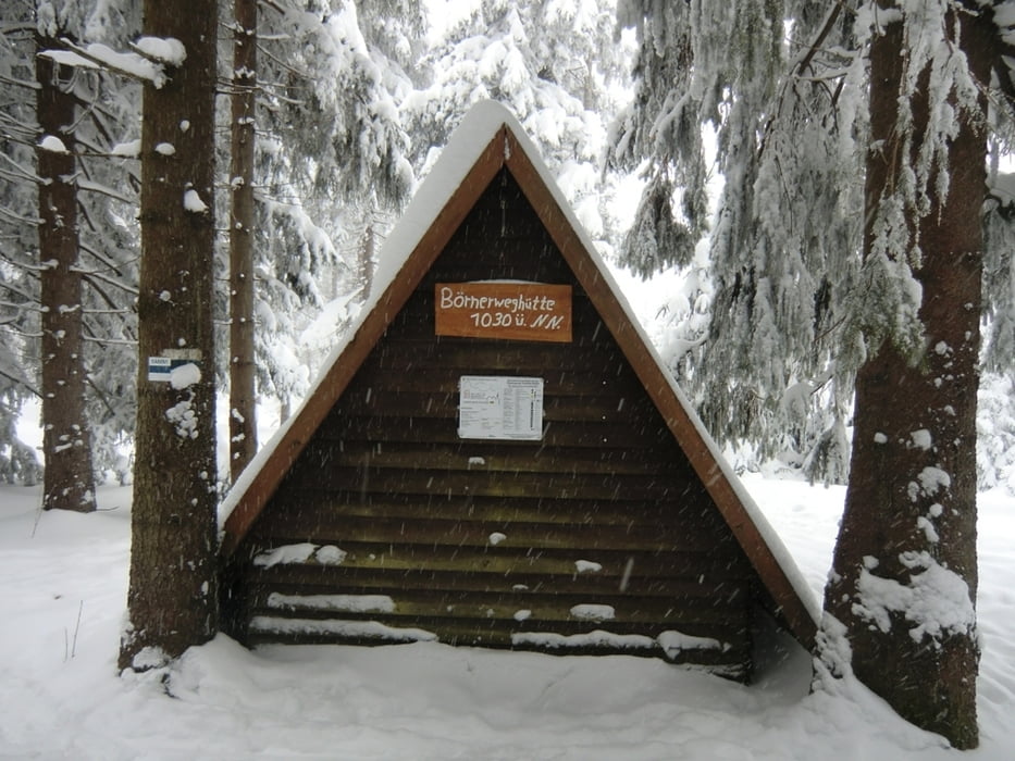
Wir fahren mit dem Stadtbus vom Marktplatz in Oberwiesenthal zur Skiarena/Loipenparkplatz. Wir folgen nun der Ausschilderung links Richtung Tellerhäuser und überqueren nach 2 km die S271 zum Deutschen Gehau. Nach 1km erreichen wir die Schützhütte Hubertky (Anschluss Skimagistrale/Loipennetz Bozi Dar).
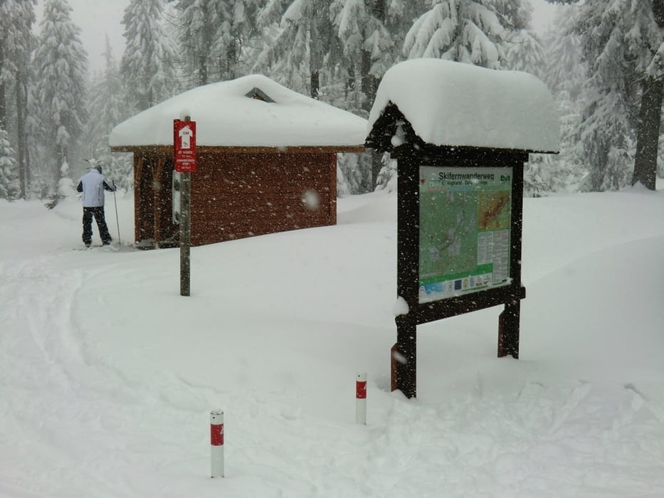
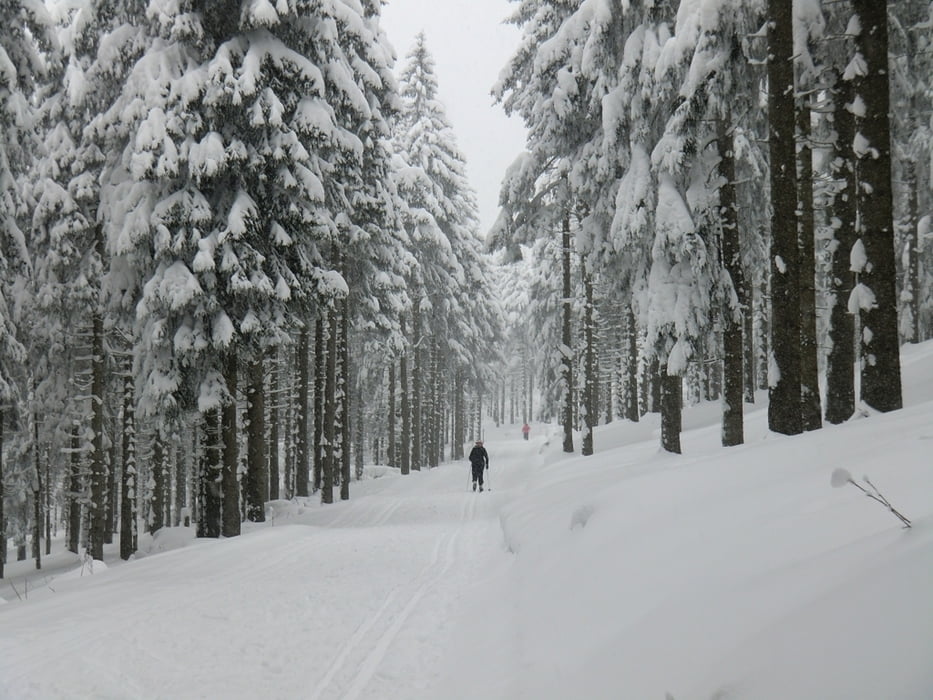
Nach einer leichten Abfahrt gelangt man nach Tellerhäuser, wo es am Grenzhang quer über die Wiese in leichter bis mittelschwerer Abfahrt bergab geht. Im kleinen Ort Tellerhäuser bestehen diverse Einkehrmöglichkeiten sowie ein Parkplatz zum Loipeneinstieg.
Beim sogenannten großen Parkplatz wird die S271 überquert und dann führt die Loipe den Friedhofsweg entlang bis zum Klöppelflügel.
Während der Skiwanderweg rechts auf identischer Strecke wie der Hinweg zurück nach Oberwiesenthal führt, gelangt man links zum Rotes Vorwerk . Von hier fahren wir über die Vierenstraße zum Oberwiesenthal Loipentor 1. Die Gesamtlänge ab Oberwiesenthal Marktplatz beträgt 19 km.
Tour gallery
Tour map and elevation profile
Minimum height 902 m
Maximum height 1125 m
More about the tour author
|
|
Bikepaul_Jork |
Comments

Oberwiesenthal Marktplatz
GPS tracks
Trackpoints-
GPX / Garmin Map Source (gpx) download
-
TCX / Garmin Training Center® (tcx) download
-
CRS / Garmin Training Center® (crs) download
-
Google Earth (kml) download
-
G7ToWin (g7t) download
-
TTQV (trk) download
-
Overlay (ovl) download
-
Fugawi (txt) download
-
Kompass (DAV) Track (tk) download
-
Track data sheet (pdf) download
-
Original file of the author (gpx) download
More about the tour author
|
|
Bikepaul_Jork |
Add to my favorites
Remove from my favorites
Edit tags
Open track
My score
Rate