
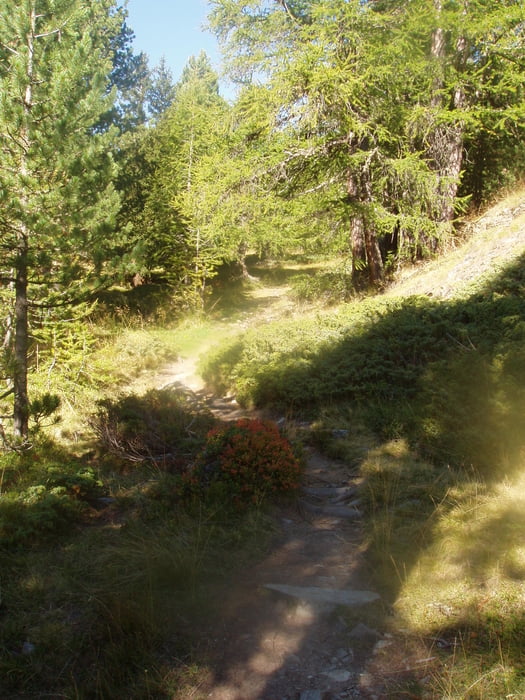

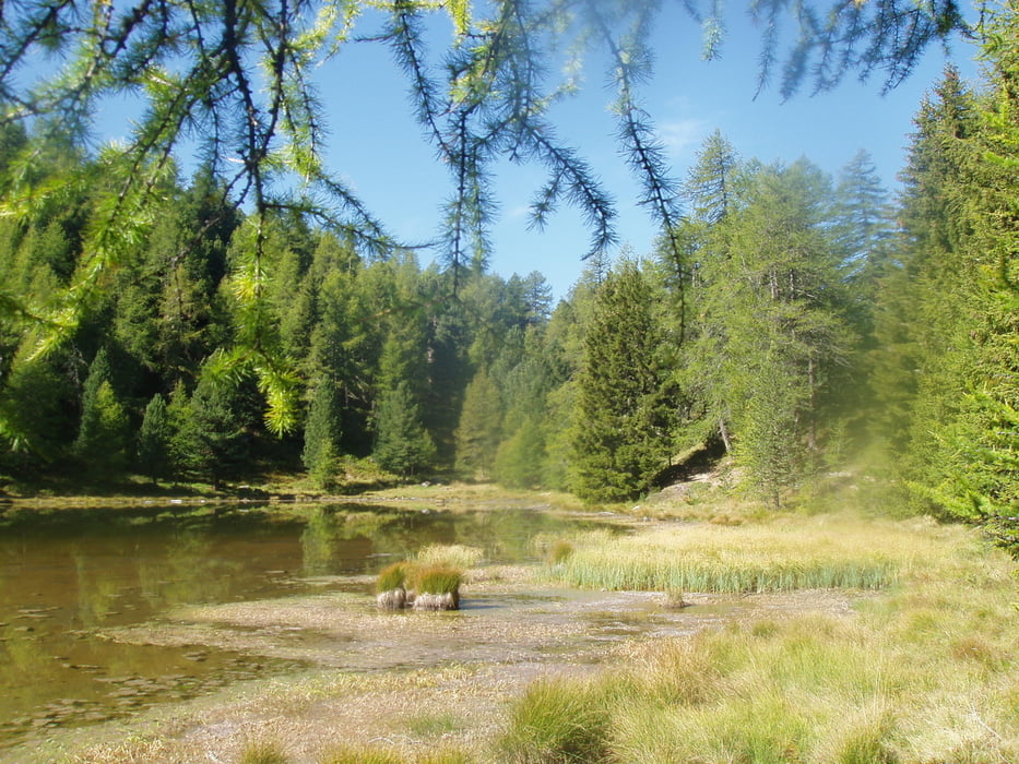
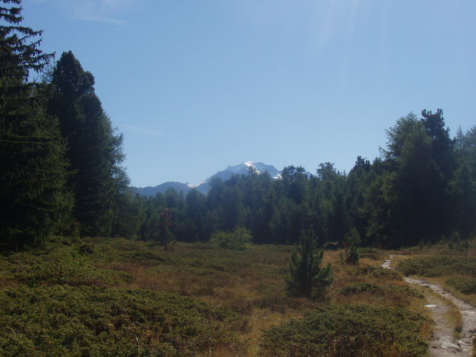
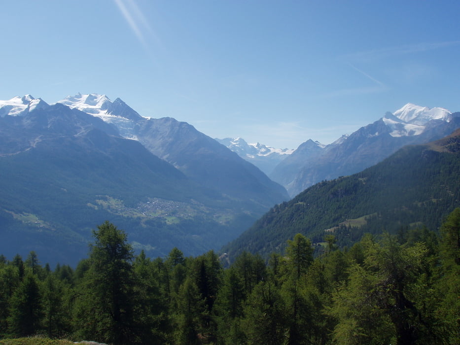
Die Zufahrt zur Moosalb ist lang und über eine gute, aber teilweise sehr schmalen Straße zu erreichen. Wir als Flachländner haben den Wagen in der Tiefgarage am Bahnhof in Stalden abgestellt und sind mit dem Bus hinauf gefahren. Wir sind gegen den Urzeigersinn gelaufen. Start war das Bergrestaurant Moosalb. Vorbei an der Breitmatte und dem Breitmattenseeund kamen wir zum Borniger See. Von hier ging es zum Stand hoch wo wir eine wunderbare Rundumsicht hatten. .Wiederum am Borniger See vorbei ging es zurück zum Ausgangspunkt. Im Bergrestaurant Moosalb, dass die Auszeichnung eines der besten Bergrestaurants der Schweiz hat, gab es ein verdientes Essen. Mit dem Bus ging es zurück nach Stalden.
Tour gallery
Tour map and elevation profile
Minimum height 1984 m
Maximum height 2118 m
More about the tour author

|
civap |
Comments

Von Stalden Richtung Tröbel fahren(Tröbelstraße). Auf der Staße weiter bis zur Moosalb fahren.
Besser ist den Wagen am Bahnhof Stalden abstellen und den Bus nehmen.
46.251292, 7.829472
+46° 15' 4.65", +7° 49' 46.10
Bergrestaurant Moosalpmehr
3923 Törbel
Schweiz
GPS tracks
Trackpoints-
GPX / Garmin Map Source (gpx) download
-
TCX / Garmin Training Center® (tcx) download
-
CRS / Garmin Training Center® (crs) download
-
Google Earth (kml) download
-
G7ToWin (g7t) download
-
TTQV (trk) download
-
Overlay (ovl) download
-
Fugawi (txt) download
-
Kompass (DAV) Track (tk) download
-
Track data sheet (pdf) download
-
Original file of the author (gpx) download
More about the tour author
|
|
civap |
Add to my favorites
Remove from my favorites
Edit tags
Open track
My score
Rate