Login

Forgotten password?

Cookies have to be accepted!
Your browser's cookie functionality is disabled. Please enable this functionality.

Not a member yet?

Register now
Login

Available for registred users only

Log in to use this feature.

Forgotten password?

Cookies have to be accepted!
Your browser's cookie functionality is disabled. Please enable this functionality.

Not a member yet?

Register now
Filter
Categories
Advanced filters
  • Distance (km)
  • Height
Save filters Reset filter

TrackRank

QRCode

Technical data

Distance18,7 km Height298 m Way down290 m Duration00:00 h:m Date09.05.2013
Scores Author Landscape Fun factor Fitness Technique

Statistics

949 Views Scores 36 Downloads Average
Rate
  • Track data sheet
  • Directions
  • Downloads

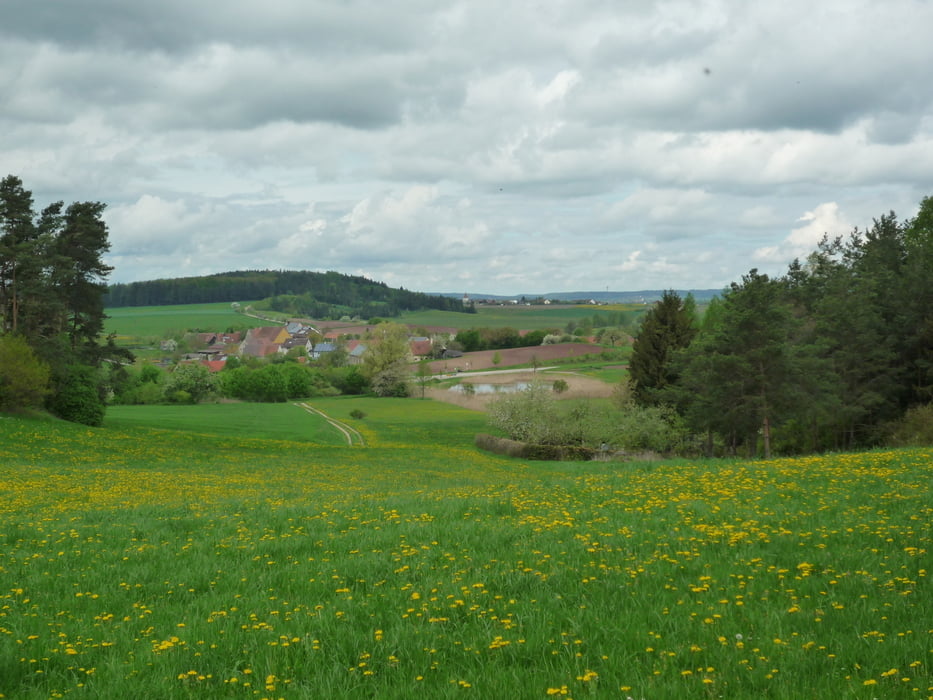
Rundwanderung im Naturpark Frankenhöhe

Start: Hürbel am Rangen ( Kreis Ansbach )

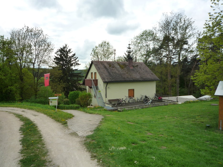
Einkehr- und Übernachtungsmöglichkeit für Mehrtageswanderungen besteht in der Gumbertushütte der Naturfreunde ( Öffnungszeiten beachten! ) .

http://www.gruppenhaus.de/naturfreundehaus-gumbertushuette-lehrberg-hs8725.html

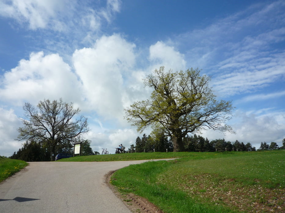
Sehnswert sind unter anderem auch die Kreuzeiche bei Hürbel und im Naturpark.

http://de.wikipedia.org/wiki/Kreuzeiche


Schöne Wanderung in eine noch nicht sehr "überlaufenen"  Region!


 Track bereinigt, gelaufen Mai 2013.


Viel Spaß!

Further information at

http://de.wikipedia.org/wiki/H%C3%BCrbel_am_Rangen

Tour gallery

Tour map and elevation profile

  • Open Street Map
  • Google
Minimum height 330 m Maximum height 517 m Detailed view

More about the tour author

FLU
Member since 2009

Send private message

Comments

GPS tracks

Trackpoints
  • GPX / Garmin Map Source (gpx) download
  • TCX / Garmin Training Center® (tcx) download
  • CRS / Garmin Training Center® (crs) download
  • Google Earth (kml) download
  • G7ToWin (g7t) download
  • TTQV (trk) download
  • Overlay (ovl) download
  • Fugawi (txt) download
  • Kompass (DAV) Track (tk) download
  • Track data sheet (pdf) download
  • Original file of the author (gpx) download

More about the tour author

FLU
Member since 2009

Send private message
Share track
Add to my favorites
Remove from my favorites
Edit tags
My score
Rate
Track: Naturpark Frankenhöhe bei Hürbel a. R.
Type: Hiking
Distance: 18,7 km
Evaluated on:
Duration:
Day(s)
Hour(s)
Minute(s)
Score: Landscape Fun factor Fitness Technique