Login

Forgotten password?

Cookies have to be accepted!
Your browser's cookie functionality is disabled. Please enable this functionality.

Not a member yet?

Register now
Login

Available for registred users only

Log in to use this feature.

Forgotten password?

Cookies have to be accepted!
Your browser's cookie functionality is disabled. Please enable this functionality.

Not a member yet?

Register now
Filter
Categories
Advanced filters
  • Distance (km)
  • Height
Save filters Reset filter

TrackRank

QRCode

Technical data

Distance58,1 km Height5163 m Way down5333 m Duration00:00 h:m Date11.05.2013
Scores Author Landscape Fun factor Fitness Technique

Statistics

1069 Views Scores 104 Downloads Average
Rate
  • Track data sheet
  • Directions
  • Downloads

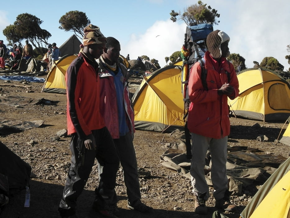
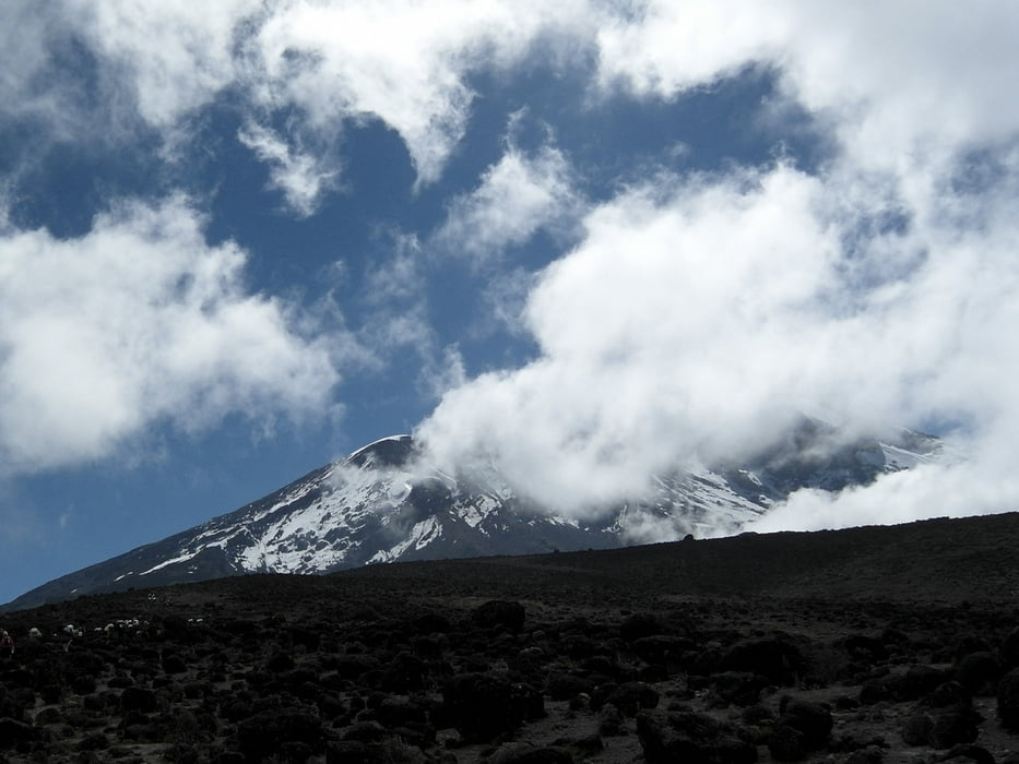
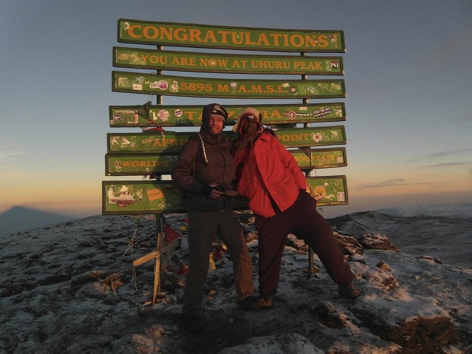
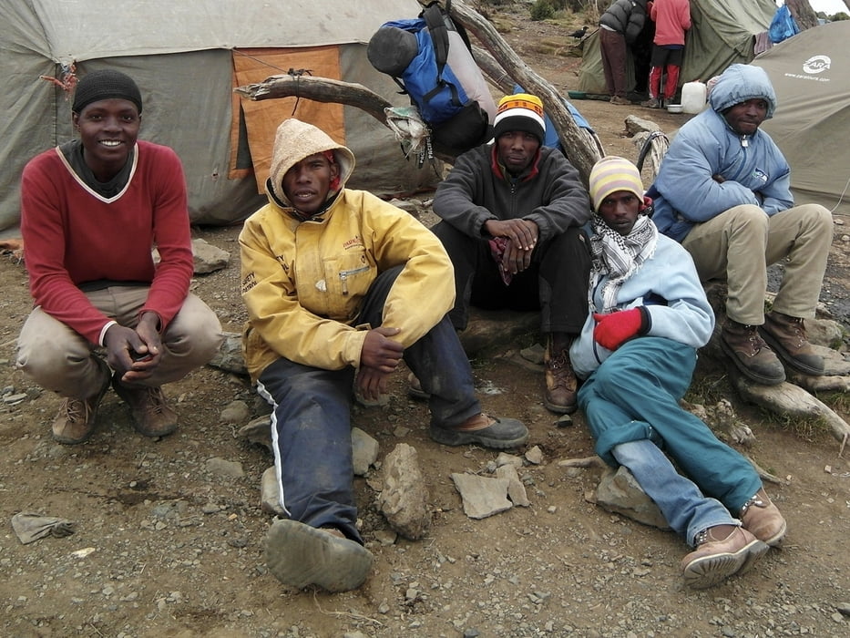
Die Besteigung der Kaiser-Wilhelm-Spitze erfolgte via Machame-Route, eine der schönsten Routen am Berg.


Tour gallery

Tour map and elevation profile

  • Open Street Map
  • Google
Minimum height 1627 m Maximum height 5891 m Detailed view

More about the tour author

Traubfred
Member since 2008

Send private message

Comments

mit dem Flugzeug, Schiff ist auch denkbar, zeitmäßig nur als Rentner zu empfehlen!


GPS tracks

Trackpoints
  • GPX / Garmin Map Source (gpx) download
  • TCX / Garmin Training Center® (tcx) download
  • CRS / Garmin Training Center® (crs) download
  • Google Earth (kml) download
  • G7ToWin (g7t) download
  • TTQV (trk) download
  • Overlay (ovl) download
  • Fugawi (txt) download
  • Kompass (DAV) Track (tk) download
  • Track data sheet (pdf) download
  • Original file of the author (gpx) download

More about the tour author

Traubfred
Member since 2008

Send private message
Share track
Add to my favorites
Remove from my favorites
Edit tags
My score
Rate
Track: Besteigung Kilimanjaro via Machame Route
Type: Transalp
Distance: 58,1 km
Evaluated on:
Duration:
Day(s)
Hour(s)
Minute(s)
Score: Landscape Fun factor Fitness Technique