


Von Ushguli westlich des Friedhofs dem Bergrücken folgen. Auf einen Vorgipfel folgt ein geringfügig höherer. Danach könnte man den Kamm noch lange weiter in Richtung Hauptkamm verolgen.
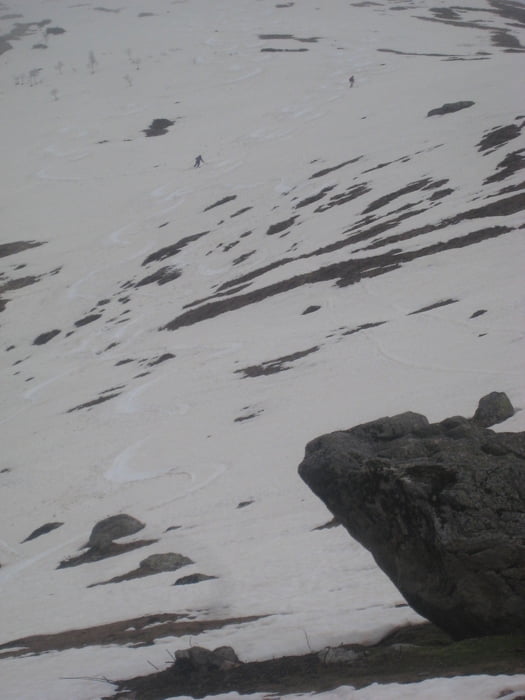
Ende April 2013 reichte der Schnee noch fast bis ins Dorf. Oberhalb 2900m standen wir aber leider im Nebel.
Der Gipfelname ist der russischen Militärkarte entnommen, keine Garantie für Korrektheit!
Further information at
http://www.hotelriho.com/Tour gallery


Tour map and elevation profile
Minimum height 2133 m
Maximum height 2980 m
More about the tour author

|
Gi |
Comments

Tiflis-Zugdidi-Mestia-Ushguli
Straße ab Mestia sehr schlecht, soll aber ausgebaut werden. 3.5h ab Mestia
GPS tracks
Trackpoints-
GPX / Garmin Map Source (gpx) download
-
TCX / Garmin Training Center® (tcx) download
-
CRS / Garmin Training Center® (crs) download
-
Google Earth (kml) download
-
G7ToWin (g7t) download
-
TTQV (trk) download
-
Overlay (ovl) download
-
Fugawi (txt) download
-
Kompass (DAV) Track (tk) download
-
Track data sheet (pdf) download
-
Original file of the author (gpx) download
More about the tour author
|
|
Gi |
Add to my favorites
Remove from my favorites
Edit tags
Open track
My score
Rate