


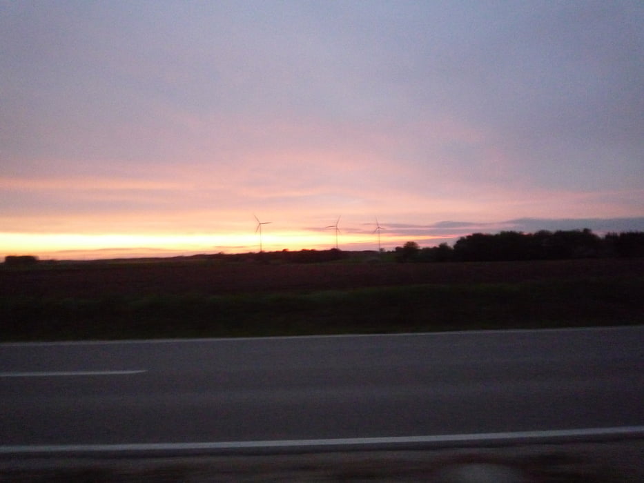
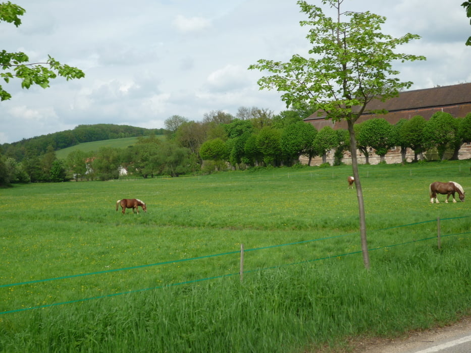
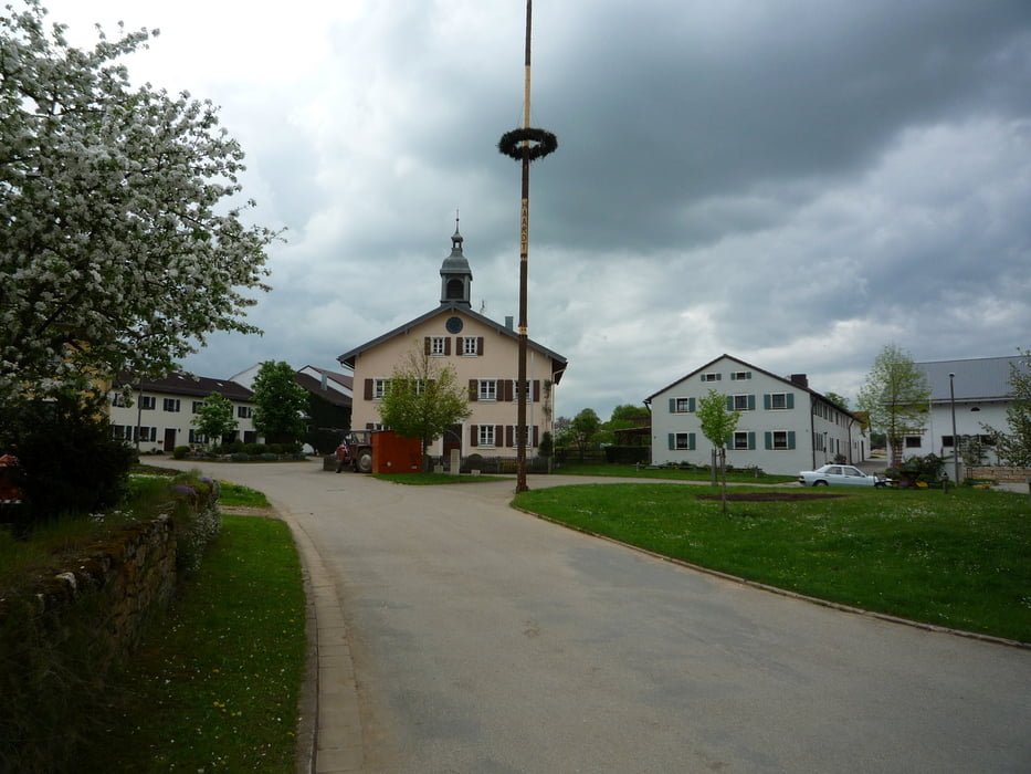
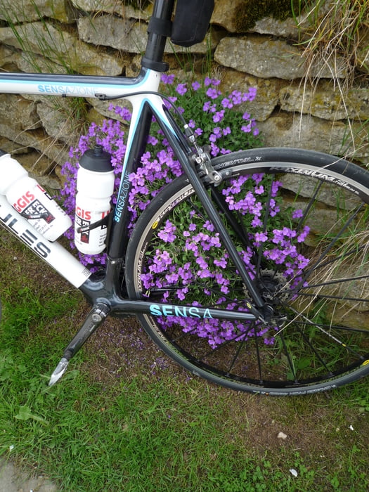
400 km Brevet ARA Osterdorf 2013
Strecke wie 2012 mit Änderungen!
Landschaftlich sehr schönen Stecke auf teils sehr ruhigen Straßen.
Einmal Rund um Nürnberg ;-)!
Further information at
http://www.randonneure.de/Tour gallery
Tour map and elevation profile
Minimum height 252 m
Maximum height 614 m
More about the tour author
|
|
FLU |
Comments

GPS tracks
Trackpoints-
GPX / Garmin Map Source (gpx) download
-
TCX / Garmin Training Center® (tcx) download
-
CRS / Garmin Training Center® (crs) download
-
Google Earth (kml) download
-
G7ToWin (g7t) download
-
TTQV (trk) download
-
Overlay (ovl) download
-
Fugawi (txt) download
-
Kompass (DAV) Track (tk) download
-
Track data sheet (pdf) download
-
Original file of the author (gpx) download
More about the tour author
|
|
FLU |
Add to my favorites
Remove from my favorites
Edit tags
Open track
My score
Rate