


Die Tour startet (nach Bahntransfer mit der Zillertalbahn von Stumm aus, Biketransport kostenlos) in Mayerhofen am Bahnhof.
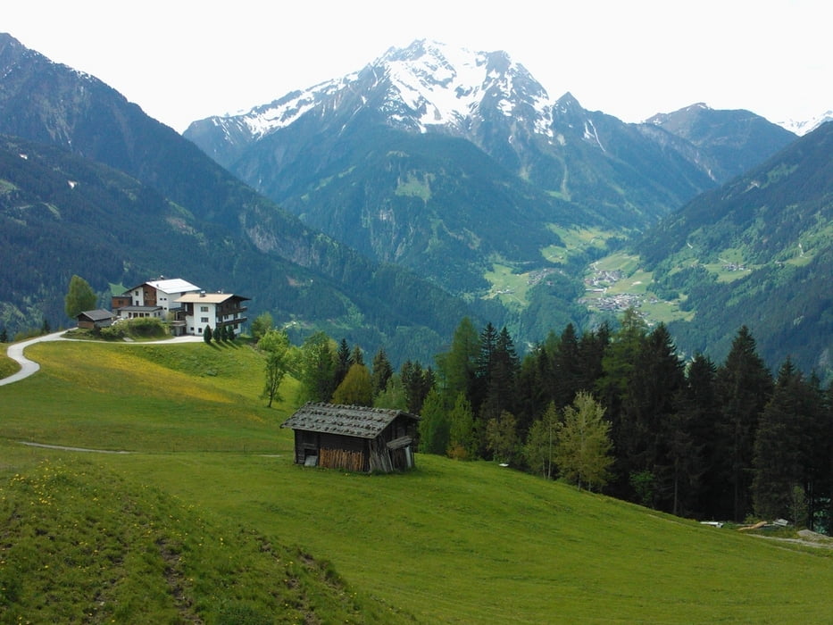
Erste Hälfte des Anstiegs auf den Brandberg bis zum gleichnamigen Ort auf Asphalt, ab dem Steinerkogel-Haus auf Forstrasse. Vorher kurze (!) Schiebepassage.
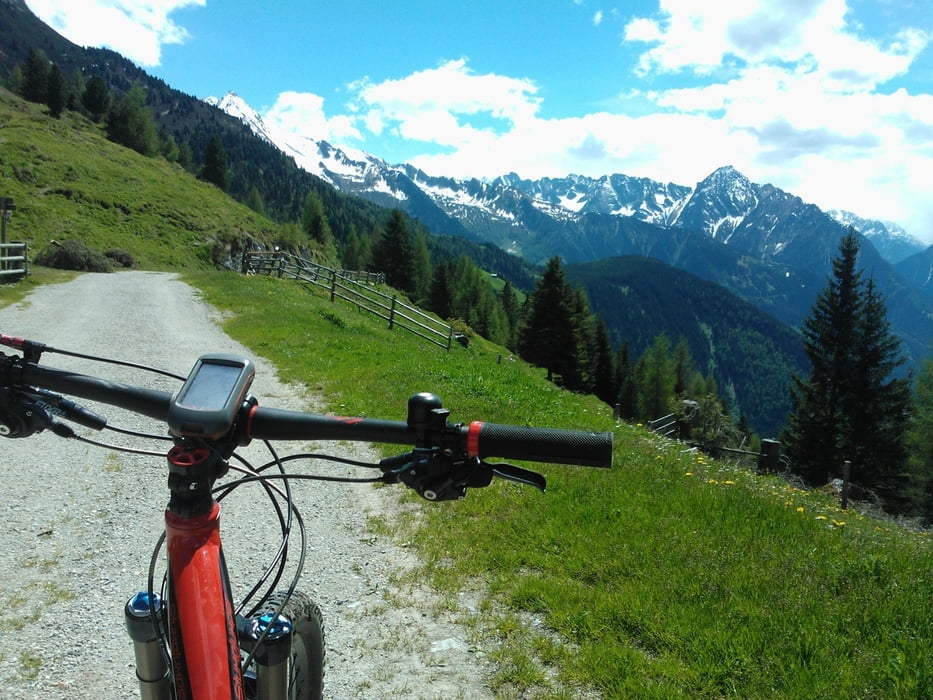
Oben angekommen (max. Höhe 1780 m) ab der Alm auf Bild 5 Wechsel auf technischen Singeltrail. Grandiose Aussichten auf das Zillertal und die Zillertaler Alpen! Von einige kurzen Schiebepassagen nicht abschrecken lassen, es lohnt sich.
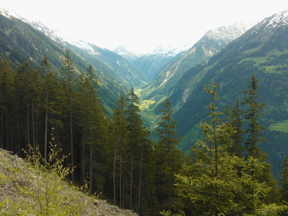
Anschließend rasante Abfahrt auf Schotter. Später wieder Wechsel auf Singeltrails und kurzer Gegenanstieg.
Von Ramsau lockeres Ausrollen auf dem Zillertalweg bis Stumm. Natürlich ist auch hier ein Bahntransfer möglich.
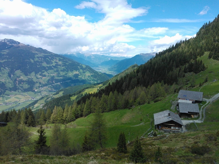
Bin die Tour am 21. Mai 2013 gefahren, da war nur das Steinerkogel-Haus geöffnet. Ab Anfang Juni sollten aber auch weitere Einkehrmöglichkeiten (Kotaalm / Gasthof Gerlosstein / Sonnalm) geöffnet haben.
Tour gallery
Tour map and elevation profile
Minimum height 564 m
Maximum height 1787 m
More about the tour author

|
hotchillyred |
Comments

Anfahrt mit der Zillertal-Bahn möglich. Kostenloser Biketransport.
Parkmöglichkeiten in Mayrhofen vorhanden. Besser etwas außerhalb parken.
GPS tracks
Trackpoints-
GPX / Garmin Map Source (gpx) download
-
TCX / Garmin Training Center® (tcx) download
-
CRS / Garmin Training Center® (crs) download
-
Google Earth (kml) download
-
G7ToWin (g7t) download
-
TTQV (trk) download
-
Overlay (ovl) download
-
Fugawi (txt) download
-
Kompass (DAV) Track (tk) download
-
Track data sheet (pdf) download
-
Original file of the author (gpx) download
More about the tour author
|
|
hotchillyred |
Add to my favorites
Remove from my favorites
Edit tags
Open track
My score
Rate