Login

Forgot your login?

Cookies have to be accepted!
Your browser's cookie functionality is disabled. Please enable this functionality.

Not a member yet?

Register now
Login

Available for registred users only

Log in to use this feature.

Forgot your login?

Cookies have to be accepted!
Your browser's cookie functionality is disabled. Please enable this functionality.

Not a member yet?

Register now
Filter
Categories
Advanced filters
  • Distance (km)
  • Height
Save filters Reset filter

TrackRank

QRCode

Technical data

Distance56,3 km Height102 m Way down101 m Duration00:00 h:m Date04.06.2013
Scores Author Landscape Fun factor Fitness Technique

Statistics

237 Views Scores 38 Downloads Average
Rate
  • Track data sheet
  • Directions
  • Downloads
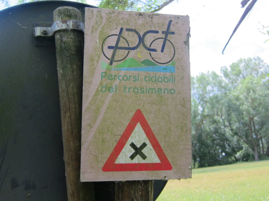
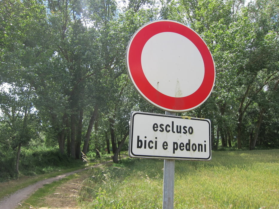
Rond om het meer van Trasimeno. Een groot deel op onverharde paden. Waarvan ook een deel 'singletracks'. Er is ook een deel wat oven asfalt gaat. Daar is een deel bij waar je auto's tegen gaat komen.

Tour gallery

Tour map and elevation profile

  • Open Street Map
  • Google
Minimum height 257 m Maximum height 294 m Detailed view

More about the tour author

roon
Member since 2008

Send private message

Comments

De start is bij Passignano sul Trasimeno

GPS tracks

Trackpoints
  • GPX / Garmin Map Source (gpx) download
  • TCX / Garmin Training Center® (tcx) download
  • CRS / Garmin Training Center® (crs) download
  • Google Earth (kml) download
  • G7ToWin (g7t) download
  • TTQV (trk) download
  • Overlay (ovl) download
  • Fugawi (txt) download
  • Kompass (DAV) Track (tk) download
  • Track data sheet (pdf) download
  • Original file of the author (gpx) download

More about the tour author

roon
Member since 2008

Send private message
Share track
Add to my favorites
Remove from my favorites
Edit tags
My score
Rate
Track: Trasimeno rond
Type: Bicycle tours
Distance: 56,3 km
Evaluated on:
Duration:
Day(s)
Hour(s)
Minute(s)
Score: Landscape Fun factor Fitness Technique