


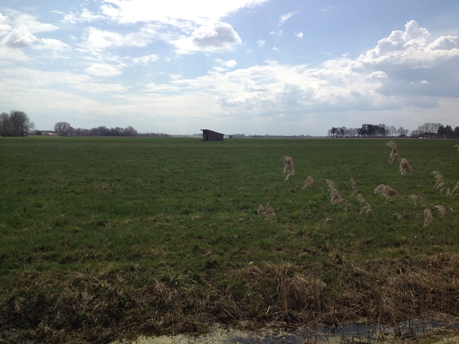
Ein Tour um das Erdinger Moos und das Holzland kennen zu lernen.
Unterwegs gibt es einige Picknick-Stationen mit Bank und Tisch, mit tollen Ausblicken bis nach München.
Ein Mountainbike sollte es schon sein. Nix für schmalbereifte Tourenbike-Radler, denn spätestens im Holzland gehts rund und ein wenig Bergabfahr-Technik ist teils gefragt.
Natürlich ist auch einigermaßen Kondition (wahlweise einfach nur Kraft, weils nicht lange hoch geht) nicht schlecht.
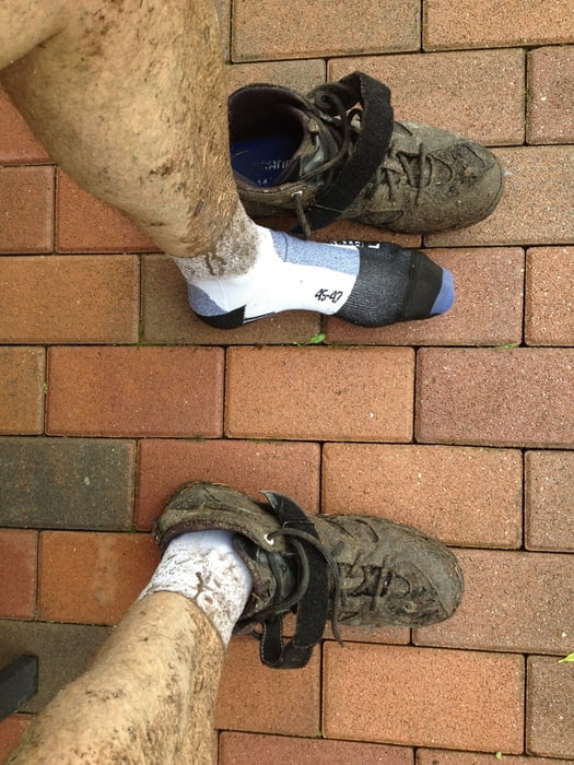
Mich hat's nach einer Kaffee-Kuchenpause in Thalheim mit Regen erwischt. Im Holzland im Regen durch den Wald macht auch Spaß und fordert nochmal die Kondition !!! bei schönen Wetter kanns jeder :-)
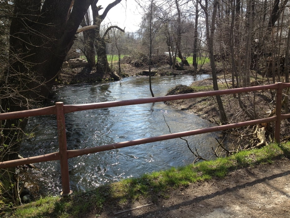
Wie an meinem Bild zu sehen, habe ich Teerstraßen soweit es ging vermieden.
Viel Spaß. Freu mich über Kommentare.
Tour gallery
Tour map and elevation profile
Minimum height 429 m
Maximum height 514 m
More about the tour author
|
|
seppfe |
Comments
GPS tracks
Trackpoints-
GPX / Garmin Map Source (gpx) download
-
TCX / Garmin Training Center® (tcx) download
-
CRS / Garmin Training Center® (crs) download
-
Google Earth (kml) download
-
G7ToWin (g7t) download
-
TTQV (trk) download
-
Overlay (ovl) download
-
Fugawi (txt) download
-
Kompass (DAV) Track (tk) download
-
Track data sheet (pdf) download
-
Original file of the author (gpx) download
More about the tour author
|
|
seppfe |
Add to my favorites
Remove from my favorites
Edit tags
Open track
My score
Rate
Tolle Tour
Zum Teil braucht man trotz Navi auch mal Pfadfinder-Fähigkeiten.
Das geht wirklich nur mit einem MTB und Kondition ist gefragt.