


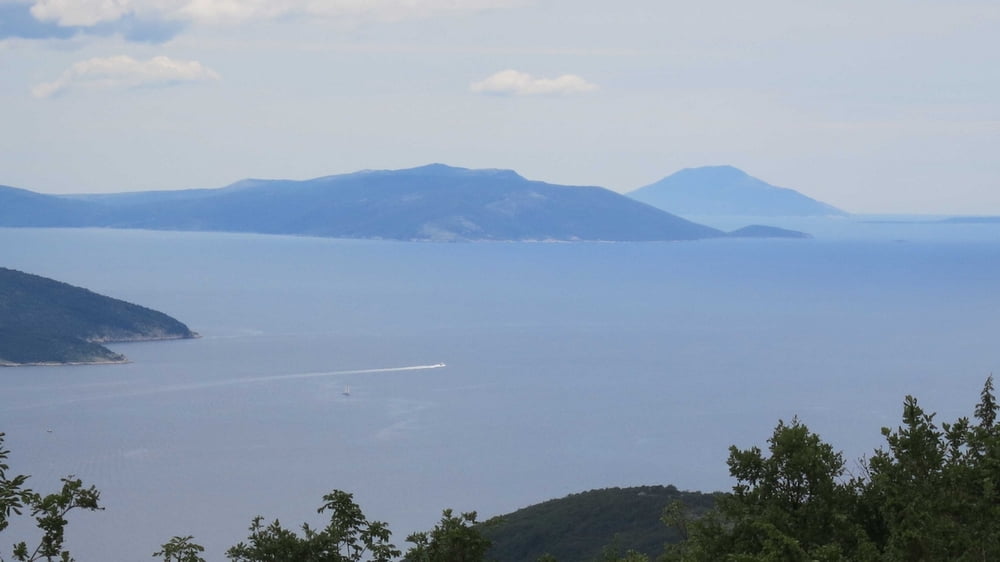
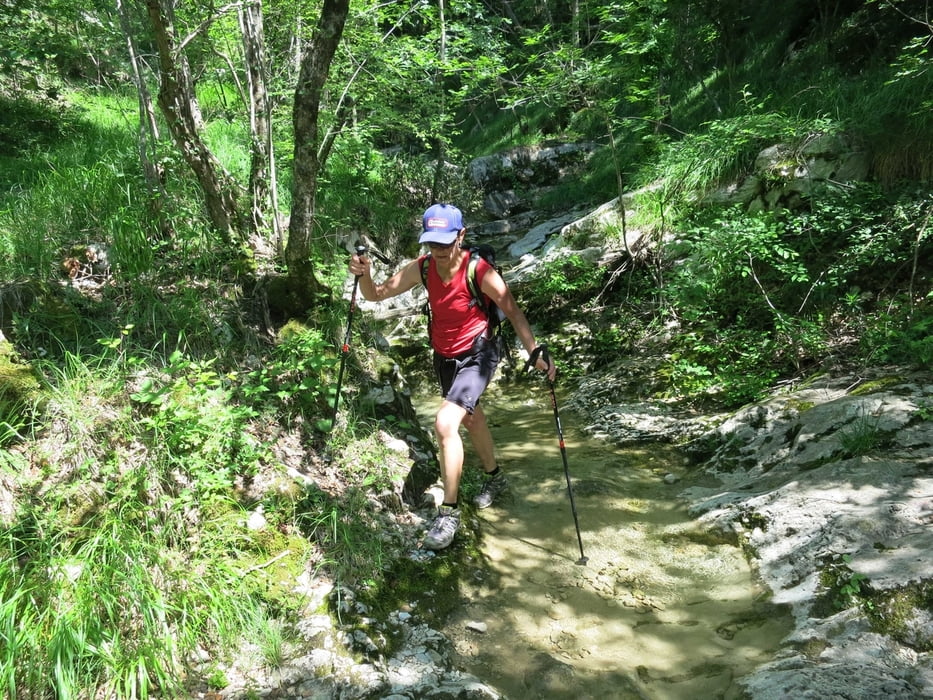
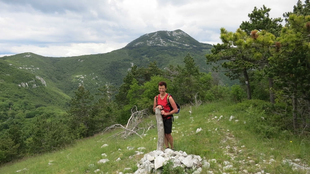
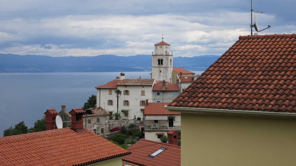
Bergtour auf einsamen aber gut markierten und beschilderten Steigen mit schönen Meeresblicken zur sagenumwogenen Kultstätte des Donnergottes Perun. Von Moscenicka Draga steigt man über das verlassene Mühlendorf Trebisca und das Hüttendorf Petrebisca zum Gipfel des Perun, wo ein schöner Picknikplatz mit Tisch und Bänken auf den hungrigen Wanderer warten. Gestärkt kann man über Forstwege und einsame Steige über Moscenice nach Moscenicka Draga zurücklaufen.
Tour gallery
Tour map and elevation profile
Minimum height 17 m
Maximum height 873 m
More about the tour author
|
|
RudolfTill |
Comments

Von der Autobahn A8 fährt man bei Matulji über Opatija und Lovran nach Moscenicka Draga.
GPS tracks
Trackpoints-
GPX / Garmin Map Source (gpx) download
-
TCX / Garmin Training Center® (tcx) download
-
CRS / Garmin Training Center® (crs) download
-
Google Earth (kml) download
-
G7ToWin (g7t) download
-
TTQV (trk) download
-
Overlay (ovl) download
-
Fugawi (txt) download
-
Kompass (DAV) Track (tk) download
-
Track data sheet (pdf) download
-
Original file of the author (gpx) download
More about the tour author
|
|
RudolfTill |
Add to my favorites
Remove from my favorites
Edit tags
Open track
My score
Rate