


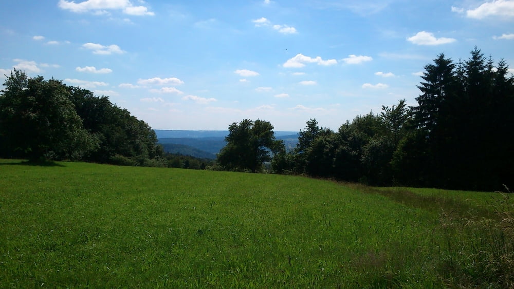
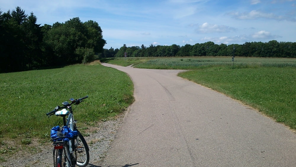
Nach Ankunft am Schorndorfer Bahnhof gings zuerst auf der Hauptstraße nach Urbach. Mit einer längeren Steigung am Bergrutsch am Kirchsteig vorbei hoch auf den Berg, nach Eselshalden und Langenberg bis zur Laufenmühle. Auf einem gut ausgebauten Weg entlang der Wieslauf an einer ehemaligen Mühle vorbei bis zum Ebnisee. Nach einer kurzen Pause gings weiter über Sechselberg und Steinbach nach Backnang.
https://plus.google.com/photos/100730619201356446317/albums/5896368603201928081?authkey=CPzJq52H1eHjxAE
Tour gallery

Tour map and elevation profile
Minimum height 272 m
Maximum height 588 m
More about the tour author

|
Biker82 |
Comments

Mit der S-Bahn nach Schorndorf.
GPS tracks
Trackpoints-
GPX / Garmin Map Source (gpx) download
-
TCX / Garmin Training Center® (tcx) download
-
CRS / Garmin Training Center® (crs) download
-
Google Earth (kml) download
-
G7ToWin (g7t) download
-
TTQV (trk) download
-
Overlay (ovl) download
-
Fugawi (txt) download
-
Kompass (DAV) Track (tk) download
-
Track data sheet (pdf) download
-
Original file of the author (gpx) download
More about the tour author
|
|
Biker82 |
Add to my favorites
Remove from my favorites
Edit tags
Open track
My score
Rate