Login

Forgot your login?

Cookies have to be accepted!
Your browser's cookie functionality is disabled. Please enable this functionality.

Not a member yet?

Register now
Login

Available for registred users only

Log in to use this feature.

Forgot your login?

Cookies have to be accepted!
Your browser's cookie functionality is disabled. Please enable this functionality.

Not a member yet?

Register now
Filter
Categories
Advanced filters
  • Distance (km)
  • Height
Save filters Reset filter

TrackRank

QRCode

Technical data

Distance121,6 km Height3023 m Way down2646 m Duration07:13 h:m Date08.08.2013
Scores Author Landscape Fun factor Fitness Technique

Statistics

253 Views Scores 39 Downloads Average
Rate
  • Track data sheet
  • Directions
  • Downloads

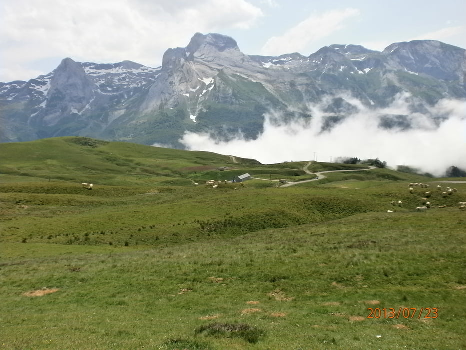
von Arette nach Luz-Saint-Sauveur mit folgenden Passen Col de Marie Blonque,Col de Aubisque

Col de Soular.Landschaftlich sehr schöne Strecke.
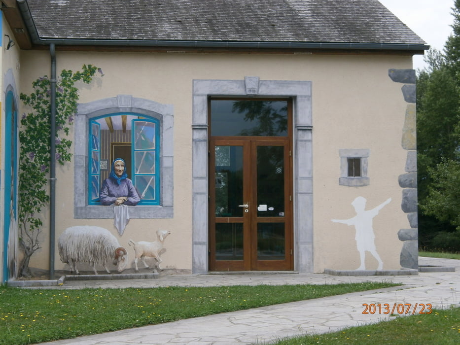
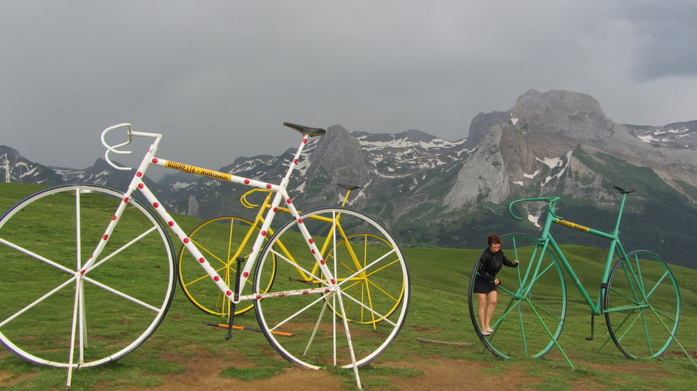
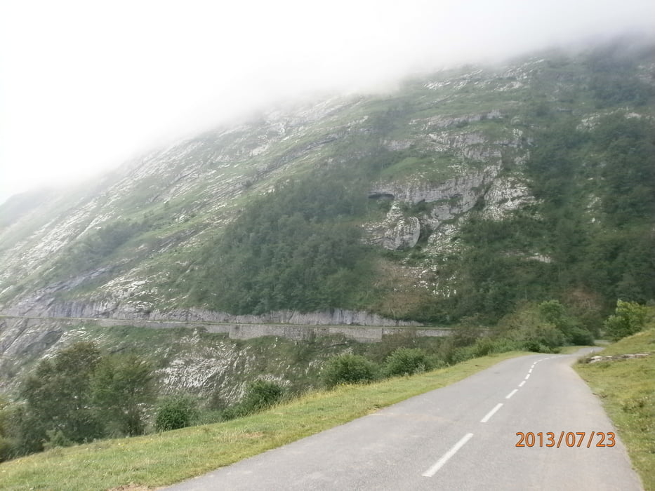
Tour gallery

Tour map and elevation profile

  • Open Street Map
  • Google
Minimum height 345 m Maximum height 1726 m Detailed view

More about the tour author

Red-Marin
Member since 2009

Send private message

Comments

Karte Michelin Nr:342 Baskenland -Pyrenäen


GPS tracks

Trackpoints
  • GPX / Garmin Map Source (gpx) download
  • TCX / Garmin Training Center® (tcx) download
  • CRS / Garmin Training Center® (crs) download
  • Google Earth (kml) download
  • G7ToWin (g7t) download
  • TTQV (trk) download
  • Overlay (ovl) download
  • Fugawi (txt) download
  • Kompass (DAV) Track (tk) download
  • Track data sheet (pdf) download
  • Original file of the author (tcx) download

More about the tour author

Red-Marin
Member since 2009

Send private message
Share track
Add to my favorites
Remove from my favorites
Edit tags
My score
Rate
Track: Pyrenäen Tour 2013 3.Tag
Type: Road biking
Distance: 121,6 km
Evaluated on:
Duration:
Day(s)
Hour(s)
Minute(s)
Score: Landscape Fun factor Fitness Technique