


Von Luz-Saint-Sauverur nach Saint Lary
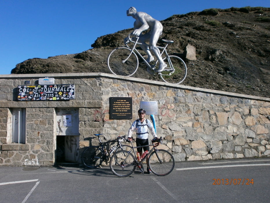
Die Strasse zum Col du Tourmalet war aufgrund der Flutschäden von 8-12.30 und 13.30-18.00 gesperrt. So war zeitiges Aufstehen angesagt. Den Tourmalet in den Morgenstunden zu überqueren war ein besonderes Erlebnis. Die Unterkunft in Saint Lary Logis Auberge De L`isard ist eine besondere Empfehlung wert - klein, fein, gemütlich mit guter Küche.
Col d`Aspin, Col de Peyresourde,Col de Mente ,Clo de Portet
Tour gallery
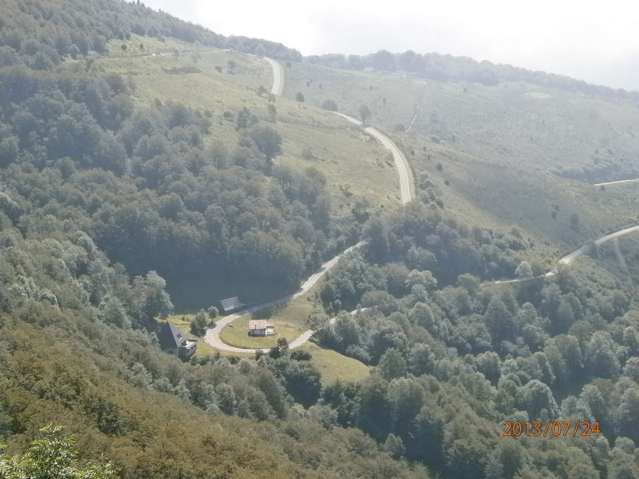
Tour map and elevation profile
Minimum height 494 m
Maximum height 2111 m
More about the tour author

|
Red-Marin |
Comments

Karten Michelin Nr.342 Baskenland-Pyrenäen, Nr.343 Garonne-Tal / Pays de Foix
GPS tracks
Trackpoints-
GPX / Garmin Map Source (gpx) download
-
TCX / Garmin Training Center® (tcx) download
-
CRS / Garmin Training Center® (crs) download
-
Google Earth (kml) download
-
G7ToWin (g7t) download
-
TTQV (trk) download
-
Overlay (ovl) download
-
Fugawi (txt) download
-
Kompass (DAV) Track (tk) download
-
Track data sheet (pdf) download
-
Original file of the author (tcx) download
More about the tour author
|
|
Red-Marin |
Add to my favorites
Remove from my favorites
Edit tags
Open track
My score
Rate