

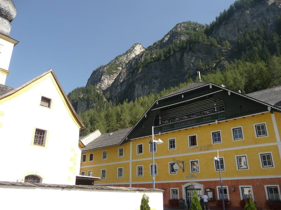

Der GPS-Weg führt nicht bis zu See (Wildalmsee)... Bei einer Hütte sind wir wegen Wetterverschlechterung zurückgetreten. Und bis zu See noch c.a. 400-500 M.
Further information at
http://goo.gl/maps/1YlVXTour gallery
Tour map and elevation profile
Minimum height 1228 m
Maximum height 1825 m
More about the tour author
|
|
copyright |
Comments

More about the tour author
|
|
copyright |
Add to my favorites
Remove from my favorites
Edit tags
Open track


My score
Rate