


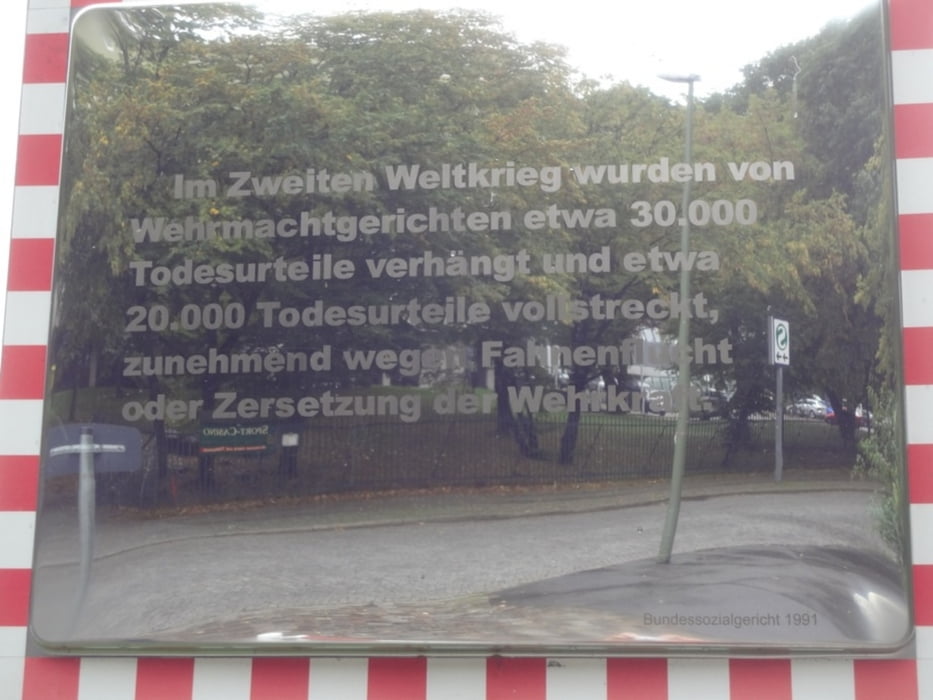
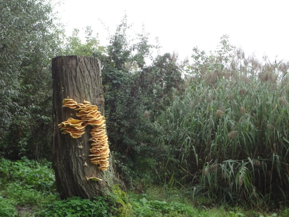
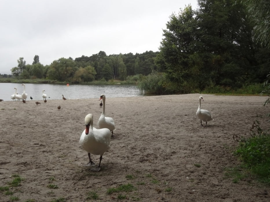
Der Havelhöhenweg führt am Steilufer der Havel entlang im Westen Berlins, beginnt in Spandau und endet am Strandbad Wannsee. Dieser Weg ist im Auftrag der Senatserwaltung für Stadtentwicklung markiert worden. In einem Begleitflyer dazu sind 30 verschiedene Punkte bezeichnet, die über historische, regionale und biologische Besonderheiten informieren. Eine schöne Idee, um in herrlicher Landschaft dazuzulernen!
Further information at
http://www.stadtentwicklung.berlin.de/forsten/waldspaziergang/havelhoehenweg/Tour gallery
Tour map and elevation profile
Minimum height 17 m
Maximum height 63 m
More about the tour author

|
Binuschka |
Comments

Die Tour startet von der S-Bahnhaltestelle Pichelsdorf.
GPS tracks
Trackpoints-
GPX / Garmin Map Source (gpx) download
-
TCX / Garmin Training Center® (tcx) download
-
CRS / Garmin Training Center® (crs) download
-
Google Earth (kml) download
-
G7ToWin (g7t) download
-
TTQV (trk) download
-
Overlay (ovl) download
-
Fugawi (txt) download
-
Kompass (DAV) Track (tk) download
-
Track data sheet (pdf) download
-
Original file of the author (gpx) download
More about the tour author
|
|
Binuschka |
Add to my favorites
Remove from my favorites
Edit tags
Open track
My score
Rate