Login

Forgot your login?

Cookies have to be accepted!
Your browser's cookie functionality is disabled. Please enable this functionality.

Not a member yet?

Register now
Login

Available for registred users only

Log in to use this feature.

Forgot your login?

Cookies have to be accepted!
Your browser's cookie functionality is disabled. Please enable this functionality.

Not a member yet?

Register now
Filter
Categories
Advanced filters
  • Distance (km)
  • Height
Save filters Reset filter

TrackRank

QRCode

Technical data

Distance15,1 km Height492 m Way down498 m Duration00:00 h:m Date30.09.2013
Scores Author Landscape Fun factor Fitness Technique

Statistics

634 Views Scores 105 Downloads Average
Rate
  • Track data sheet
  • Directions
  • Downloads

Chianti 2013

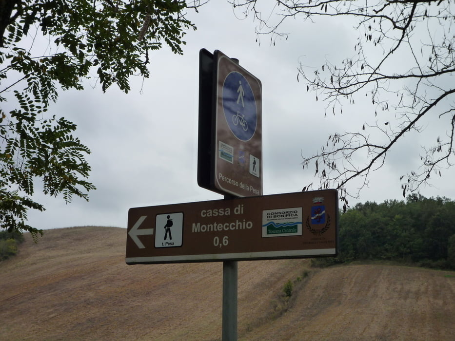
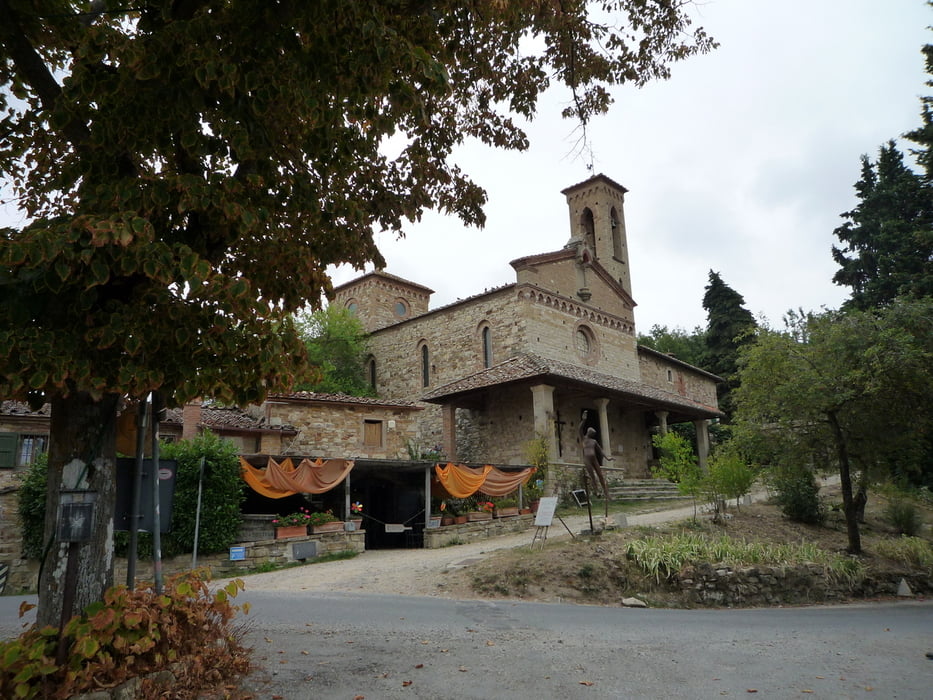
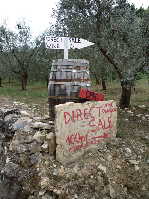
Ein schöne Runde mit Start in San Donato in Poggio. Der Weg führt uns als erstes zur Cantina La Papessa, weiter geht´s Abwärts ins Tal der Pesa. Der Wanderweg "Percorso della Pesa" beginnt bereits im Ort Sambuca! Ende des Weges ist etwa 250 m nach dem Punkt C.Petrazzo ( Haus ). Der Beschilderung Sicelle folgen ( etwa 500 m zurück ) . Direkt in Sicelle neben der Chiesa di San Miniato befindet sich ein kleines Lokal, das eine sehr gute Küche ( Salate und Pasta ) anbietet. Offen ab 12:30 bis 15:00 Uhr / ab 19 Uhr ( Mi oder Do Ruhetag ? ) Weiter zu den nächsten Weingütern, Localita Filigare und etwas Abseits des Weges La Filigare.

Quasi 3 Weinproben weiter kommen wir gestärkt und gut gelaunt in San Donato an! Unser Rucksack ist gefüllt mit einigen guten Tropfen ;-)!


Viel Spaß!

Further information at

http://www.sandonatoinpoggio.it/html/home.php

Tour gallery

Tour map and elevation profile

  • Open Street Map
  • Google
Minimum height 218 m Maximum height 494 m Detailed view

More about the tour author

FLU
Member since 2009

Send private message

Comments

GPS tracks

Trackpoints
  • GPX / Garmin Map Source (gpx) download
  • TCX / Garmin Training Center® (tcx) download
  • CRS / Garmin Training Center® (crs) download
  • Google Earth (kml) download
  • G7ToWin (g7t) download
  • TTQV (trk) download
  • Overlay (ovl) download
  • Fugawi (txt) download
  • Kompass (DAV) Track (tk) download
  • Track data sheet (pdf) download
  • Original file of the author (gpx) download

More about the tour author

FLU
Member since 2009

Send private message
Share track
Add to my favorites
Remove from my favorites
Edit tags
My score
Rate
Track: Chianti 2013_3 Weinproben weiter......
Type: Hiking
Distance: 15,1 km
Evaluated on:
Duration:
Day(s)
Hour(s)
Minute(s)
Score: Landscape Fun factor Fitness Technique