


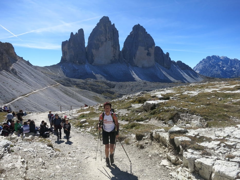
Super Panoramatour rund um die 3-Zinnen.
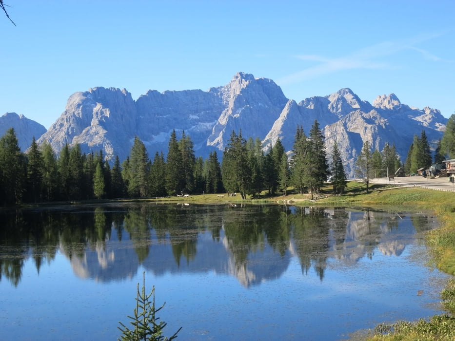
Ausgangspunkt: Lago d'Antorno in der Nähe vom Misurinasee
Aufstieg über den Weg Nr. 101 zur Auronzohütte dann weiter über die Lavredohütte zur Drei-Zinnen-Hütte. Auf dem Weg Nr. 105 und die Forcella Col di Mezzo zurück zur Auronzohütte und wieder hinab zum Lago d'Antorno.
Tour gallery
Tour map and elevation profile
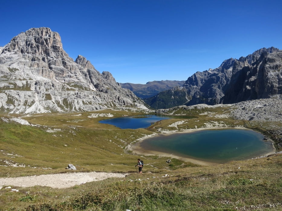
Minimum height 1866 m
Maximum height 2457 m
More about the tour author
|
|
RudolfTill |
Comments

Von Toblach auf der Straße Nr. 51 nach Schluderbach und von hier über die Straße 48b bis kurz vor die Mautstelle der Aoronzostraße.
GPS tracks
Trackpoints-
GPX / Garmin Map Source (gpx) download
-
TCX / Garmin Training Center® (tcx) download
-
CRS / Garmin Training Center® (crs) download
-
Google Earth (kml) download
-
G7ToWin (g7t) download
-
TTQV (trk) download
-
Overlay (ovl) download
-
Fugawi (txt) download
-
Kompass (DAV) Track (tk) download
-
Track data sheet (pdf) download
-
Original file of the author (gpx) download
More about the tour author
|
|
RudolfTill |
Add to my favorites
Remove from my favorites
Edit tags
Open track
My score
Rate