Login

Forgot your login?

Cookies have to be accepted!
Your browser's cookie functionality is disabled. Please enable this functionality.

Not a member yet?

Register now
Login

Available for registred users only

Log in to use this feature.

Forgot your login?

Cookies have to be accepted!
Your browser's cookie functionality is disabled. Please enable this functionality.

Not a member yet?

Register now
Filter
Categories
Advanced filters
  • Distance (km)
  • Height
Save filters Reset filter

TrackRank

QRCode

Technical data

Distance15,9 km Height1457 m Way down1448 m Duration08:00 h:m Date03.01.2014
Scores Author Landscape Fun factor Fitness Technique

Statistics

913 Views Scores 28 Downloads Average
Rate
  • Track data sheet
  • Directions
  • Downloads
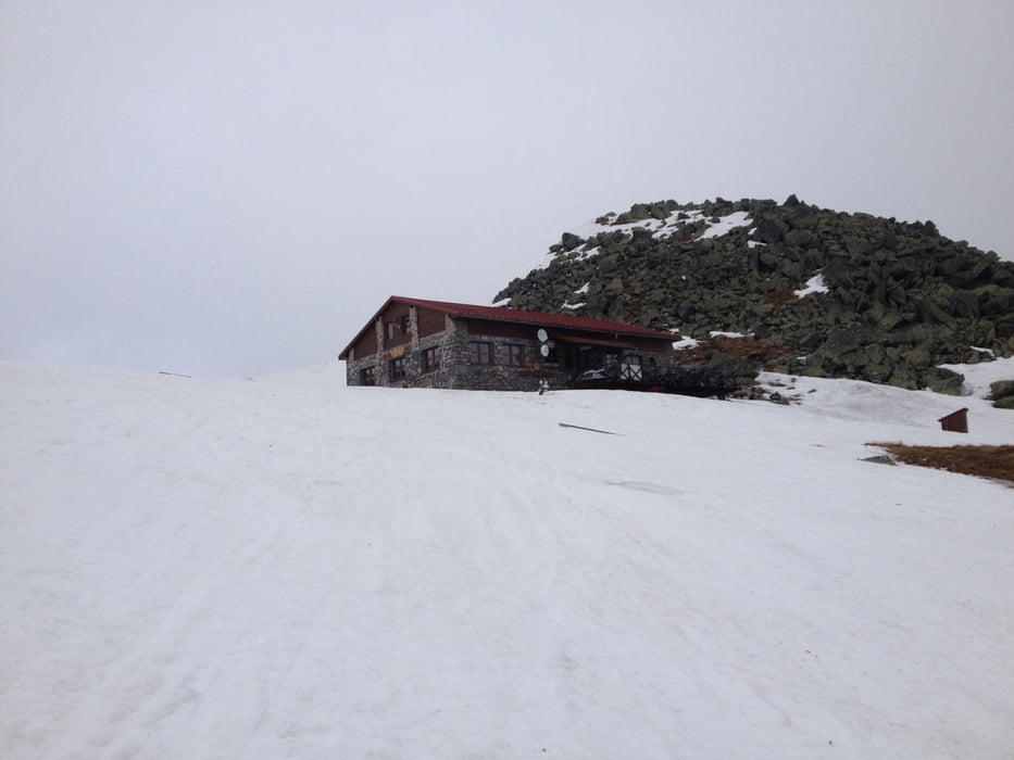
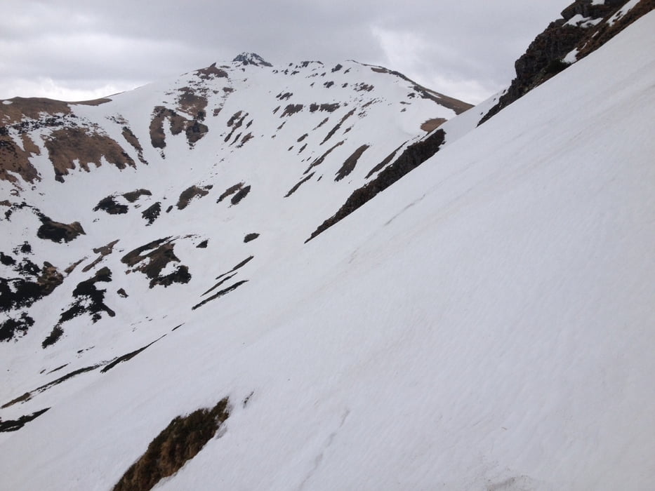
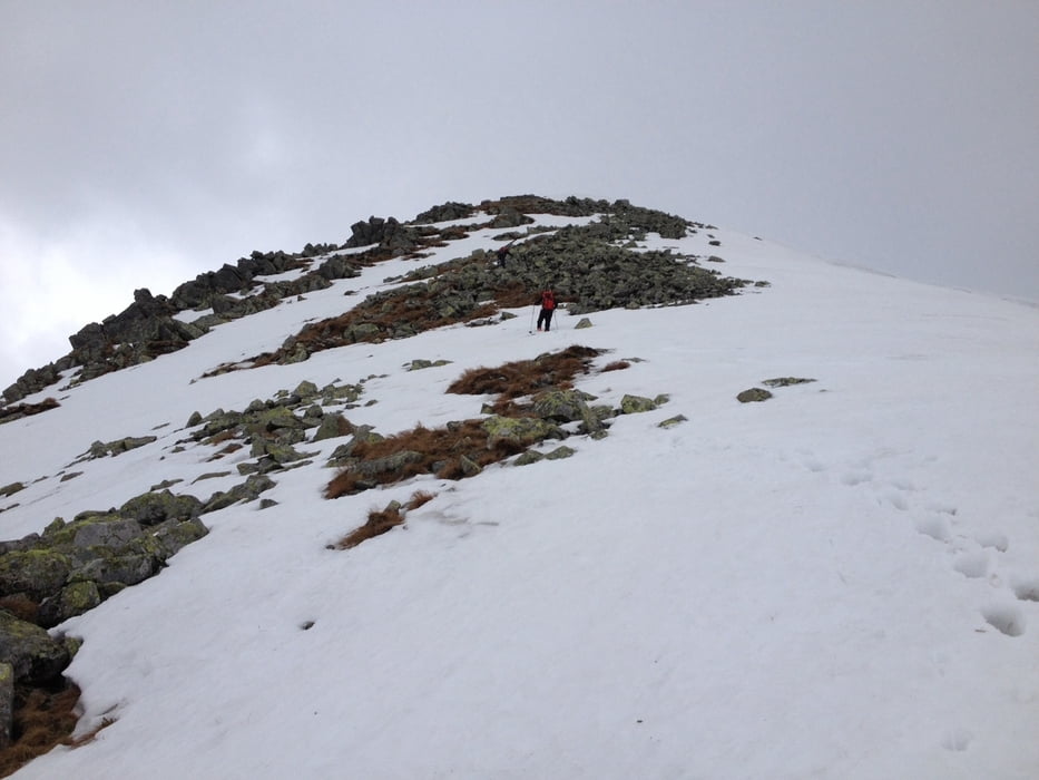
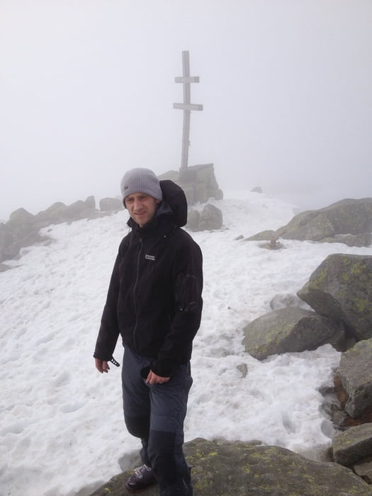
29.4.2013: We left Stefanikova hut at 8:40, passed Ďumbier from left side and went approximately around the contour to the ski lift on Chopok. Then we went directly up the slope to Kamenna hut where it is possible to eat/drink. Then partly down the slope, partly down the forrest to the valley. From the lowest point of the track (1345m) up to the ridge, but the orientation was not easy due to the foggy weather so we missed the planned ascent. Finally we reached the ridge near Konske (1888m), then along the ridge direction Dumbier and then down to Stefanikova hut.

Tour gallery

Tour map and elevation profile

  • Open Street Map
  • Google
Minimum height 1345 m Maximum height 2026 m Detailed view

More about the tour author

JakubBr
Member since 2014

Send private message

Comments

Parking is possible not far from Srdiečko hotel, directly on the beginning of the track.

From parking place it is possible to go on ski.


GPS tracks

Trackpoints
  • GPX / Garmin Map Source (gpx) download
  • TCX / Garmin Training Center® (tcx) download
  • CRS / Garmin Training Center® (crs) download
  • Google Earth (kml) download
  • G7ToWin (g7t) download
  • TTQV (trk) download
  • Overlay (ovl) download
  • Fugawi (txt) download
  • Kompass (DAV) Track (tk) download
  • Track data sheet (pdf) download
  • Original file of the author (gpx) download

More about the tour author

JakubBr
Member since 2014

Send private message
Share track
Add to my favorites
Remove from my favorites
Edit tags
My score
Rate
Track: Slovakia - Chopok (2024m), Dumbier (2043m)
Type: Ski touring
Distance: 15,9 km
Evaluated on:
Duration:
Day(s)
Hour(s)
Minute(s)
Score: Landscape Fun factor Fitness Technique