Login

Forgot your login?

Cookies have to be accepted!
Your browser's cookie functionality is disabled. Please enable this functionality.

Not a member yet?

Register now
Login

Available for registred users only

Log in to use this feature.

Forgot your login?

Cookies have to be accepted!
Your browser's cookie functionality is disabled. Please enable this functionality.

Not a member yet?

Register now
Filter
Categories
Advanced filters
  • Distance (km)
  • Height
Save filters Reset filter

TrackRank

QRCode

Technical data

Distance6,1 km Height422 m Way down426 m Duration03:00 h:m Date09.02.2014
Scores Author Landscape Fun factor Fitness Technique

Statistics

396 Views Scores 17 Downloads Average
Rate
  • Track data sheet
  • Directions
  • Downloads

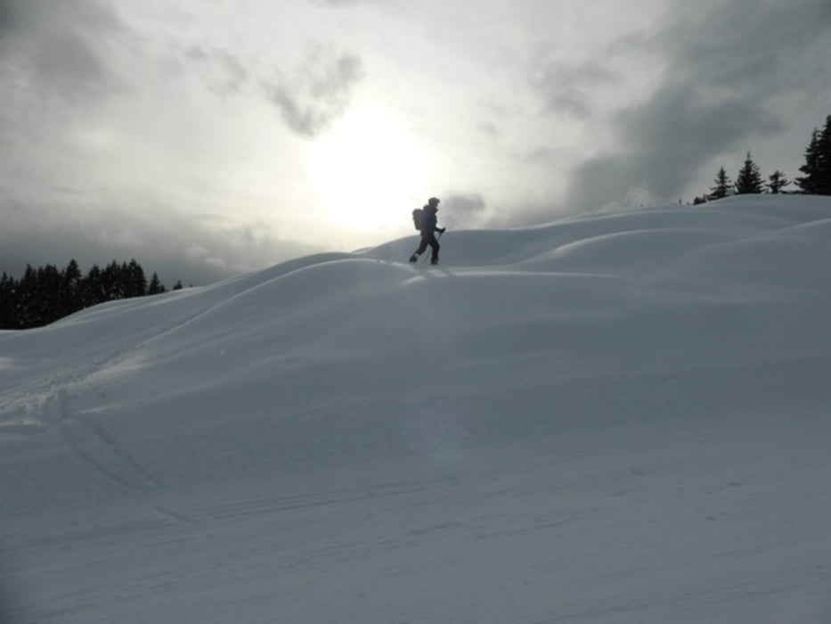
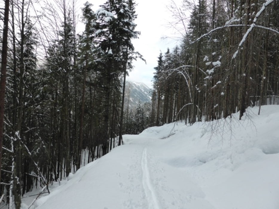
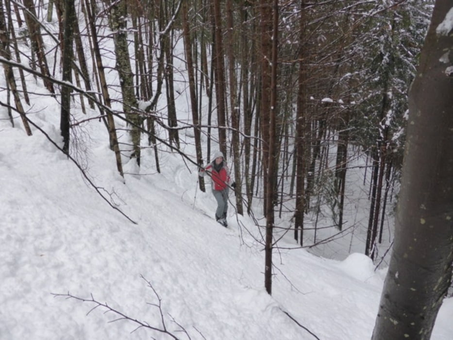
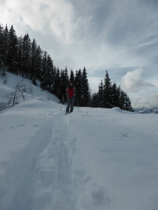
Tour starts from the Naggler Alm talstation. Following the tobogan track with some short-cuts. Top is at Naggler Alm hutte. Ascend on the ski-piste.


Tour gallery

Tour map and elevation profile

  • Open Street Map
  • Google
Minimum height 951 m Maximum height 1357 m Detailed view

More about the tour author

joe007
Member since 2009

Send private message

Comments

Tour starts from Weissensee. Cross the bridge. Park the car at the talstation.


GPS tracks

Trackpoints
  • GPX / Garmin Map Source (gpx) download
  • TCX / Garmin Training Center® (tcx) download
  • CRS / Garmin Training Center® (crs) download
  • Google Earth (kml) download
  • G7ToWin (g7t) download
  • TTQV (trk) download
  • Overlay (ovl) download
  • Fugawi (txt) download
  • Kompass (DAV) Track (tk) download
  • Track data sheet (pdf) download
  • Original file of the author (gpx) download

More about the tour author

joe007
Member since 2009

Send private message
Share track
Add to my favorites
Remove from my favorites
Edit tags
My score
Rate
Track: Naggler Alm
Type: Ski touring
Distance: 6,1 km
Evaluated on:
Duration:
Day(s)
Hour(s)
Minute(s)
Score: Landscape Fun factor Fitness Technique