Login

Forgot your login?

Cookies have to be accepted!
Your browser's cookie functionality is disabled. Please enable this functionality.

Not a member yet?

Register now
Login

Available for registred users only

Log in to use this feature.

Forgot your login?

Cookies have to be accepted!
Your browser's cookie functionality is disabled. Please enable this functionality.

Not a member yet?

Register now
Filter
Categories
Advanced filters
  • Distance (km)
  • Height
Save filters Reset filter

TrackRank

QRCode

Technical data

Distance104,3 km Height225 m Way down264 m Duration1 day 0 h Date02.03.2014
Scores Author Landscape Fun factor Fitness Technique

Statistics

65 Views Scores 11 Downloads Average
Rate
  • Track data sheet
  • Directions
  • Downloads


8. Etappe von München nach Südhessen. Etappenziel Wertheim- Mondfeld

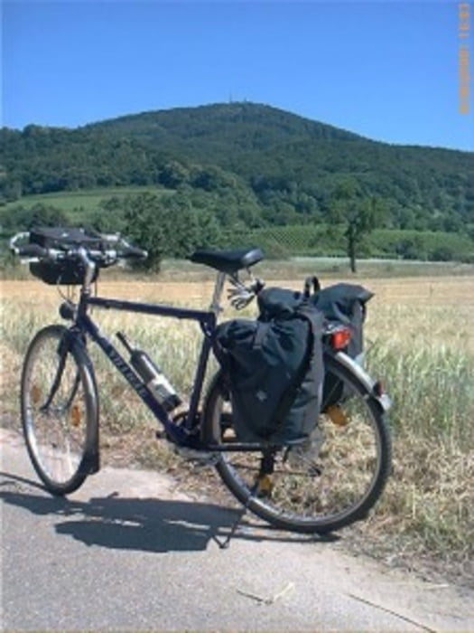
Start war der Hauptbahnhof in München, Isar abwärt ging es nach Landshut, durch die Hallertau ( Rottenburg a.d. Laaber, Rohr i. NB, Abensberg ) zur Donau. Vorbei am Kloster Weltenburg nach Kelkheim. Der komplette Main-Donau-Kanal zum Main. Main abwärts ging es bis Seligenstadt, dann über Darmstadt nach Südhessen.
 

Further information at

http://www.biketripps.de/

Tour map and elevation profile

  • Open Street Map
  • Google
Minimum height 131 m Maximum height 187 m Detailed view

More about the tour author

JN
Member since 2009

Send private message

Comments

GPS tracks

Trackpoints
  • GPX / Garmin Map Source (gpx) download
  • TCX / Garmin Training Center® (tcx) download
  • CRS / Garmin Training Center® (crs) download
  • Google Earth (kml) download
  • G7ToWin (g7t) download
  • TTQV (trk) download
  • Overlay (ovl) download
  • Fugawi (txt) download
  • Kompass (DAV) Track (tk) download
  • Track data sheet (pdf) download
  • Original file of the author (gpx) download

More about the tour author

JN
Member since 2009

Send private message
Share track
Add to my favorites
Remove from my favorites
Edit tags
My score
Rate
Track: 2009 8/10 München - Südhessen
Type: Trekkingbike
Distance: 104,3 km
Evaluated on:
Duration:
Day(s)
Hour(s)
Minute(s)
Score: Landscape Fun factor Fitness Technique