Login

Forgot your login?

Cookies have to be accepted!
Your browser's cookie functionality is disabled. Please enable this functionality.

Not a member yet?

Register now
Login

Available for registred users only

Log in to use this feature.

Forgot your login?

Cookies have to be accepted!
Your browser's cookie functionality is disabled. Please enable this functionality.

Not a member yet?

Register now
Filter
Categories
Advanced filters
  • Distance (km)
  • Height
Save filters Reset filter

TrackRank

QRCode

Technical data

Distance91,1 km Height423 m Way down468 m Duration1 day 0 h Date02.03.2014
Scores Author Landscape Fun factor Fitness Technique

Statistics

83 Views Scores 19 Downloads Average
Rate
  • Track data sheet
  • Directions
  • Downloads

2.Etappe von 7 auf der Strecke Donaueschingen nach Südhessen.

Start am Bahnhof von Donaueschingen. "Stärkung" bei der Brauerei Fürstenberg, danach ging es zur Donauquelle. Über Blaubeuren, Ulm, Geislingen, Stuttgart und Heidelberg, ging es zum Ende nach Südhessen.

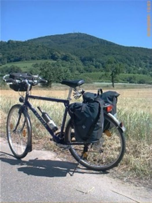
An der Donau war es auch mal etwas "hügelig". Die Strecke von Ulm nach Geislingen war etwas "durchwachsen". Doch danach war es wieder sehr gut.
 

Further information at

http://www.biketripps.de/

Tour map and elevation profile

  • Open Street Map
  • Google
Minimum height 536 m Maximum height 677 m Detailed view

More about the tour author

JN
Member since 2009

Send private message

Comments

GPS tracks

Trackpoints
  • GPX / Garmin Map Source (gpx) download
  • TCX / Garmin Training Center® (tcx) download
  • CRS / Garmin Training Center® (crs) download
  • Google Earth (kml) download
  • G7ToWin (g7t) download
  • TTQV (trk) download
  • Overlay (ovl) download
  • Fugawi (txt) download
  • Kompass (DAV) Track (tk) download
  • Track data sheet (pdf) download
  • Original file of the author (gpx) download

More about the tour author

JN
Member since 2009

Send private message
Share track
Add to my favorites
Remove from my favorites
Edit tags
My score
Rate
Track: 2011 2/7 Donauquelle / Ulm / Stuttgart / Neckar / Südhessen
Type: Trekkingbike
Distance: 91,1 km
Evaluated on:
Duration:
Day(s)
Hour(s)
Minute(s)
Score: Landscape Fun factor Fitness Technique