


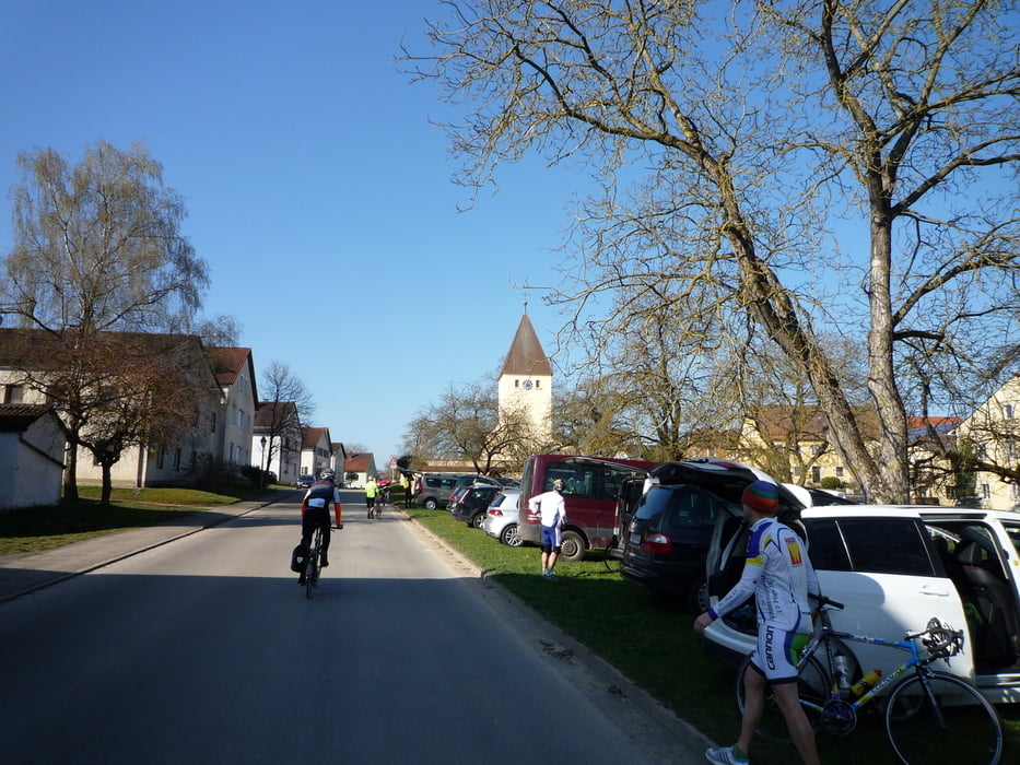
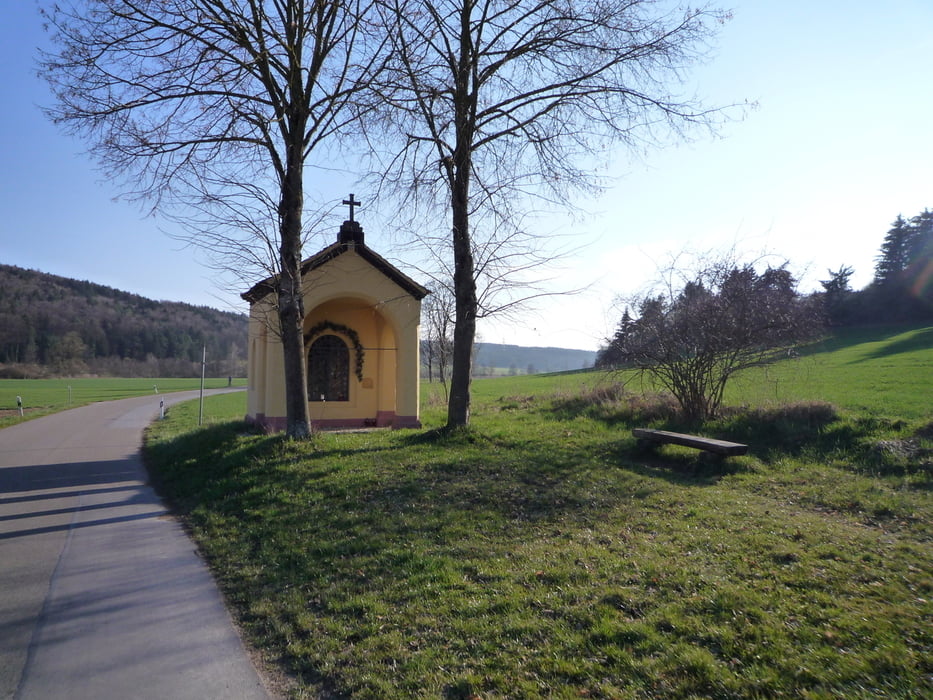
200 km Brevet ARA Osterdorf
Sehr schöne Strecke durch die Landkreise Weißenburg, Eichstätt, Kelheim und Neumarkt.
Strecke verläuft sehr häufig auf kleineren Nebenstraßen. Kleine Streckenänderungen zu 2013!
Viel Spaß!
Further information at
http://randonneure.de/Tour gallery

Tour map and elevation profile
Minimum height 352 m
Maximum height 563 m
More about the tour author
|
|
FLU |
Comments

More about the tour author
|
|
FLU |
Add to my favorites
Remove from my favorites
Edit tags
Open track
My score
Rate