
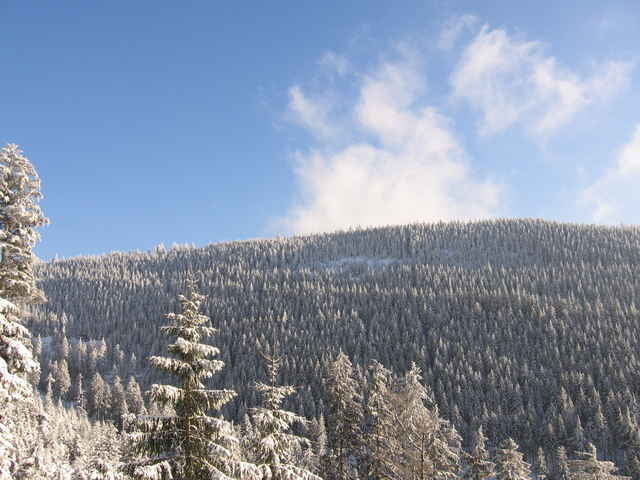

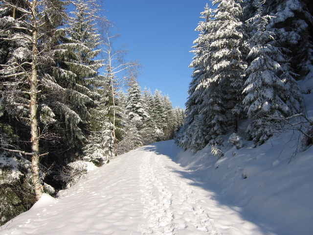
Schöne Tour rund um den Ruhestein abseits des Touristenrummel. Während der Tour hat man herrliche Ausblicke in das Rheintal, bei guter Sicht kann man sogar die Vogesen sehen. Die Tour verläuft überwiegend in leichtem (teilweise gekennzeichnete Schneetour) Gelände. Am höchsten Punkt der Tour erwartet einen zum Einkehren die Darmstädter Hütte. Von da an geht es fast fast nur noch bergab zum Ausgangspunkt zurück
Tour gallery
Tour map and elevation profile
Minimum height 902 m
Maximum height 1053 m
More about the tour author

|
Comments

Von Freudenstadt auf die B500 Richtung Baden-Baden. Parkplatz Skilift Ruhestein Startort
GPS tracks
Trackpoints-
GPX / Garmin Map Source (gpx) download
-
TCX / Garmin Training Center® (tcx) download
-
CRS / Garmin Training Center® (crs) download
-
Google Earth (kml) download
-
G7ToWin (g7t) download
-
TTQV (trk) download
-
Overlay (ovl) download
-
Fugawi (txt) download
-
Kompass (DAV) Track (tk) download
-
Track data sheet (pdf) download
-
Original file of the author (gpx) download
More about the tour author
|
|
Add to my favorites
Remove from my favorites
Edit tags
Open track
My score
Rate