Login

Forgot your login?

Cookies have to be accepted!
Your browser's cookie functionality is disabled. Please enable this functionality.

Not a member yet?

Register now
Login

Available for registred users only

Log in to use this feature.

Forgot your login?

Cookies have to be accepted!
Your browser's cookie functionality is disabled. Please enable this functionality.

Not a member yet?

Register now
Filter
Categories
Advanced filters
  • Distance (km)
  • Height
Save filters Reset filter

TrackRank

QRCode

Technical data

Distance16,0 km Height839 m Way down361 m Duration04:00 h:m Date18.05.2014
Scores Author Landscape Fun factor Fitness Technique

Statistics

702 Views Scores 24 Downloads Average
Rate
  • Track data sheet
  • Directions
  • Downloads
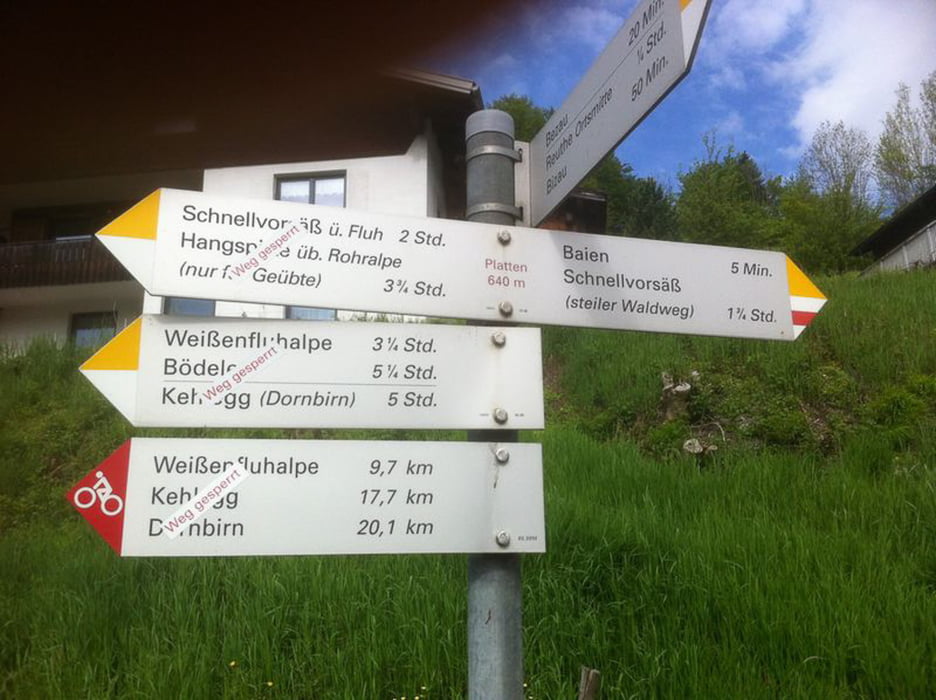
Die Straße von Bezau auf die Rohralpe ist mit einem Fahrverbot für Biker, Fußgänger, ... belegt. 
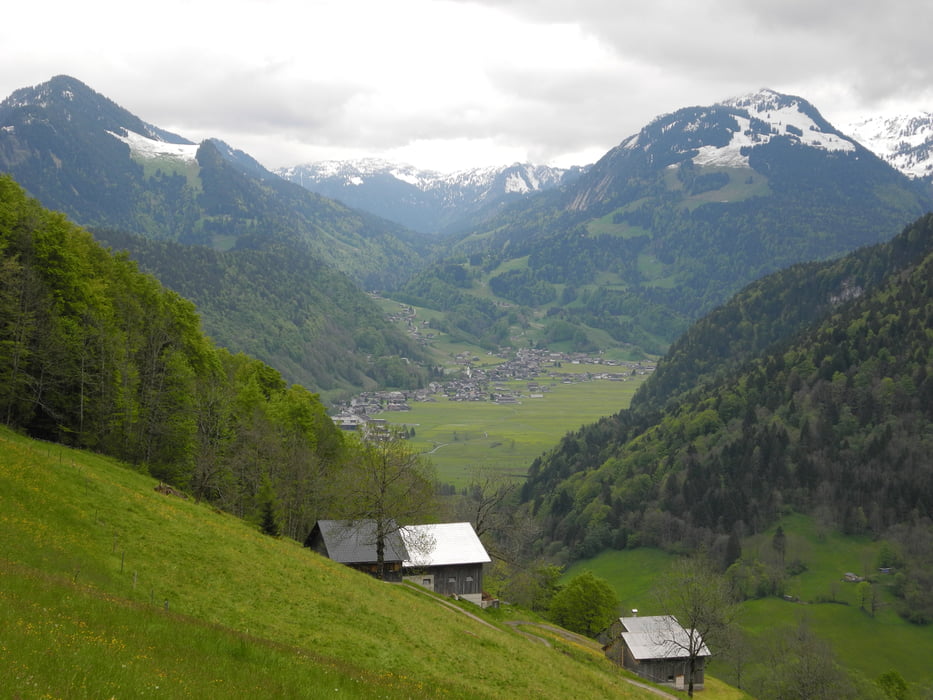
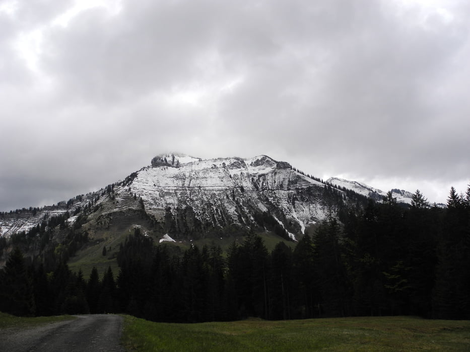
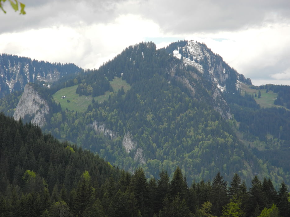
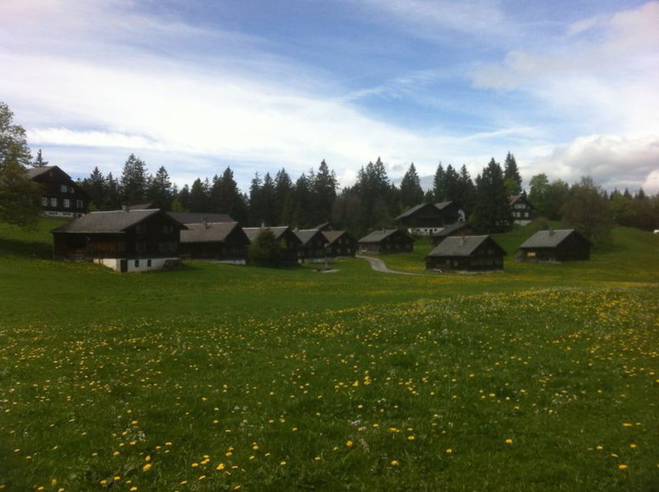
Tour gallery

Tour map and elevation profile

  • Open Street Map
  • Google
Minimum height 634 m Maximum height 1306 m Detailed view

More about the tour author

xlink
Member since 2010

Send private message

Comments

urbZZ on 03.08.2014

Freigabe?

Ist ja jetzt schon eine ganze Weile gesperrt (übrigens danke für die Info, ist sonst nirgendwo zu finden). Sogar auf der Meltau Touristen info ist die MTB Tour noch aufgeführt ... Warum ist es denn gesperrt? Ist eine Freigabe in Sicht? Ist es prinzipiell fahrbar, oder gibt es gute Gründe für die Sperrung?

Hallo!

Es drängt sich der Eindruck auf, dass es nur um die Haftung geht.
Der Weg ist problemlos befahrbar.

Schöne Grüße

GPS tracks

Trackpoints
  • GPX / Garmin Map Source (gpx) download
  • TCX / Garmin Training Center® (tcx) download
  • CRS / Garmin Training Center® (crs) download
  • Google Earth (kml) download
  • G7ToWin (g7t) download
  • TTQV (trk) download
  • Overlay (ovl) download
  • Fugawi (txt) download
  • Kompass (DAV) Track (tk) download
  • Track data sheet (pdf) download
  • Original file of the author (gpx) download

More about the tour author

xlink
Member since 2010

Send private message
Share track
Add to my favorites
Remove from my favorites
Edit tags
My score
Rate
Track: Bezau - Bödele (Rohralpe, Weißenfluh, Lustenauerhütte)
Type: Hiking
Distance: 16,0 km
Evaluated on:
Duration:
Day(s)
Hour(s)
Minute(s)
Score: Landscape Fun factor Fitness Technique