Login

Forgot your login?

Cookies have to be accepted!
Your browser's cookie functionality is disabled. Please enable this functionality.

Not a member yet?

Register now
Login

Available for registred users only

Log in to use this feature.

Forgot your login?

Cookies have to be accepted!
Your browser's cookie functionality is disabled. Please enable this functionality.

Not a member yet?

Register now
Filter
Categories
Advanced filters
  • Distance (km)
  • Height
Save filters Reset filter

TrackRank

QRCode

Technical data

Distance11,2 km Height981 m Way down1006 m Duration05:00 h:m Date21.05.2014
Scores Author Landscape Fun factor Fitness Technique

Statistics

710 Views Scores 18 Downloads Average
Rate
  • Track data sheet
  • Directions
  • Downloads

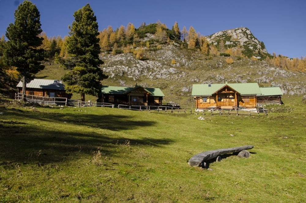
Beim Berggasthof Burgstaller  in der Ramsau beginnt diese Tour. Vorwiegend durch Mischwald ist man ca. zwei Stunden unterwegs bis man zur Stornalm kommt. Von dort noch ca  eine Stunde auf den Gipfel des Kufsteins.

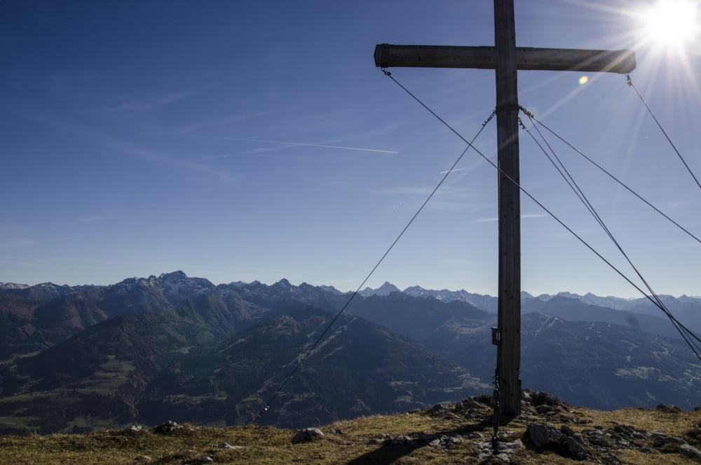
Unglaublich schöner Aussichtsberg  in alle Himmelsrichtungen.

Tour gallery

Tour map and elevation profile

  • Open Street Map
  • Google
Minimum height 1017 m Maximum height 2063 m Detailed view

More about the tour author

Weebe60
Member since 2014

Send private message

Comments

Von Liezen kommend vor Haus rechts nach Weissenbach Richtung Ramsau. Beim Lodenwalcher dann rechts zum Berggasthof Burgstaller.

GPS tracks

Trackpoints
  • GPX / Garmin Map Source (gpx) download
  • TCX / Garmin Training Center® (tcx) download
  • CRS / Garmin Training Center® (crs) download
  • Google Earth (kml) download
  • G7ToWin (g7t) download
  • TTQV (trk) download
  • Overlay (ovl) download
  • Fugawi (txt) download
  • Kompass (DAV) Track (tk) download
  • Track data sheet (pdf) download
  • Original file of the author (gpx) download

More about the tour author

Weebe60
Member since 2014

Send private message
Share track
Add to my favorites
Remove from my favorites
Edit tags
My score
Rate
Track: Kufstein vom Ghf. Burgstaller über Stornalm
Type: Hiking
Distance: 11,2 km
Evaluated on:
Duration:
Day(s)
Hour(s)
Minute(s)
Score: Landscape Fun factor Fitness Technique