Login

Forgot your login?

Cookies have to be accepted!
Your browser's cookie functionality is disabled. Please enable this functionality.

Not a member yet?

Register now
Login

Available for registred users only

Log in to use this feature.

Forgot your login?

Cookies have to be accepted!
Your browser's cookie functionality is disabled. Please enable this functionality.

Not a member yet?

Register now
Filter
Categories
Advanced filters
  • Distance (km)
  • Height
Save filters Reset filter

TrackRank

QRCode

Technical data

Distance5,9 km Height363 m Way down329 m Duration03:46 h:m Date22.05.2014
Scores Author Landscape Fun factor Fitness Technique

Statistics

258 Views Scores 10 Downloads Average
Rate
  • Track data sheet
  • Directions
  • Downloads
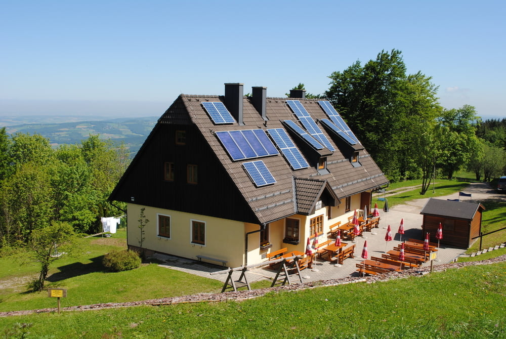
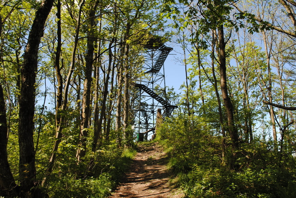
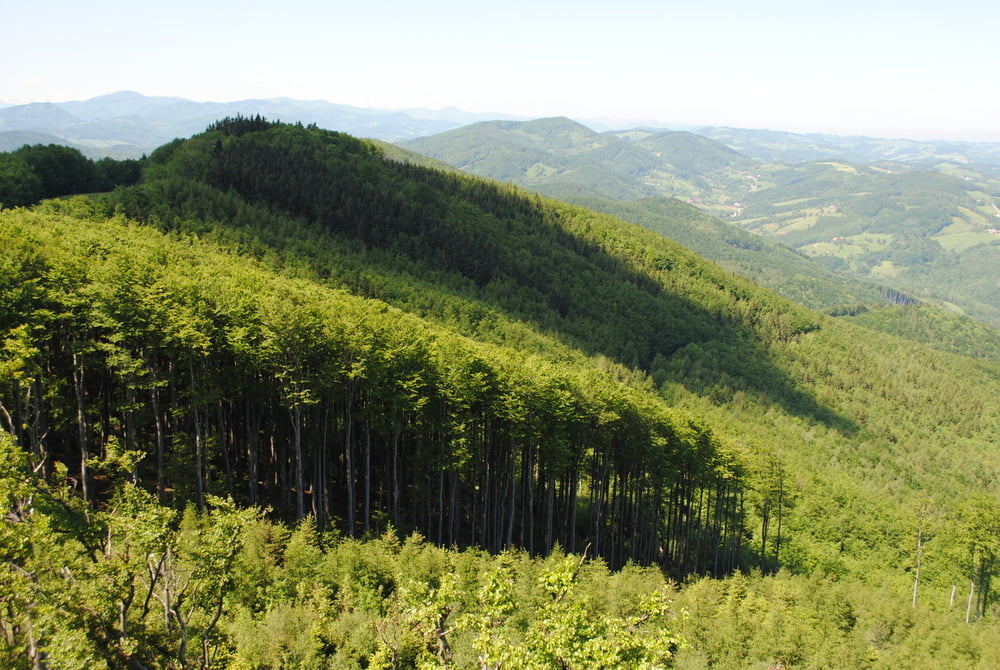
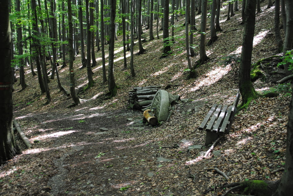
Start Parkplatz Forsthof.Auf Forstraße bis zum Pferdegestüt und dann links weiter bis zum Pensionistensteig.Rechts auf roter Markierung mässig steil hoch bis zur Schöpflquelle und weiter bis zum Schöpf-Schutzhaus.kurze Rast und dann bis zur Matraswarte.Großartiges Wetter und herrliche Fernsicht.Zurück zur Schützhütte und Mittagessen und dann zurück über den Githsteig bis zum Parkplatz Forsthof.Wegzeit mit vielen Rast- und Fotopausen. 

Further information at

http://www.touristenklub.at/huetten/37.htm

Tour gallery

Tour map and elevation profile

  • Open Street Map
  • Google
Minimum height 550 m Maximum height 925 m Detailed view

More about the tour author

LeoCheops
Member since 2008

Send private message

Comments

GPS tracks

Trackpoints
  • GPX / Garmin Map Source (gpx) download
  • TCX / Garmin Training Center® (tcx) download
  • CRS / Garmin Training Center® (crs) download
  • Google Earth (kml) download
  • G7ToWin (g7t) download
  • TTQV (trk) download
  • Overlay (ovl) download
  • Fugawi (txt) download
  • Kompass (DAV) Track (tk) download
  • Track data sheet (pdf) download
  • Original file of the author (gpx) download

More about the tour author

LeoCheops
Member since 2008

Send private message
Share track
Add to my favorites
Remove from my favorites
Edit tags
My score
Rate
Track: Frühling am Schöpfl (20.05.2014)
Type: Mountain hiking
Distance: 5,9 km
Evaluated on:
Duration:
Day(s)
Hour(s)
Minute(s)
Score: Landscape Fun factor Fitness Technique