Login

Forgot your login?

Cookies have to be accepted!
Your browser's cookie functionality is disabled. Please enable this functionality.

Not a member yet?

Register now
Login

Available for registred users only

Log in to use this feature.

Forgot your login?

Cookies have to be accepted!
Your browser's cookie functionality is disabled. Please enable this functionality.

Not a member yet?

Register now
Filter
Categories
Advanced filters
  • Distance (km)
  • Height
Save filters Reset filter

TrackRank

QRCode

Technical data

Distance11,9 km Height479 m Way down422 m Duration04:02 h:m Date01.06.2014
Scores Author Landscape Fun factor Fitness Technique

Statistics

166 Views Scores 10 Downloads Average
Rate
  • Track data sheet
  • Directions
  • Downloads
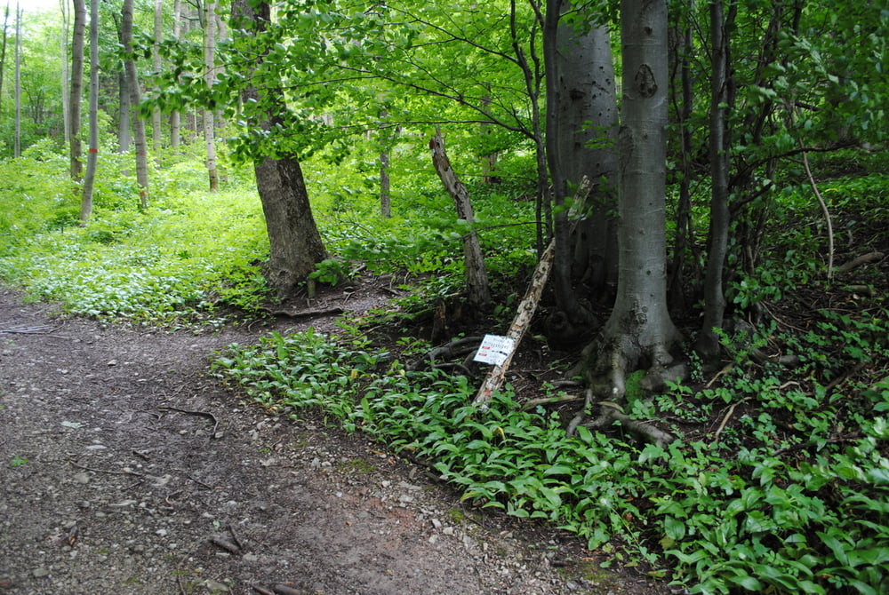
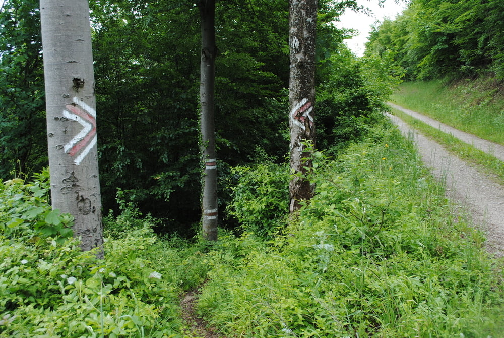
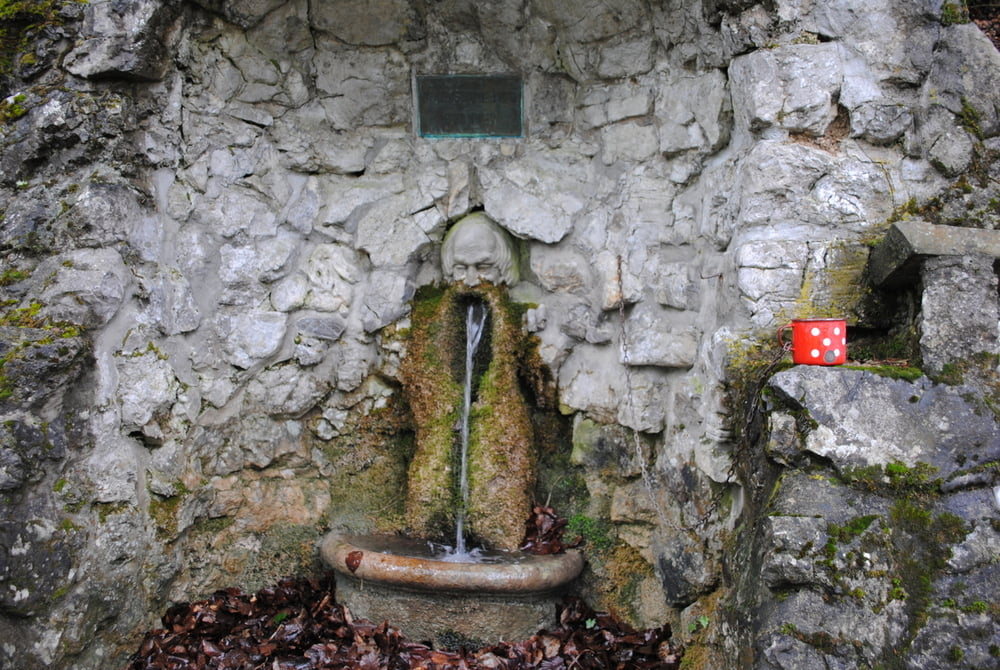
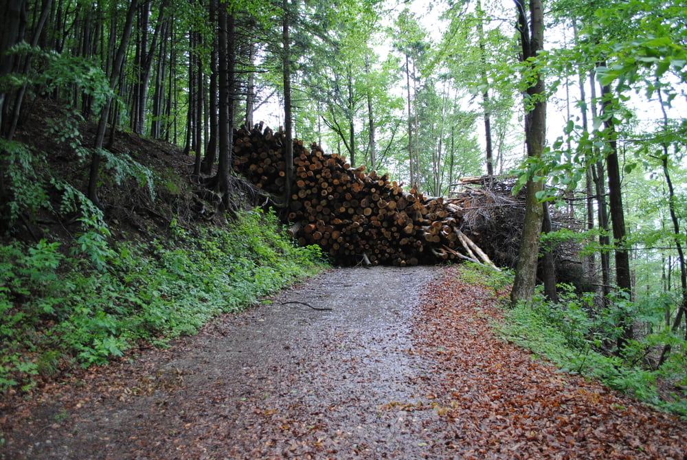
An diesen Tag ist alles daneben gegangen.Wetter sehr bewölkt,aber fast trocken.Auto geparkt in Altenmarkt /Triesting bei der Feuerwehr.Markiert (rot)zum Wieshofersteig.Vor den Steig habe ich mich verrannt und bin in unwegsames Gelände und mit einiger Mühe auf eine Forststrasse gekommen.Nach langer Suche wieder auf die richtige Strecke gekommen.Auf Forststrasse rot und blau markiert bis zum Wildenauerbrunnen.Gleich dahinter war für mich die Tour zu Ende.Die Strasse war ca.5 bis 6m hoch mit Holzstämmen blockert.Umgehung nach meiner Einschätzung (starke Rutschgefahr)zu gefährlich.Zurück nach Altenmarkt .Beschwerde beim Bürgermeister habe ich per E-Mail geführt.

Tour gallery

Tour map and elevation profile

  • Open Street Map
  • Google
Minimum height 367 m Maximum height 789 m Detailed view

More about the tour author

LeoCheops
Member since 2008

Send private message

Comments

GPS tracks

Trackpoints
  • GPX / Garmin Map Source (gpx) download
  • TCX / Garmin Training Center® (tcx) download
  • CRS / Garmin Training Center® (crs) download
  • Google Earth (kml) download
  • G7ToWin (g7t) download
  • TTQV (trk) download
  • Overlay (ovl) download
  • Fugawi (txt) download
  • Kompass (DAV) Track (tk) download
  • Track data sheet (pdf) download
  • Original file of the author (gpx) download

More about the tour author

LeoCheops
Member since 2008

Send private message
Share track
Add to my favorites
Remove from my favorites
Edit tags
My score
Rate
Track: Hocheck mit Hindernissen (30.05.2014)
Type: Mountain hiking
Distance: 11,9 km
Evaluated on:
Duration:
Day(s)
Hour(s)
Minute(s)
Score: Landscape Fun factor Fitness Technique