Login

Forgotten password?

Cookies have to be accepted!
Your browser's cookie functionality is disabled. Please enable this functionality.

Not a member yet?

Register now
Login

Available for registred users only

Log in to use this feature.

Forgotten password?

Cookies have to be accepted!
Your browser's cookie functionality is disabled. Please enable this functionality.

Not a member yet?

Register now
Filter
Categories
Advanced filters
  • Distance (km)
  • Height
Save filters Reset filter

TrackRank

QRCode

Technical data

Distance112,4 km Height1705 m Way down1626 m Duration00:00 h:m Date24.06.2014
Scores Author Landscape Fun factor Fitness Technique

Statistics

529 Views Scores 33 Downloads Average
Rate
  • Track data sheet
  • Directions
  • Downloads
Wer hätte das gedacht? Auf knapp 115 km über 1700 Hm! und das in den Niederlanden. Wunderschöne Tour auf wenig befahrenen aber gut ausgebauten Wegen durch Felder, Wiesen und Wälder. Unterwegs viele Möglichkeiten zum rasten in kleinen Betrieben.
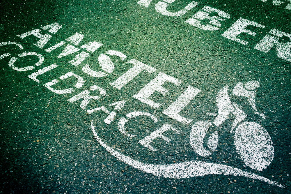
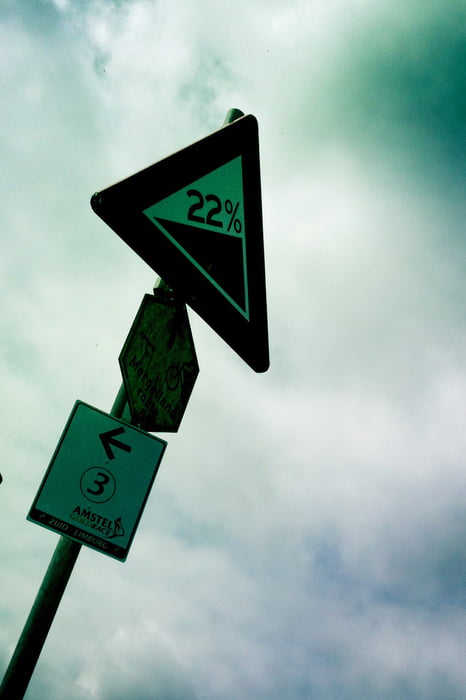
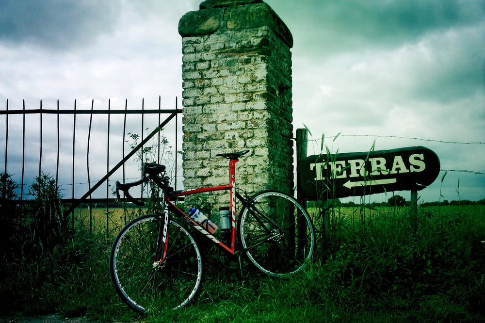
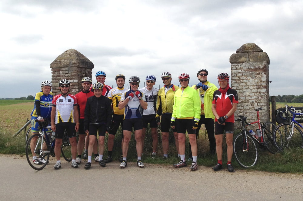
Tour gallery

Tour map and elevation profile

  • Open Street Map
  • Google
Minimum height 61 m Maximum height 296 m Detailed view

More about the tour author

Guennae
Member since 2007

Send private message

Comments

GPS tracks

Trackpoints
  • GPX / Garmin Map Source (gpx) download
  • TCX / Garmin Training Center® (tcx) download
  • CRS / Garmin Training Center® (crs) download
  • Google Earth (kml) download
  • G7ToWin (g7t) download
  • TTQV (trk) download
  • Overlay (ovl) download
  • Fugawi (txt) download
  • Kompass (DAV) Track (tk) download
  • Track data sheet (pdf) download
  • Original file of the author (gpx) download

More about the tour author

Guennae
Member since 2007

Send private message
Share track
Add to my favorites
Remove from my favorites
Edit tags
My score
Rate
Track: 4 Tage im Dreiländereck, 2. Tag Niederlande
Type: Road biking
Distance: 112,4 km
Evaluated on:
Duration:
Day(s)
Hour(s)
Minute(s)
Score: Landscape Fun factor Fitness Technique