Login

Forgotten password?

Cookies have to be accepted!
Your browser's cookie functionality is disabled. Please enable this functionality.

Not a member yet?

Register now
Login

Available for registred users only

Log in to use this feature.

Forgotten password?

Cookies have to be accepted!
Your browser's cookie functionality is disabled. Please enable this functionality.

Not a member yet?

Register now
Filter
Categories
Advanced filters
  • Distance (km)
  • Height
Save filters Reset filter

TrackRank

QRCode

Technical data

Distance120,9 km Height1068 m Way down1098 m Duration06:00 h:m Date27.06.2014
Scores Author Landscape Fun factor Fitness Technique

Statistics

955 Views Scores 114 Downloads Average
Rate
  • Track data sheet
  • Directions
  • Downloads

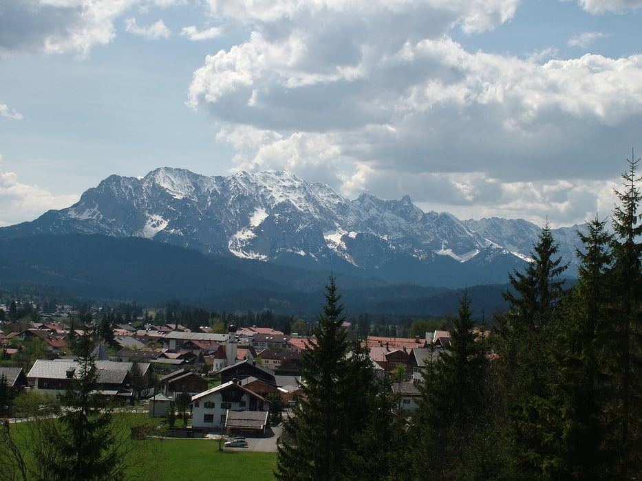
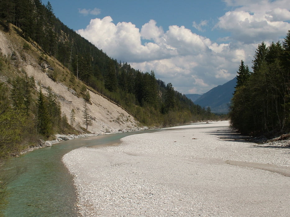
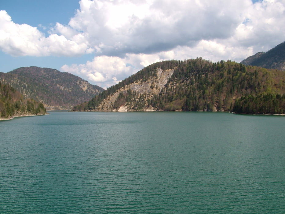
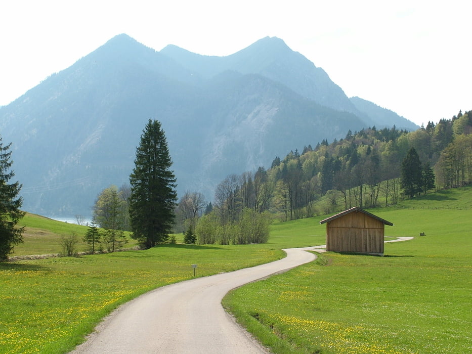
Karwendel-Sylvenstein Runde

Von Ohlstadt über den Kochel am Kochelsee vorbei zum Walchensee, in Wallgau Richtung Vorderriss der Isar entlang von dort zum Sylvenstein Stausee von wo dort aus wurde Richtung Wies weitergefahren ehe es in die Jachenau ging und über Sachenbach zurück zum Walchensee, Kochelsee und wieder nach Ohlstadt. 

Für mich war diese Tour vielleicht die Landschaftlich schönste Tour die ich bis jetzt gefahren bin.

Further information at

http://www.walchensee.de/index.php?id=0,41

Tour gallery

Tour map and elevation profile

  • Open Street Map
  • Google
Minimum height 592 m Maximum height 900 m Detailed view

More about the tour author

Sibimalko
Member since 2009

Send private message

Comments

Anreise mit der Bahn von München nach Ohlstadt

GPS tracks

Trackpoints
  • GPX / Garmin Map Source (gpx) download
  • TCX / Garmin Training Center® (tcx) download
  • CRS / Garmin Training Center® (crs) download
  • Google Earth (kml) download
  • G7ToWin (g7t) download
  • TTQV (trk) download
  • Overlay (ovl) download
  • Fugawi (txt) download
  • Kompass (DAV) Track (tk) download
  • Track data sheet (pdf) download
  • Original file of the author (gpx) download

More about the tour author

Sibimalko
Member since 2009

Send private message
Share track
Add to my favorites
Remove from my favorites
Edit tags
My score
Rate
Track: RR-Karwendel
Type: Road biking
Distance: 120,9 km
Evaluated on:
Duration:
Day(s)
Hour(s)
Minute(s)
Score: Landscape Fun factor Fitness Technique