
Login

Forgotten password?

Cookies have to be accepted!
Your browser's cookie functionality is disabled. Please enable this functionality.

Not a member yet?

Register now
Login

Available for registred users only

Log in to use this feature.

Forgotten password?

Cookies have to be accepted!
Your browser's cookie functionality is disabled. Please enable this functionality.

Not a member yet?

Register now
Filter
Categories
Advanced filters
  • Distance (km)
  • Height
Save filters Reset filter

TrackRank

QRCode

Technical data

Distance18,8 km Height902 m Way down856 m Duration06:00 h:m Date06.08.2014
Scores Author Landscape Fun factor Fitness Technique

Statistics

1351 Views Scores 118 Downloads Average
Rate
  • Track data sheet
  • Directions
  • Downloads

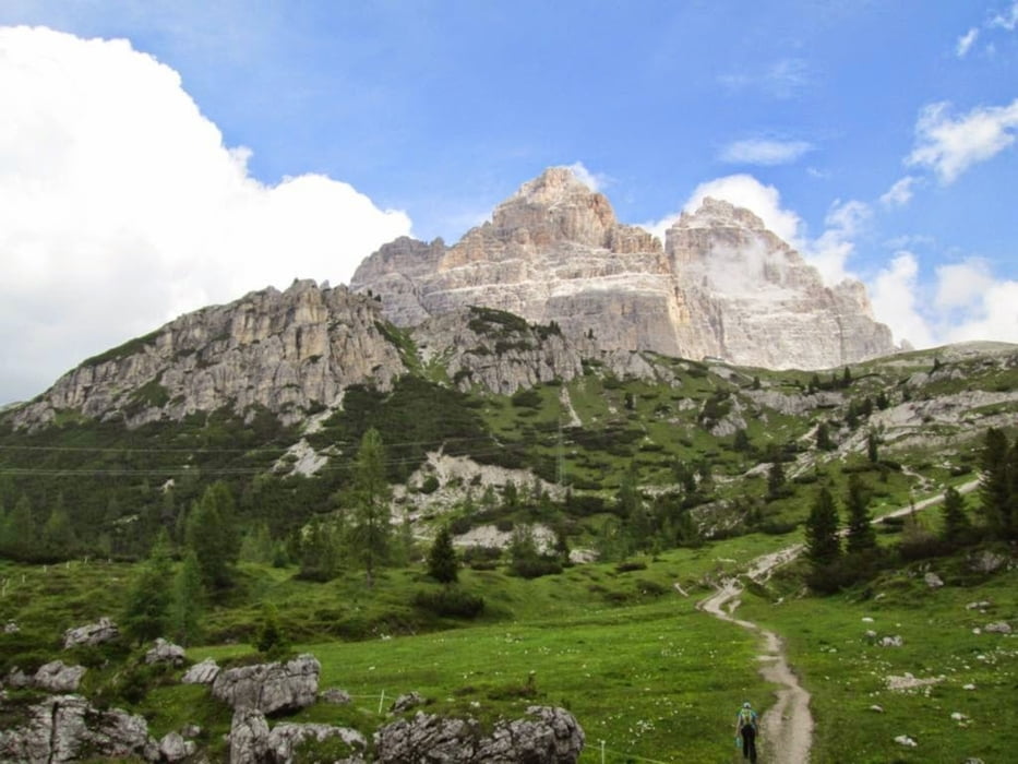
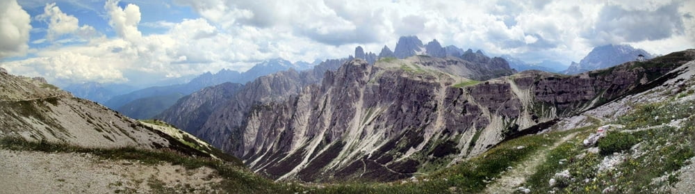
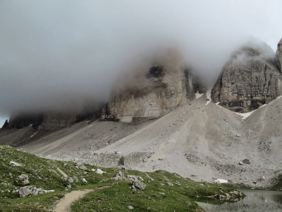
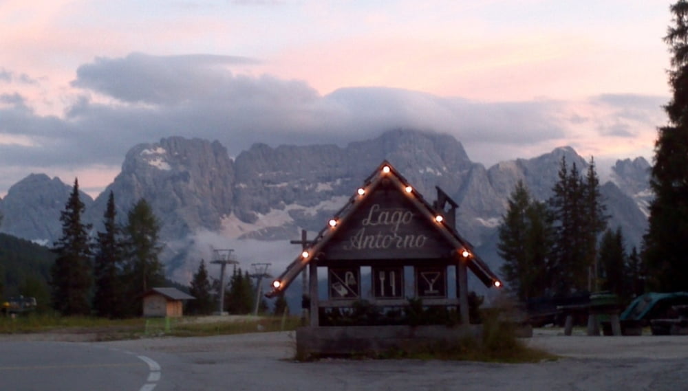
Start vom Lago Antorno - durch Wald und Berg bis zur 3Zinnenumrundung mit Zwischenstopp in der 3ZinnenHütte

Anfangs etwa 2 Stunden durch Wald bis zum Ausgangspunkt der eigentlichen Runde, welche oft online zu finden ist, und vom Endpunkt der Mautstraße startet. Vorteil dieser Route: es ist weder eine Gondel nötig, noch eine Maut zu zahlen (24 Euro Mautstraße), wodurch das Landschaftserlebnis außerdem auch noch um 2-3 Stunden länger andauert :-)

übrigens: es gibt ein Restaurant/Gasthaus am Lago, wo man speisen und/oder nächtigen kann


Tour gallery

Tour map and elevation profile

  • Open Street Map
  • Google
Minimum height 1829 m Maximum height 2452 m Detailed view

More about the tour author

manolf80
Member since 2011

Send private message

Comments

More about the tour author

manolf80
Member since 2011

Send private message
Share track
Add to my favorites
Remove from my favorites
Edit tags
My score
Rate
Track: Drei Zinnen Umrundung ab Lago Atorno
Type: Hiking
Distance: 18,8 km
Evaluated on:
Duration:
Day(s)
Hour(s)
Minute(s)
Score: Landscape Fun factor Fitness Technique