Login

Forgotten password?

Cookies have to be accepted!
Your browser's cookie functionality is disabled. Please enable this functionality.

Not a member yet?

Register now
Login

Available for registred users only

Log in to use this feature.

Forgotten password?

Cookies have to be accepted!
Your browser's cookie functionality is disabled. Please enable this functionality.

Not a member yet?

Register now
Filter
Categories
Advanced filters
  • Distance (km)
  • Height
Save filters Reset filter

TrackRank

QRCode

Technical data

Distance32,6 km Height713 m Way down706 m Duration03:30 h:m Date16.02.2008
Scores Author Landscape Fun factor Fitness Technique

Statistics

1736 Views 4 Scores 487 Downloads 4.00 Average
Rate
  • Track data sheet
  • Directions
  • Downloads

Tour-Verlauf neu eingestellt nach dem man die Waldwege in Forst-Autobahnen umgebaut hat.

Viel Spass auf der Rund-Tour.
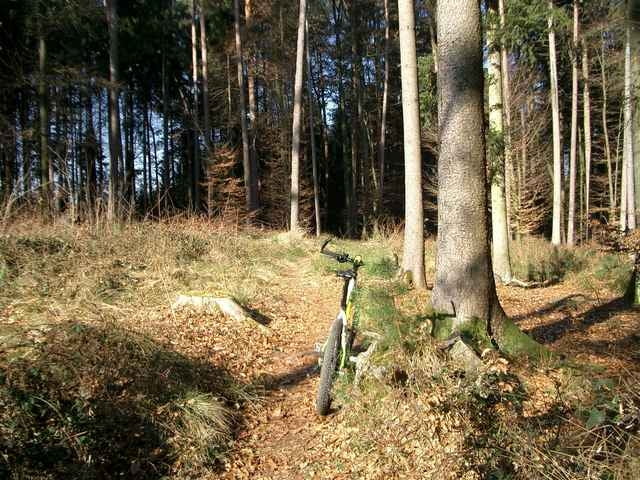
Tour gallery

Tour map and elevation profile

  • Open Street Map
  • Google
Minimum height 432 m Maximum height 556 m Detailed view

More about the tour author

Mecka-Joe
Member since 2008

Send private message

Comments

ländlerider on 16.02.2008

Tettnangerwald

schöne Trailstrecken auf kleinem Raum!
Huti on 17.02.2008

Tettnangerwald

Super Trailtour, habe selbst als "Eingeborener" noch neue Eindrücke gesammelt.
allgaeubiker on 27.05.2009

Trailvorlage

Ich habe die Trails im Tettnager Wald in meine Tour eingebaut und war echt begeistert was es hier so alles gibt. Da sind echtein paar heiße Trails dabei.
Danke dafür!
reiller on 14.11.2010

prima

Nette Trailtour, sehr abwechslungsreich. Leider haben wir uns gelegentlich verzettelt, also Schleifen falsch herum angefahren. Nächstes mal machen wir das besser... ;-)

GPS tracks

Trackpoints
  • GPX / Garmin Map Source (gpx) download
  • TCX / Garmin Training Center® (tcx) download
  • CRS / Garmin Training Center® (crs) download
  • Google Earth (kml) download
  • G7ToWin (g7t) download
  • TTQV (trk) download
  • Overlay (ovl) download
  • Fugawi (txt) download
  • Kompass (DAV) Track (tk) download
  • Track data sheet (pdf) download
  • Original file of the author (gpx) download

More about the tour author

Mecka-Joe
Member since 2008

Send private message
Share track
Add to my favorites
Remove from my favorites
Edit tags
My score
Rate
Track: Tettnangerwald-Trailtour
Type: Mountain bike
Distance: 32,6 km
Evaluated on:
Duration:
Day(s)
Hour(s)
Minute(s)
Score: Landscape Fun factor Fitness Technique