Login

Forgot your login?

Cookies have to be accepted!
Your browser's cookie functionality is disabled. Please enable this functionality.

Not a member yet?

Register now
Login

Available for registred users only

Log in to use this feature.

Forgot your login?

Cookies have to be accepted!
Your browser's cookie functionality is disabled. Please enable this functionality.

Not a member yet?

Register now
Filter
Categories
Advanced filters
  • Distance (km)
  • Height
Save filters Reset filter

TrackRank

QRCode

Technical data

Distance7,5 km Height193 m Way down198 m Duration01:55 h:m Date11.08.2014
Scores Author Landscape Fun factor Fitness Technique

Statistics

933 Views 1 Score 36 Downloads 4.00 Average
Rate
  • Track data sheet
  • Directions
  • Downloads

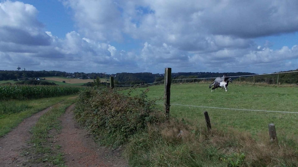
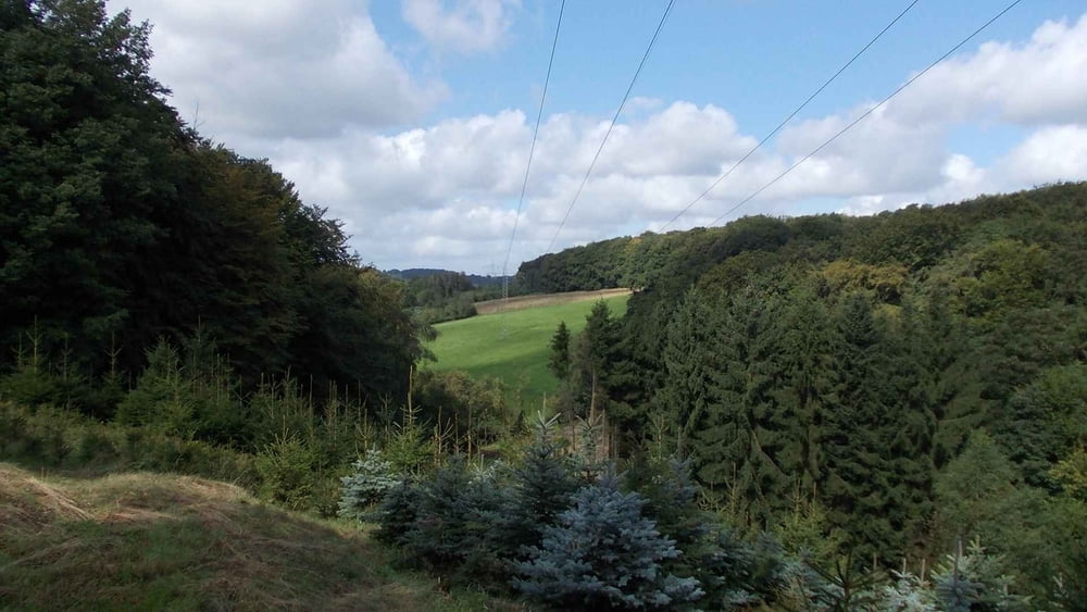
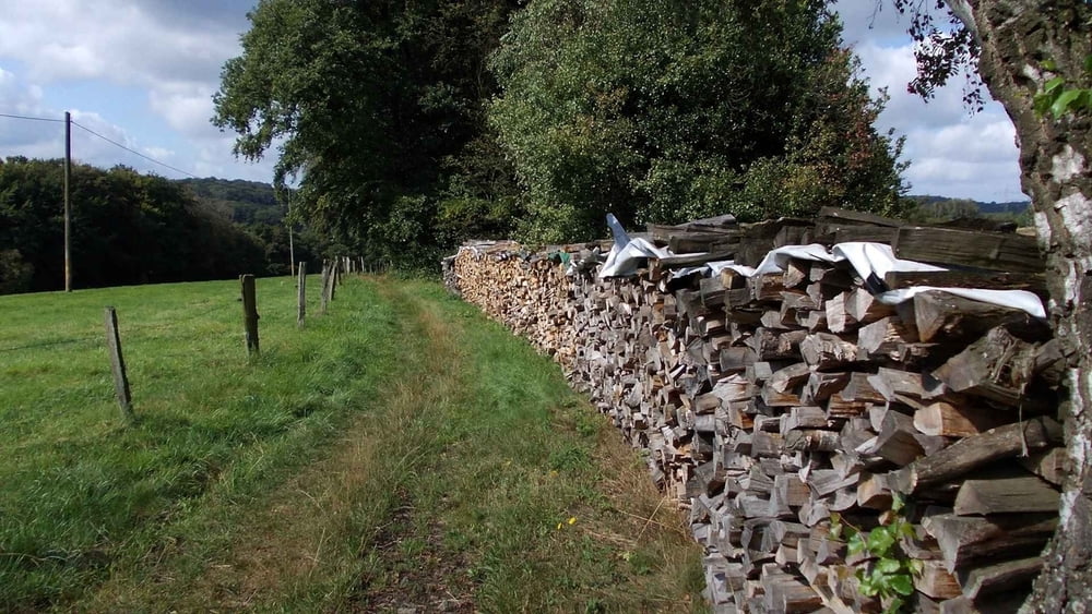
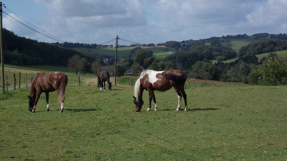
Ausgehend von Herzkamp (Stadtteil von Sprockhövel) erwandern wir eine sehr schöne Runde durch die landwirtschaftlich geprägte Landschaft.

Viel Spaß

Further information at

http://www.teneriffatouren.com/

Tour gallery

Tour map and elevation profile

  • Open Street Map
  • Google
Minimum height 210 m Maximum height 287 m Detailed view

More about the tour author

Uerigefan
Member since 2009

Send private message

Comments

Auto Navi:   Martin-Luther-Str. 4,  45549 Sprockhövel

GPS tracks

Trackpoints
  • GPX / Garmin Map Source (gpx) download
  • TCX / Garmin Training Center® (tcx) download
  • CRS / Garmin Training Center® (crs) download
  • Google Earth (kml) download
  • G7ToWin (g7t) download
  • TTQV (trk) download
  • Overlay (ovl) download
  • Fugawi (txt) download
  • Kompass (DAV) Track (tk) download
  • Track data sheet (pdf) download
  • Original file of the author (gpx) download

More about the tour author

Uerigefan
Member since 2009

Send private message
Share track
Add to my favorites
Remove from my favorites
Edit tags
My score
Rate
Track: Herzkamp Rundwanderung
Type: Hiking
Distance: 7,5 km
Evaluated on:
Duration:
Day(s)
Hour(s)
Minute(s)
Score: Landscape Fun factor Fitness Technique