Login

Forgot your login?

Cookies have to be accepted!
Your browser's cookie functionality is disabled. Please enable this functionality.

Not a member yet?

Register now
Login

Available for registred users only

Log in to use this feature.

Forgot your login?

Cookies have to be accepted!
Your browser's cookie functionality is disabled. Please enable this functionality.

Not a member yet?

Register now
Filter
Categories
Advanced filters
  • Distance (km)
  • Height
Save filters Reset filter

TrackRank

QRCode

Technical data

Distance8,4 km Height201 m Way down212 m Duration01:55 h:m Date12.08.2014
Scores Author Landscape Fun factor Fitness Technique

Statistics

326 Views Scores 36 Downloads Average
Rate
  • Track data sheet
  • Directions
  • Downloads

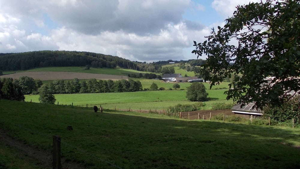
Von Ausgangspunkt, der Löhener Str. geht es durch ein schönes Tal, bis es rechts hoch zum Anstieg des Winterbergs geht.

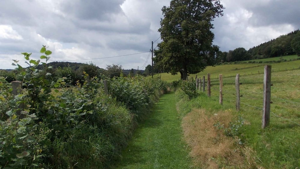
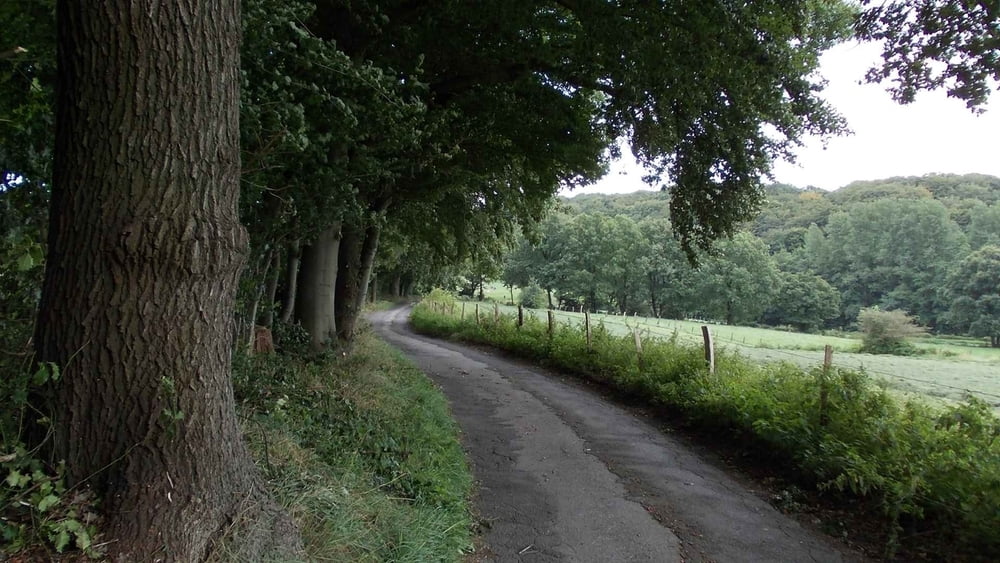
Wir überqueren den Winterberg auf recht unterschiedlichen Wegen und landwirtschaftlich genutzten Straßen.

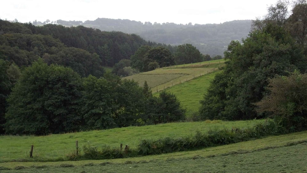
Es gibt an einigen Stellen nette Fernblicke bis zum Ruhrgebiet.

In einen großen Bogen geht es zum Ausgangspunkt zurück.

Viel Spaß  

Further information at

http://www.teneriffatouren.com/

Tour gallery

Tour map and elevation profile

  • Open Street Map
  • Google
Minimum height 211 m Maximum height 321 m Detailed view

More about the tour author

Uerigefan
Member since 2009

Send private message

Comments

Auto Navi:  Löhener Szt. 67,  45549 Sprockhövel

GPS tracks

Trackpoints
  • GPX / Garmin Map Source (gpx) download
  • TCX / Garmin Training Center® (tcx) download
  • CRS / Garmin Training Center® (crs) download
  • Google Earth (kml) download
  • G7ToWin (g7t) download
  • TTQV (trk) download
  • Overlay (ovl) download
  • Fugawi (txt) download
  • Kompass (DAV) Track (tk) download
  • Track data sheet (pdf) download
  • Original file of the author (gpx) download

More about the tour author

Uerigefan
Member since 2009

Send private message
Share track
Add to my favorites
Remove from my favorites
Edit tags
My score
Rate
Track: Winterberg-Überquerung
Type: Hiking
Distance: 8,4 km
Evaluated on:
Duration:
Day(s)
Hour(s)
Minute(s)
Score: Landscape Fun factor Fitness Technique